
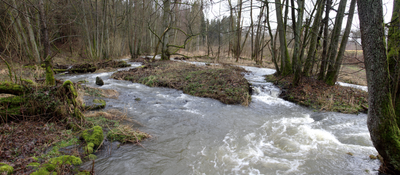
Lauter und Eisenbach, protected area in the European Union defined by the habitats directive in Hessen, Germany
Location: Vogelsbergkreis
Inception: 2004
GPS coordinates: 50.58672,9.31389
Latest update: March 3, 2025 03:10
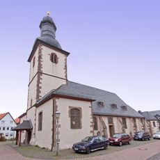
St. Jakobus
3.6 km
Evangelische Kirche Dirlammen
2.3 km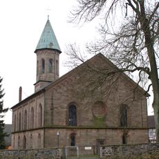
Evangelische Kirche Engelrod
3.7 km
Am Mühlbach 30
4.4 km
Zur Landwehr 4
4.4 km
Evangelische Kirche Hopfmannsfeld
249 m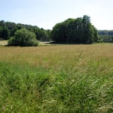
Naturschutzgebiet Münchswiesen bei Frischborn
2.7 km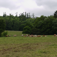
Naturschutzgebiet Bienwiesen bei Allmenrod
4.3 km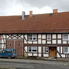
Am Mühlbach 16
4.5 km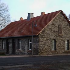
Hopfmannsfelder Straße 14
4.4 km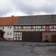
Am Mühlbach 28
4.4 km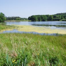
Naturschutzgebiet Schalksbachteiche
2 km
Obergasse 22
4.5 km
Hopfmannsfelder Straße 4
4.5 km
Am Mühlbach 31
4.4 km
Zur Landwehr 18
4.4 km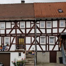
Zur Landwehr 6 und 8
4.4 km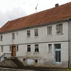
Zur Landwehr 2
4.4 km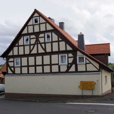
Obergasse 28
4.4 km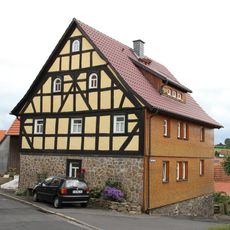
Obergasse 24
4.5 km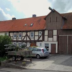
Zur Landwehr 12
4.4 km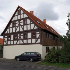
Am Mühlbach 18
4.5 km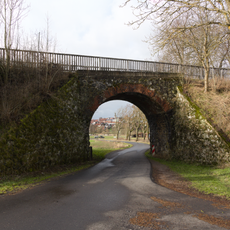
Ehem. Bahnviadukt
4.4 km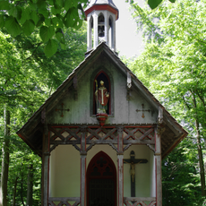
Kreuzkapelle
2.7 km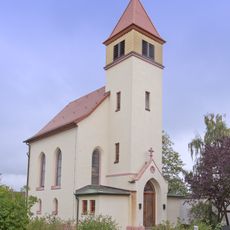
Evangelische Kirche
3.6 km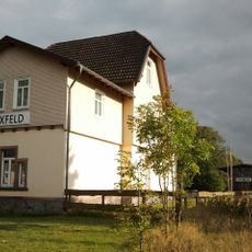
Ehem. Bahnhof und Güterschuppen
3.5 km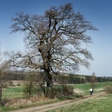
Eiche in der Kreuzwiese von Engelrod
3.5 km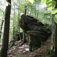
Felsenruhe bei Herbstein
2.1 kmVisited this place? Tap the stars to rate it and share your experience / photos with the community! Try now! You can cancel it anytime.
Discover hidden gems everywhere you go!
From secret cafés to breathtaking viewpoints, skip the crowded tourist spots and find places that match your style. Our app makes it easy with voice search, smart filtering, route optimization, and insider tips from travelers worldwide. Download now for the complete mobile experience.

A unique approach to discovering new places❞
— Le Figaro
All the places worth exploring❞
— France Info
A tailor-made excursion in just a few clicks❞
— 20 Minutes