
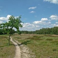
Die Reit, protected area in the European Union defined by the habitats directive in Hansestadt Hamburg, Germany
Location: Hamburg
Inception: 2006
GPS coordinates: 53.47560,10.10957
Latest update: March 5, 2025 18:07
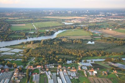
Boberger Niederung
4.6 km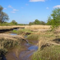
Heuckenlock
4.7 km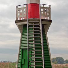
Leuchtturm Bunthäuser Spitze
3.4 km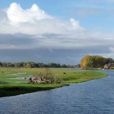
Die Reit
75 m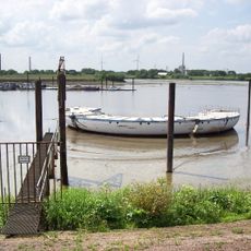
Antarctic Technology Offshore Lagoon Laboratory
4.9 km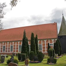
Dreieinigkeitskirche
1.4 km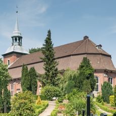
Church Ochsenwerder
1.6 km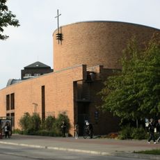
Edith-Stein-Kirche
4.9 km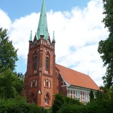
St. Nikolai
4.4 km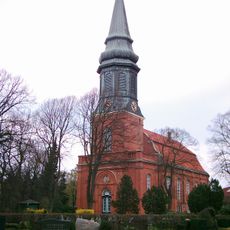
St. Nikolai, Hamburg-Billwerder
4.4 km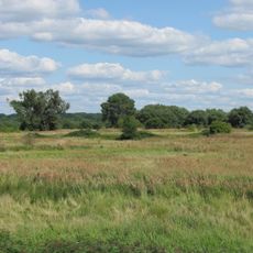
Auenlandschaft Norderelbe
4.7 km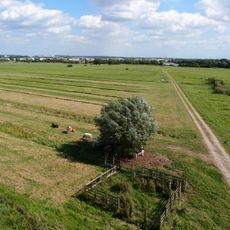
Allermöher Wiesen
2 km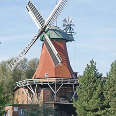
Reitbrooker Mühle
4.2 km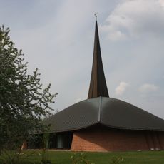
Franz-von-Assisi-Kirche
4.4 km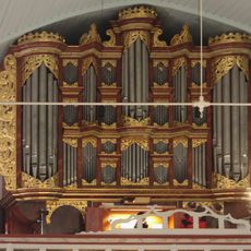
Schnitger organ in St. Pankratius
1.6 km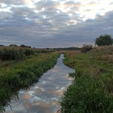
Goetjensorter Wettern
4.5 km
Kirchenschule Allermöhe
1.5 km
Moorfleet
3.2 km
Spadenland
3.8 km
Tatenberg
2.7 km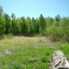
Ochsenwerder
2.9 km
Oortkaten train station
1.8 km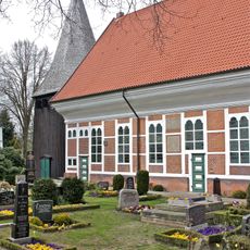
Friedhof an der Dreieinigkeitskirche Allermöhe
1.5 km
Boberg
4.1 km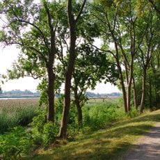
Wilhelmsburger Elbinsel
4.6 km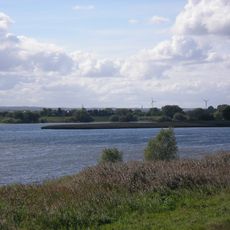
Hamburger Unterelbe
4.6 km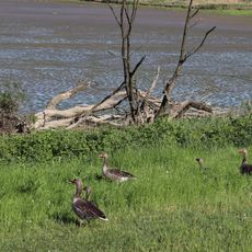
Holzhafen
4.9 km
Moorfleeter Deich 359
2.4 kmReviews
Visited this place? Tap the stars to rate it and share your experience / photos with the community! Try now! You can cancel it anytime.
Discover hidden gems everywhere you go!
From secret cafés to breathtaking viewpoints, skip the crowded tourist spots and find places that match your style. Our app makes it easy with voice search, smart filtering, route optimization, and insider tips from travelers worldwide. Download now for the complete mobile experience.

A unique approach to discovering new places❞
— Le Figaro
All the places worth exploring❞
— France Info
A tailor-made excursion in just a few clicks❞
— 20 Minutes