
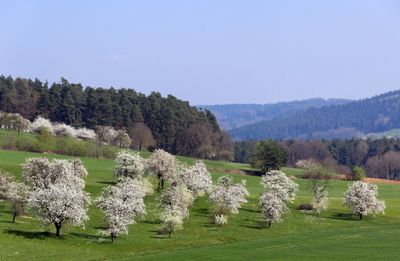
Streuobst, Kopfeichen und Quellen am Hetzleser Berg, protected area in the European Union defined by the habitats directive in Bayern, Germany
Location: Forchheim
Inception: 2004
GPS coordinates: 49.63853,11.17031
Latest update: March 2, 2025 20:15
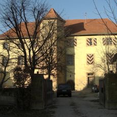
Schloss Ermreuth
1.5 km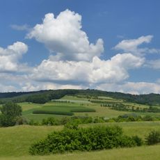
Hetzleser Berg
2.3 km
Synagoge in Ermreuth
1.6 km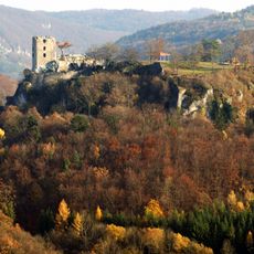
Ringwall Lindelberg
1.8 km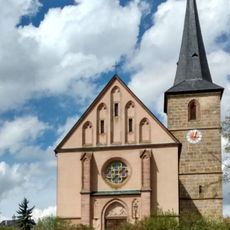
Kirche
3.2 km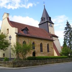
St. Peter und Paul
1.5 km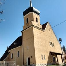
Filialkirche
2.5 km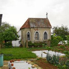
Kapelle
3.2 km
Laubmischwald am Hetzleser Berg
2.8 km
Wegkapelle
3.3 km
Wegkapelle
2.7 km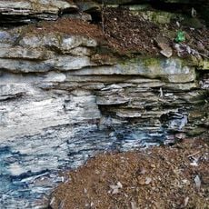
Ölschiefer-Aufschluss NNW von Hetzles
3 km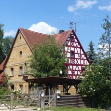
Bauernhaus
722 m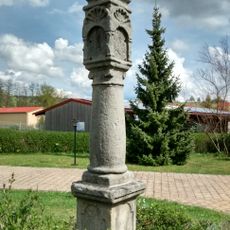
Marter
3.2 km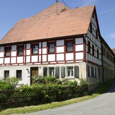
Bauernhaus
1.5 km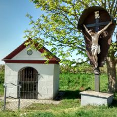
Wegkreuz
2.7 km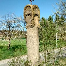
Marter
2.7 km
Bauernhaus
2.5 km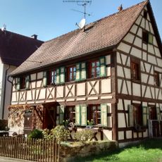
Bauernhaus
2.4 km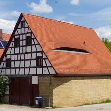
Scheune
1.6 km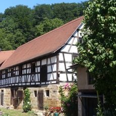
Scheune
3.3 km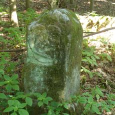
Grenzstein
3.5 km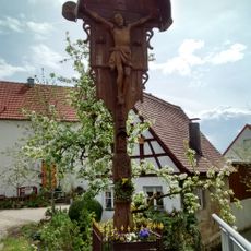
Wegkreuz
3 km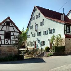
Bauernhaus
2.4 km
Schloss
1.5 km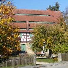
Bauernhaus
3.2 km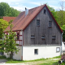
Bauernhaus
1.6 km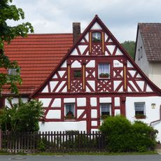
Cultural heritage D-4-74-140-8 in Igensdorf
3.4 kmVisited this place? Tap the stars to rate it and share your experience / photos with the community! Try now! You can cancel it anytime.
Discover hidden gems everywhere you go!
From secret cafés to breathtaking viewpoints, skip the crowded tourist spots and find places that match your style. Our app makes it easy with voice search, smart filtering, route optimization, and insider tips from travelers worldwide. Download now for the complete mobile experience.

A unique approach to discovering new places❞
— Le Figaro
All the places worth exploring❞
— France Info
A tailor-made excursion in just a few clicks❞
— 20 Minutes