
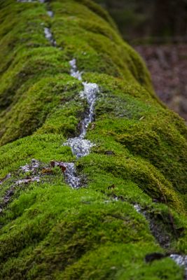
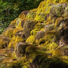
Trauf der mittleren Frankenalb im Sulztal, protected area in the European Union defined by the habitats directive in Bayern, Germany
Location: Neumarkt
Inception: 2000
GPS coordinates: 49.11626,11.42139
Latest update: March 9, 2025 08:35
Hoher Brunnen bei Sollngriesbach
1.5 km
St. Nikolaus
909 m
Burgstall Hohenbrunnen
1.5 km
Bildstock Erasbacher Straße Sollngriesbach
1.6 km
St. Maria
1.2 km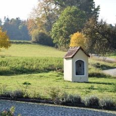
Feldkapelle St. Maria
781 m
Aisled house
935 m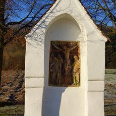
Bildstock im Stadtfeld
995 m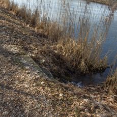
Bacheinleitung bei km 49 95
1.5 km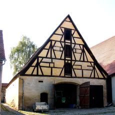
Probststraße 5;Ringmauerweg 3
1.6 km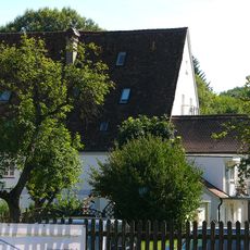
Gredinger Straße 2
1.4 km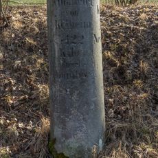
Kilometerstein 50 KM bei Sollngriesbach
1.6 km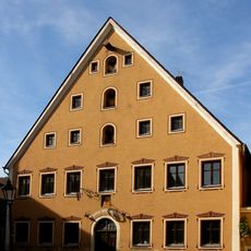
Ehemalige Vogtei, später Engelwirt
1.6 km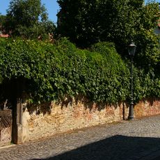
Gartenmauer des Propstgartens mit Tür
1.6 km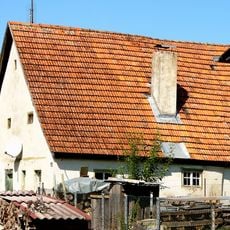
Wohnstallhaus
952 m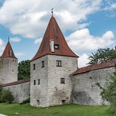
Biersiederturm
1.5 km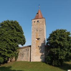
Frauenturm
1.5 km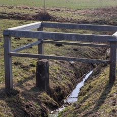
Bachdurchlass nördlich der Schleuse 24
1.5 km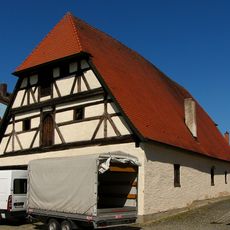
Schmiedstraße 8
1.6 km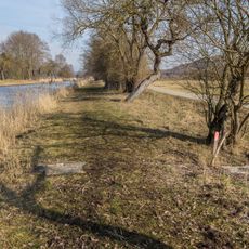
Bacheinleitung bei km 50 1
1.6 km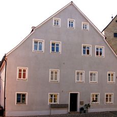
Bürgerhaus
1.6 km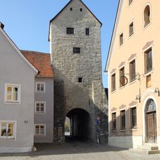
Oberer Torturm (Berching)
1.6 km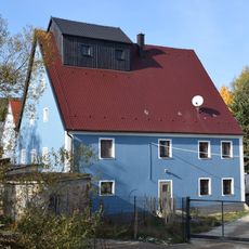
Mühlengebäude der Kreuzmühle
1.2 km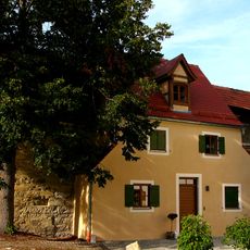
Ringmauerweg 6
1.5 km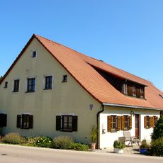
Wohnstallhaus
1.1 km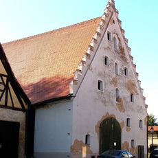
Probststraße 11
1.6 km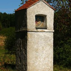
Bildstock
1 km
Chinesenturm
1.6 kmReviews
Visited this place? Tap the stars to rate it and share your experience / photos with the community! Try now! You can cancel it anytime.
Discover hidden gems everywhere you go!
From secret cafés to breathtaking viewpoints, skip the crowded tourist spots and find places that match your style. Our app makes it easy with voice search, smart filtering, route optimization, and insider tips from travelers worldwide. Download now for the complete mobile experience.

A unique approach to discovering new places❞
— Le Figaro
All the places worth exploring❞
— France Info
A tailor-made excursion in just a few clicks❞
— 20 Minutes