
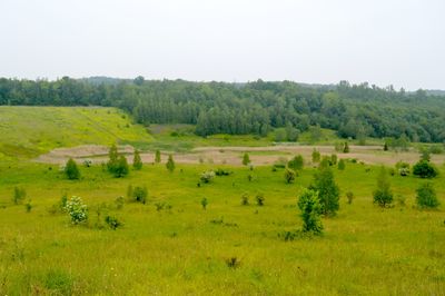
Kammmolch-Biotop Tagebau Haverlahwiese, protected area in the European Union defined by the habitats directive in Niedersachsen, Germany
Location: Salzgitter
Inception: 2004
GPS coordinates: 52.10731,10.31202
Latest update: March 7, 2025 06:27
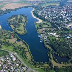
Salzgittersee
3.9 km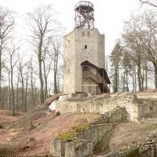
Lichtenberg Castle
2.2 km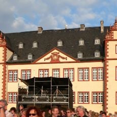
Salder House
3.6 km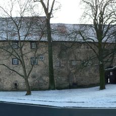
Burg Gebhardshagen
3.2 km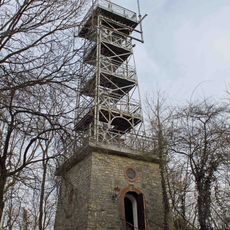
Bismarck Tower
6 km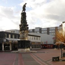
Turm der Arbeit
5.4 km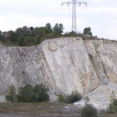
Kalksteinbruch Salzgitter-Salder
2.3 km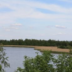
Heerter See und Waldgebiet Heerter Strauchholz
5.1 km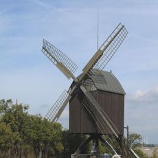
Bockwindmühle Lichtenberg
3.3 km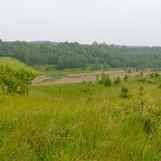
Tagebau Haverlahwiese
509 m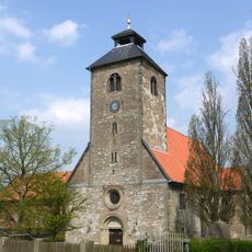
St. Nicolaikirche (Salzgitter-Gebhardshagen)
3.2 km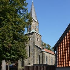
Saint Andrew Church
5 km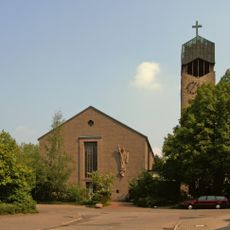
St. Michael
4.7 km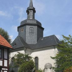
Schlosskirche Maria Magdalena (Salzgitter-Salder)
3.8 km
St. Gabriel (Salzgitter)
2.5 km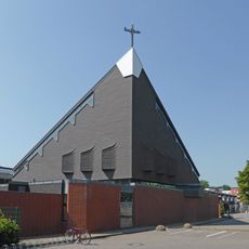
St. Maximilian Kolbe
3.8 km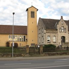
St. Abertus Magnus
5.7 km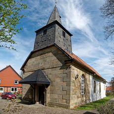
St. Paulus
6.2 km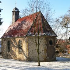
Schlosskirche St. Annen
5.1 km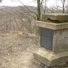
Gauß stone
2.4 km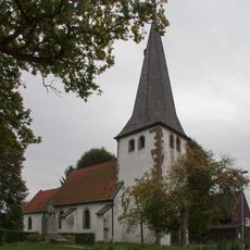
Christuskirche
1.6 km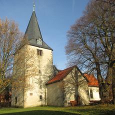
St. Martin
3.6 km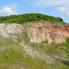
Steinbruch Baddeckenstedt
5.9 km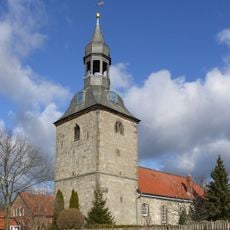
St.-Servatius-Kirche
6 km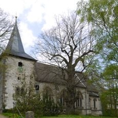
St. Katharinenkirche
3.7 km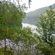
Waldgürtel zwischen Salzgitter-Osterlinde und Salzgitter-Bad (Salzgitterscher Höhenzug)
1.2 km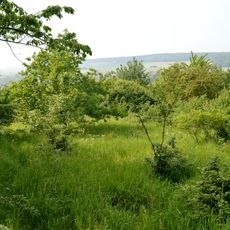
Lichtenberge - Oelber Tal - Elberberg-Höhenzug
4.6 km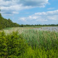
Heerter See
5.4 kmVisited this place? Tap the stars to rate it and share your experience / photos with the community! Try now! You can cancel it anytime.
Discover hidden gems everywhere you go!
From secret cafés to breathtaking viewpoints, skip the crowded tourist spots and find places that match your style. Our app makes it easy with voice search, smart filtering, route optimization, and insider tips from travelers worldwide. Download now for the complete mobile experience.

A unique approach to discovering new places❞
— Le Figaro
All the places worth exploring❞
— France Info
A tailor-made excursion in just a few clicks❞
— 20 Minutes