
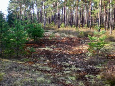
Nürnberger Reichswald, special protection area in Bayern, Germany
Location: Erlangen-Höchstadt
Location: Roth
Location: Nuremberg
Location: Nürnberger Land
Inception: 2004
GPS coordinates: 49.40755,11.27266
Latest update: March 3, 2025 02:03
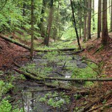
Gefütterter Graben bei Ungelstetten
1.9 km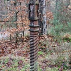
Rote Marter bei Winkelhaid
918 m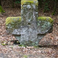
Zimmermannskreuz bei Ungelstetten
645 m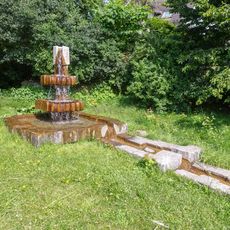
Brunnen in Moosbach
2 km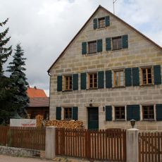
Bauernhof, Bauernhaus in Winkelhaid
1.8 km
Birnthon
1.1 km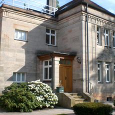
Villa in Feucht
2.2 km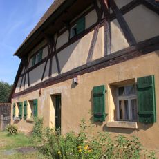
Wohnstallhaus in Feucht
1.8 km
Scheune Birnthon 1 in Nürnberg (D-5-64-000-2237#1)
924 m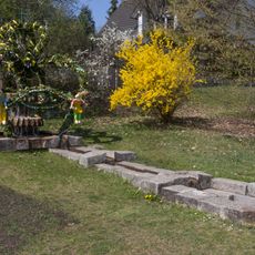
Easter fountains in Moosbach
2.1 km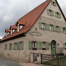
Ehem. Wohnstallhaus in Winkelhaid
1.8 km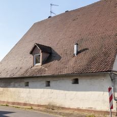
Wohnstallhaus in Winkelhaid
1.8 km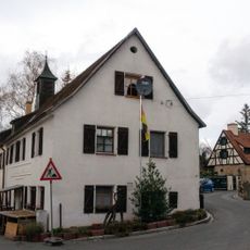
Ehemaliges Gasthaus in Birnthon
926 m
Wohnhaus Birnthon 7
951 m
Napoleoneiche
1.3 km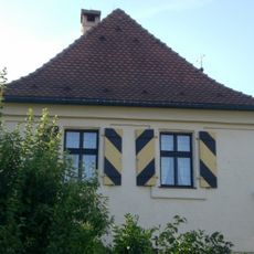
Cultural heritage D-5-6533-0195 in Nürnberg
937 m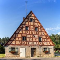
Wohnstallhaus in Winkelhaid
1.7 km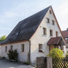
Wohnstallhaus in Winkelhaid
1.8 km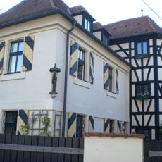
Ehemaliger Herrensitz Birnthon
937 m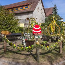
Easter fountains in Ungelstetten
1.8 km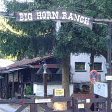
Bighorn Ranch
1.1 km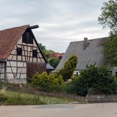
Wohnstallhaus in Feucht
1.8 km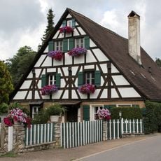
Wohnstallhaus in Winkelhaid
1.8 km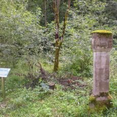
Forstreviergrenzstein Fischbach, Feucht und Ungelstetten
1 km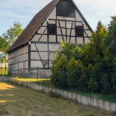
Scheune Birnthoner Weg 1 (D-5-74-123-43#1)
1.8 km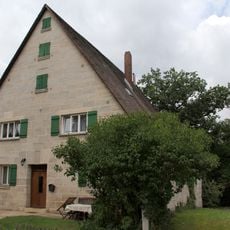
Wohnstallhaus in Winkelhaid
1.8 km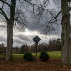
Flurkreuz Birnthon
1.2 km
Sandsteinbruch nördlich von Moosbach
232 mVisited this place? Tap the stars to rate it and share your experience / photos with the community! Try now! You can cancel it anytime.
Discover hidden gems everywhere you go!
From secret cafés to breathtaking viewpoints, skip the crowded tourist spots and find places that match your style. Our app makes it easy with voice search, smart filtering, route optimization, and insider tips from travelers worldwide. Download now for the complete mobile experience.

A unique approach to discovering new places❞
— Le Figaro
All the places worth exploring❞
— France Info
A tailor-made excursion in just a few clicks❞
— 20 Minutes