
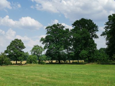
Elsterniederung und westliche Oberlausitzer Heide zwischen Senftenberg und Ortrand
Elsterniederung und westliche Oberlausitzer Heide zwischen Senftenberg und Ortrand, protected area in Germany
Location: Oberspreewald-Lausitz District
Inception: July 15, 1987
GPS coordinates: 51.43769,13.87391
Latest update: March 27, 2025 05:25
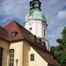
Stadtkirche Ruhland
2.4 km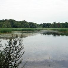
Sorgenteich
2 km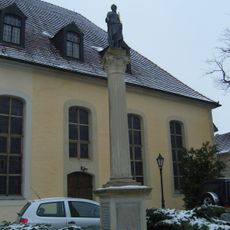
Germaniadenkmal in Ruhland
2.4 km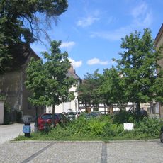
Brauhausplatz in Ruhland
2.3 km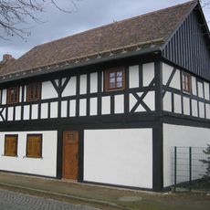
Dresdener Straße 35
2.2 km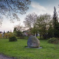
Prinzess-Luisen-Gedenkstein
2.2 km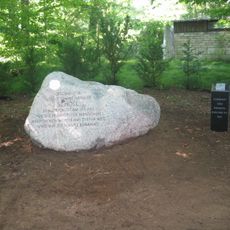
Geschwister-Scholl-Gedenkstein in Ruhland
1.8 km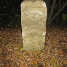
Mordweg-Stein
1.3 km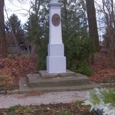
Moltke-Denkmal
2.3 km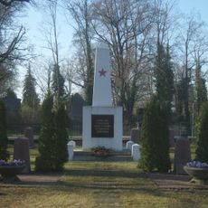
Soviet military cemetery Ruhland
1.9 km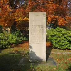
Second world war victims memorial stele at cemetery Ruhland
1.9 km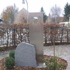
Geschwister-Scholl-Gedenkstätte an der Schule Ruhland
2.3 km
Rudolf-Breitscheid-Straße 4, Amtsgericht
2.1 km
Bahnhofstraße 3a/Hospitalstraße
2.3 km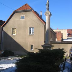
Bahnhofstraße 1
2.4 km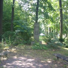
Ehrenhain in Ruhland
2.4 km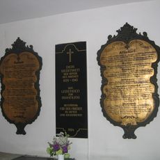
Gedenktafel Erster Weltkrieg
2.4 km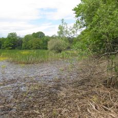
Sorgenteich
2 km
Bahnhofstraße 17
2.2 km
Goethestraße 16
2.4 km
Hospitalstraße 3
2.4 km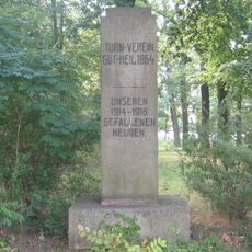
Turnerdenkmal
2.4 km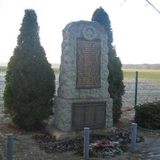
War memorial Arnsdorf
1.8 km
Fledermausquartier Kirche Ruhland
2.4 km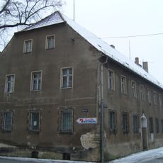
Bahnhofstraße 25
2.3 km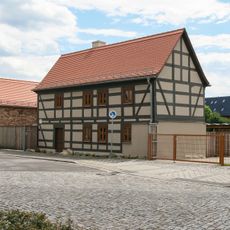
Marienstraße 12
2.3 km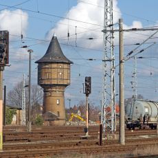
Ruhland water tower
1.8 km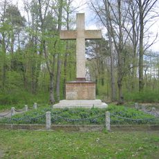
Kreuz im Heldenhain, Geschwister-Scholl-Weg, Ruhland
1.9 kmVisited this place? Tap the stars to rate it and share your experience / photos with the community! Try now! You can cancel it anytime.
Discover hidden gems everywhere you go!
From secret cafés to breathtaking viewpoints, skip the crowded tourist spots and find places that match your style. Our app makes it easy with voice search, smart filtering, route optimization, and insider tips from travelers worldwide. Download now for the complete mobile experience.

A unique approach to discovering new places❞
— Le Figaro
All the places worth exploring❞
— France Info
A tailor-made excursion in just a few clicks❞
— 20 Minutes