
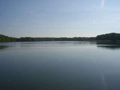
Körbaer Teich und Lebusaer Waldgebiet, protected area in Germany
Location: Teltow-Fläming District
Location: Elbe-Elster District
Inception: May 1, 1968
GPS coordinates: 51.79869,13.42135
Latest update: March 5, 2025 07:05
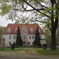
Schloss Lebusa
480 m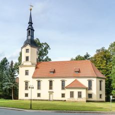
Dorfkirche Lebusa
358 m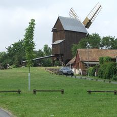
Lebusaer Windmühle
1.1 km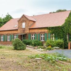
Pfarrhaus Hohenbucko
4.7 km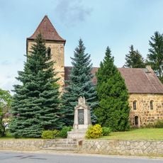
Village Church (Hohenbucko)
4.7 km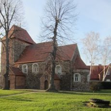
Dorfkirche Rosenthal
7.8 km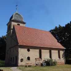
Dorfkirche Niendorf (Ihlow)
7.6 km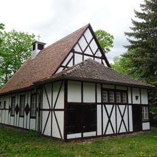
Dorfkirche Bollensdorf
4.3 km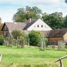
Lochmühle Hohenbucko
3 km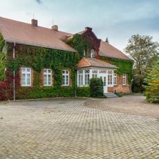
Oberförsterei Hohenbucko
4.4 km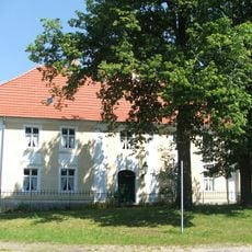
Bauerngehöft Dorfstraße 44
4.9 km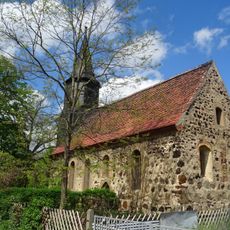
Protestant Church Knippelsdorf
5.7 km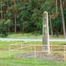
Kursächsische Postmeilensäule Hohenbucko
5.2 km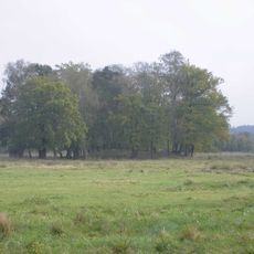
Turmhügel Schöna
2.9 km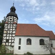
Dorfkirche Mehlsdorf
6.5 km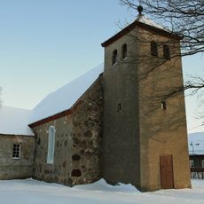
Protestant Church (Werchau)
7.5 km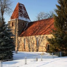
Protestant Church (Wiepersdorf)
6.9 km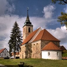
Protestant Church (Schöna)
2.7 km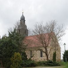
Protestant Church (Körba)
2.4 km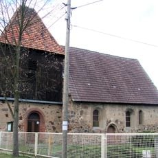
Protestant Church (Krassig)
6.5 km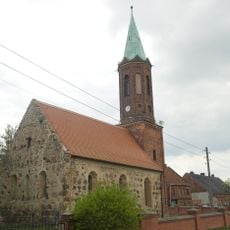
Protestant Church (Kolpien)
3.8 km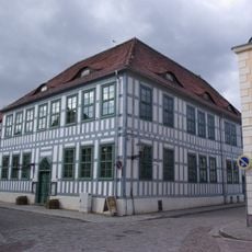
Heimatmuseum Dahme
8 km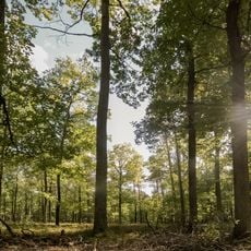
Rochauer Heide
7.7 km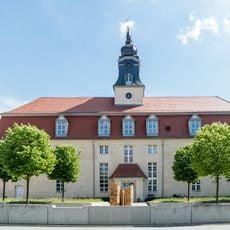
Hospitalkirche
7.8 km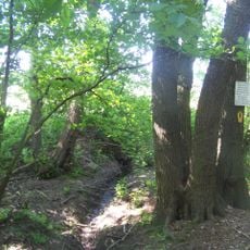
Dahmequelle
4.8 km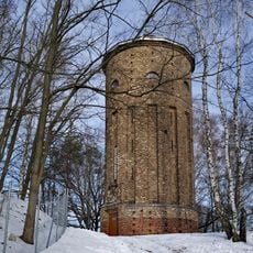
Wasserturm Schöna-Kolpien
3.2 km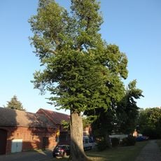
Naturdenkmal Ulme
7.8 km
Vogelturm
7.8 kmVisited this place? Tap the stars to rate it and share your experience / photos with the community! Try now! You can cancel it anytime.
Discover hidden gems everywhere you go!
From secret cafés to breathtaking viewpoints, skip the crowded tourist spots and find places that match your style. Our app makes it easy with voice search, smart filtering, route optimization, and insider tips from travelers worldwide. Download now for the complete mobile experience.

A unique approach to discovering new places❞
— Le Figaro
All the places worth exploring❞
— France Info
A tailor-made excursion in just a few clicks❞
— 20 Minutes