
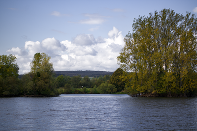
Naturschutzgebiet Westspitze Dutenhofener See, protected area in Germany
Location: Wetzlar
Inception: 1937
GPS coordinates: 50.56773,8.60474
Latest update: March 30, 2025 17:45
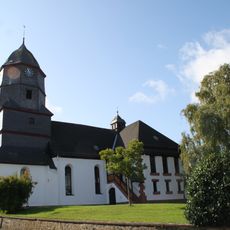
Evangelische Pfarrkirche
949 m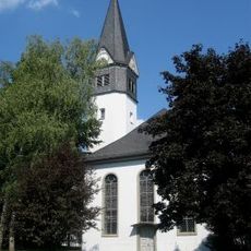
Evangelische Kirche Atzbach
1.6 km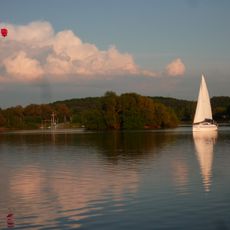
Lahnaue zwischen Atzbach, Dutenhofen und Heuchelheim
764 m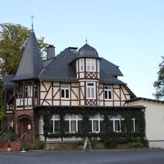
Jagdschlösschen
531 m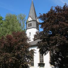
Evangelische Kirche
1.6 km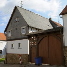
Bahnhofstraße 22
731 m
Bahnhofstraße 16
787 m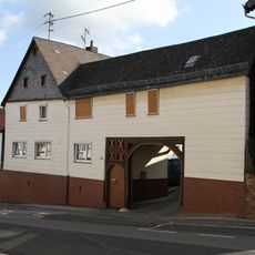
Bahnhofstraße 20
745 m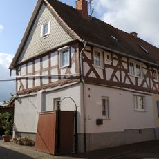
Lindengasse 6
996 m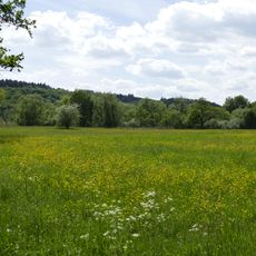
Auloch von Dutenhofen und Sändchen von Atzbach
1.8 km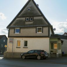
Gießener Straße 16
985 m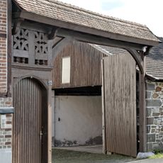
Kleebachstraße 113
1.2 km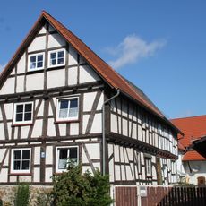
Wetzlarer Straße 2-4
1 km
Gesamtanlage Kirchplatz
956 m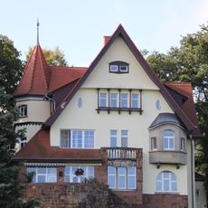
Villa Pascoe
925 m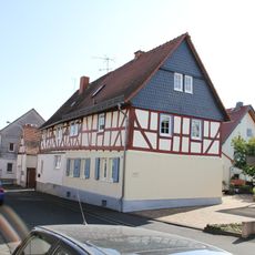
Lindengasse 4
1 km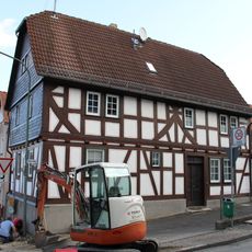
Bahnhofstraße 30
678 m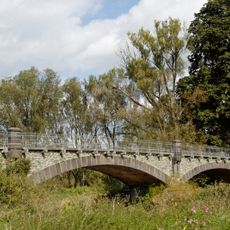
Lahnbrücke
352 m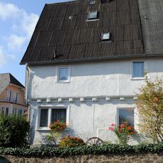
Grohgasse 2
990 m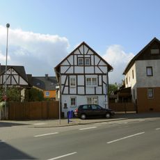
Gesamtanlage Wetzlarer Straße
1 km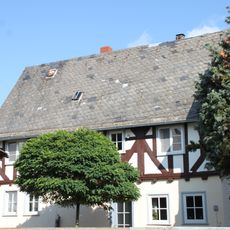
Wetzlarer Straße 12
1 km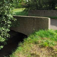
Kleebachbrücke
1.3 km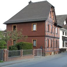
Grabenstraße 17
606 m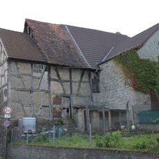
Garbenheimer Straße 1
688 m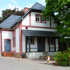
Backhaus
1.6 km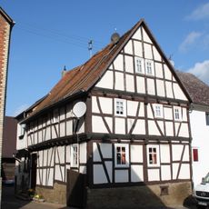
Bahnhofstraße 45
695 m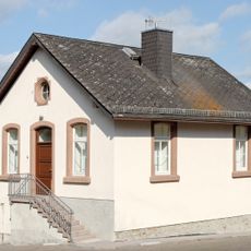
Bahnhofstraße 4
905 m
Gesamtanlage Bahnhofstraße
772 mVisited this place? Tap the stars to rate it and share your experience / photos with the community! Try now! You can cancel it anytime.
Discover hidden gems everywhere you go!
From secret cafés to breathtaking viewpoints, skip the crowded tourist spots and find places that match your style. Our app makes it easy with voice search, smart filtering, route optimization, and insider tips from travelers worldwide. Download now for the complete mobile experience.

A unique approach to discovering new places❞
— Le Figaro
All the places worth exploring❞
— France Info
A tailor-made excursion in just a few clicks❞
— 20 Minutes