
Naturschutzgebiet Auerberg bei Schwarz, protected area in Germany
Location: Grebenau
Inception: 1991
GPS coordinates: 50.71599,9.37448
Latest update: March 9, 2025 11:58
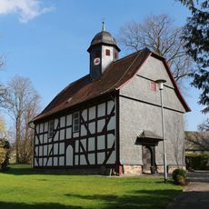
Evangelische Kirche Rainrod
2.7 km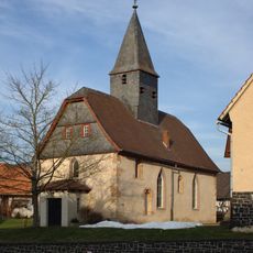
Evangelische Kirche Eifa
4.2 km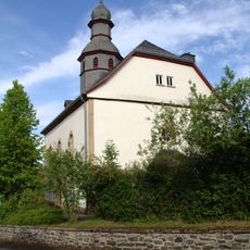
Evangelische Kirche Brauerschwend
4.2 km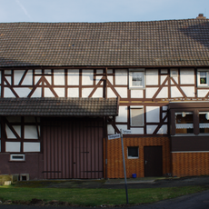
Drehgasse 4
4.2 km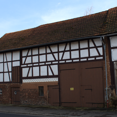
Einhäuser
4.6 km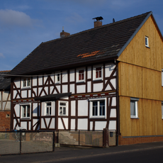
Vorstadt 9
4.2 km
Schulrain 4
4.2 km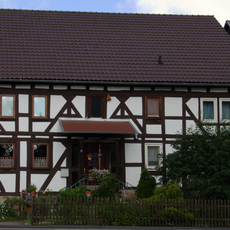
Aulastraße 2
4.3 km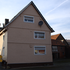
Vorstadt 7
4.3 km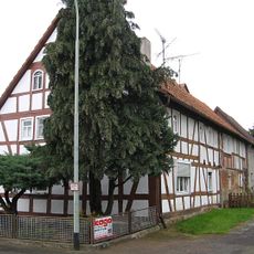
Wallenröder Straße 13/15
4.9 km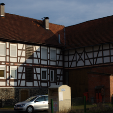
Vorstadt 8
4.2 km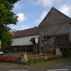
Streckhof
4.4 km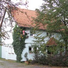
Wallenröder Straße 6
4.8 km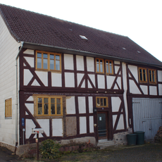
Fachwerkwohnhaus
4.1 km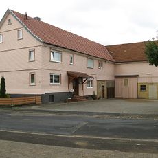
Wallenröder Straße 14
4.9 km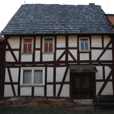
Fachwerkwohnhaus
4.2 km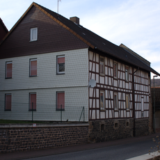
Rainröder Straße 7
4.2 km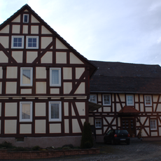
Drehgasse 2
4.2 km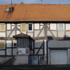
Uferstraße 18
4.1 km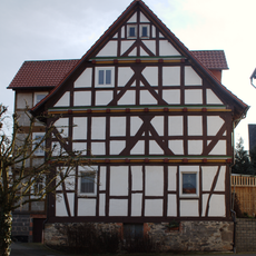
Hofanlage
4.1 km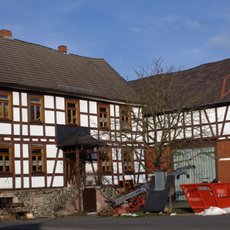
Hofanlage
4.2 km
DE HE 66682
4.3 km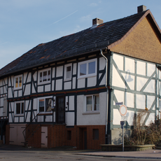
Drehgasse 1
4.2 km
Wallenröder Straße 27
5 km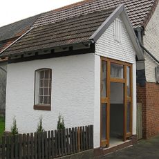
Waage
5 km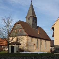
Magdalenenkapelle
4.2 km
Wallenröder Straße 12
4.9 km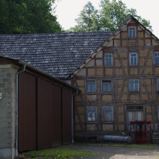
Ehemalige Mühle
4 kmReviews
Visited this place? Tap the stars to rate it and share your experience / photos with the community! Try now! You can cancel it anytime.
Discover hidden gems everywhere you go!
From secret cafés to breathtaking viewpoints, skip the crowded tourist spots and find places that match your style. Our app makes it easy with voice search, smart filtering, route optimization, and insider tips from travelers worldwide. Download now for the complete mobile experience.

A unique approach to discovering new places❞
— Le Figaro
All the places worth exploring❞
— France Info
A tailor-made excursion in just a few clicks❞
— 20 Minutes