
Tal des Kimmer Baches zwischen Kneifzange und Wendenkamp
Tal des Kimmer Baches zwischen Kneifzange und Wendenkamp, protected landscape in Lower Saxony, Germany
Location: Oldenburg
Inception: 1976
GPS coordinates: 53.08650,8.44205
Latest update: April 23, 2025 11:05
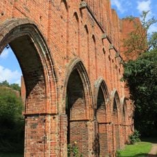
Kloster Hude
3.4 km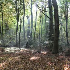
Hasbruch
3 km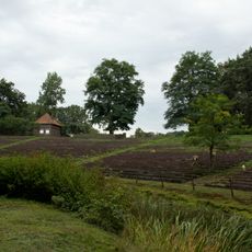
Stedingsehre
5.7 km
Friederikeneiche
3 km
Arboretum Neuenkoop
7 km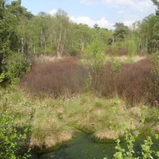
Holler- und Wittemoor
5.3 km
St.-Elisabeth
3.6 km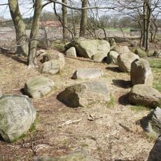
Megalithic stones of Steinkimmen
4.6 km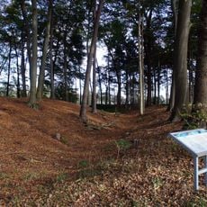
Heidenwall (Dehlthun)
7.4 km
Herrenhaus Von-Witzleben-Allee 1a
3.4 km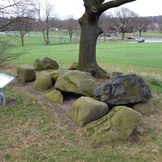
Großsteingrab Stenum
7.7 km
Skulpturenufer
1.9 km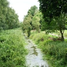
Nordenholzer Moor
4 km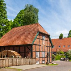
Klostermühle Hude
3.4 km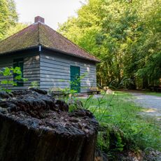
Jagdhütte Hasbruch
3.5 km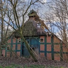
Wohn- und Wirtschaftsgebäude Zur Heide 11
6.4 km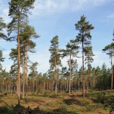
Bookholt, Plietenberger Moor
5.8 km
Hohenbökener Moor
6.5 km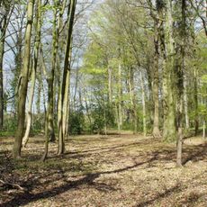
Großer und kleiner Baumhof
3.5 km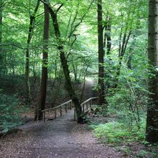
Stenumer Holz
7.8 km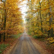
Reiherholz
3.4 km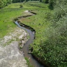
Staatsforst Hasbruch
3.5 km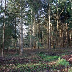
Feldmoor, Hurreler Sand, Klaushau
1.8 km
Dingsteder Gehäge, Twiestholz, Hatter Holz
7.9 km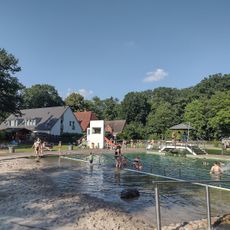
Waldschwimmbad (Naturbad) Hude
3.8 km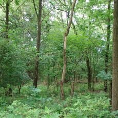
Korte Heide
7.6 km
Neuenlander Moor
7.7 km
Hasbruch
3.7 kmReviews
Visited this place? Tap the stars to rate it and share your experience / photos with the community! Try now! You can cancel it anytime.
Discover hidden gems everywhere you go!
From secret cafés to breathtaking viewpoints, skip the crowded tourist spots and find places that match your style. Our app makes it easy with voice search, smart filtering, route optimization, and insider tips from travelers worldwide. Download now for the complete mobile experience.

A unique approach to discovering new places❞
— Le Figaro
All the places worth exploring❞
— France Info
A tailor-made excursion in just a few clicks❞
— 20 Minutes