
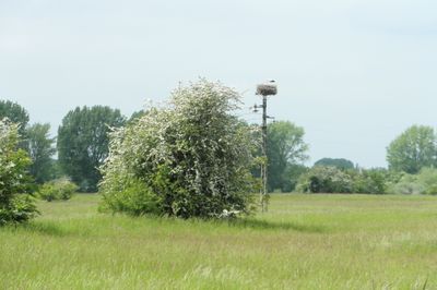
Obere Leine, protected landscape south of Hannover, Lower Saxony, Germany
Location: Hanover region
Inception: 2000
Part of: Obere Leine
GPS coordinates: 52.29770,9.77843
Latest update: March 4, 2025 00:28
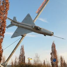
Aviation Museum Hannover-Laatzen
2.9 km
Park der Sinne
2.4 km
Skywalk
2.6 km
St. Oliver
2.8 km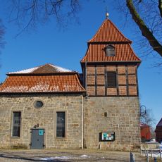
St.-Vitus-Kirche
2.2 km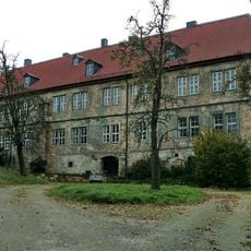
Amtshaus Koldingen
2.9 km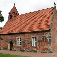
Gothic chapel in Laatzen
2 km
Burg Reden
1.9 km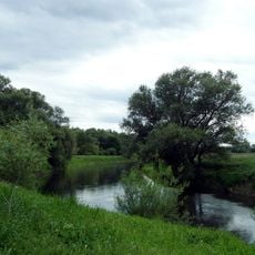
Leineaue zwischen Hannover und Ruthe
2.1 km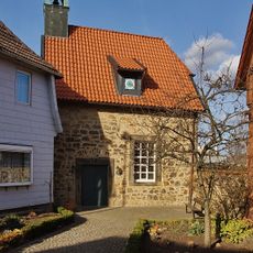
Kapelle Arnum
2.6 km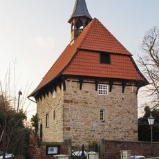
Kapelle Harkenbleck
1.1 km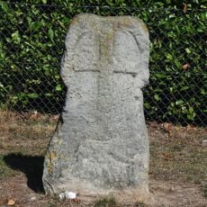
Siebstein
1.2 km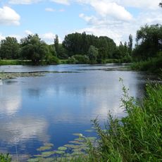
Alte Leine
506 m
Leineaue zwischen Hannover und Ruthe
2.1 km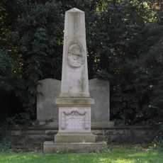
Gefallenen-Ehrenmal
2.2 km
Hildesheimer Straße 49
2.3 km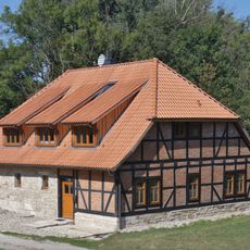
Wassermühle Koldingen
2.9 km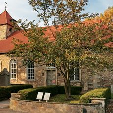
St.-Marien-Kirche
1.5 km
Immanuelkirche
1.9 km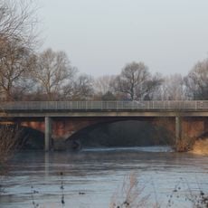
Leinebrücke Koldingen
3 km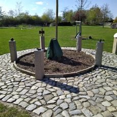
Sinnbiose
2.4 km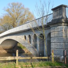
Triple arch bridge in Grasdorf
1.4 km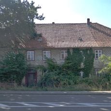
Wohnhaus, Rethener Straße 8
2.9 km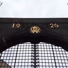
Entrance gate of the Wülfeler Brewery
3 km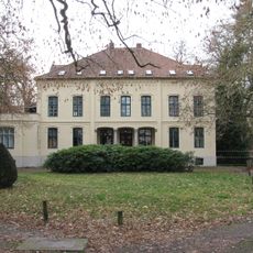
Manor house of the former manor Wülfel
2.9 km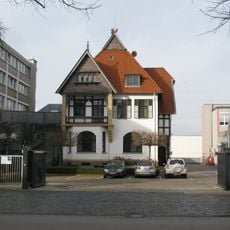
Am Brabrinke 2, Hannover
2.9 km
Hannover Messe - Hall 13
2.8 km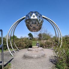
Insektenauge
2.4 kmVisited this place? Tap the stars to rate it and share your experience / photos with the community! Try now! You can cancel it anytime.
Discover hidden gems everywhere you go!
From secret cafés to breathtaking viewpoints, skip the crowded tourist spots and find places that match your style. Our app makes it easy with voice search, smart filtering, route optimization, and insider tips from travelers worldwide. Download now for the complete mobile experience.

A unique approach to discovering new places❞
— Le Figaro
All the places worth exploring❞
— France Info
A tailor-made excursion in just a few clicks❞
— 20 Minutes