
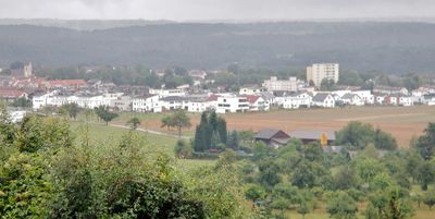
Hochberg, protected landscape area in Baden-Württemberg, Germany
Location: Böblingen district
Inception: 1993
GPS coordinates: 48.66260,9.04362
Latest update: March 3, 2025 13:02
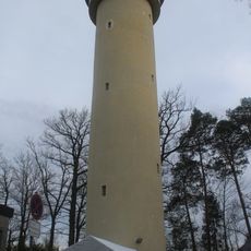
Böblingen water tower
2.9 km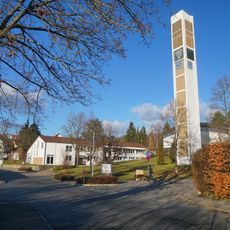
Martin-Luther-Kirche
2.8 km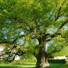
Linde am Steinbaß
1.8 km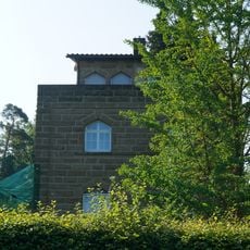
Künstlerhaus Fritz Steisslinger
1.8 km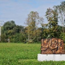
Wooden Psyche
2.4 km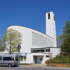
Sankt Klemens
2.5 km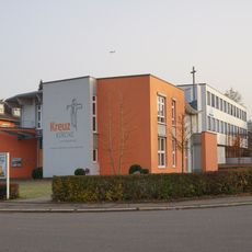
Kreuzkirche am Südbahnhof
2.8 km
Ohne Titel 2004
2.3 km
Wohnquartier Rauher Kapf
752 m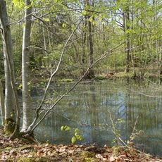
Feuchtbiotop Berstlacher Hau
2.7 km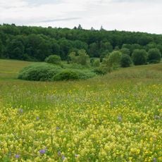
Feuchtbiotop Thomaried
2.5 km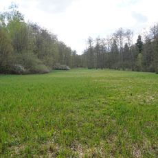
Feuchtbiotop Heuwegflosch
3 km
Eiche an der Tübinger Straße
2.8 km
Gansee
2.2 km
Eiche am Wasserberg
1.9 km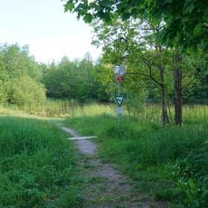
Teich und Seggenried Zimmerschlag
1.1 km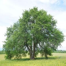
5-stämmiger Mostbirnbaum beim Thomaried
2.2 km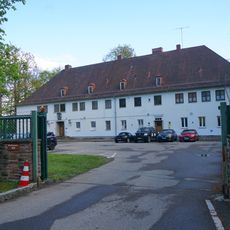
Waldburgstraße 3180
2.9 km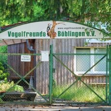
Vogelfreunde Böblingen
1.9 km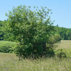
Salweide im Thomaried
2.3 km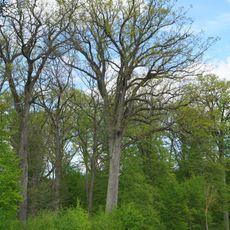
Starke Eiche Obere Elsenhalde
2.7 km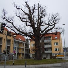
Eichele
1.3 km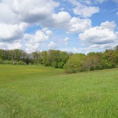
Pflanzenstandort Buchenklinge/Egerten
2.5 km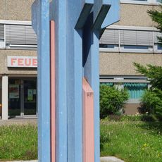
Feuer und Wasser
2.5 km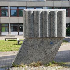
Ohne Titel 1976
2.3 km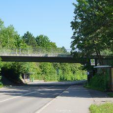
Brücke Schönbuchstraße über die Tübinger Straße Böblingen
2.7 km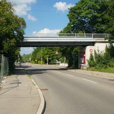
Brücke Schönbuchbahn über die Schönbuchstraße
2.4 km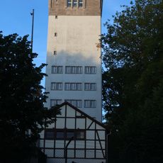
Wasserturm Böblingen 2
2.9 kmReviews
Visited this place? Tap the stars to rate it and share your experience / photos with the community! Try now! You can cancel it anytime.
Discover hidden gems everywhere you go!
From secret cafés to breathtaking viewpoints, skip the crowded tourist spots and find places that match your style. Our app makes it easy with voice search, smart filtering, route optimization, and insider tips from travelers worldwide. Download now for the complete mobile experience.

A unique approach to discovering new places❞
— Le Figaro
All the places worth exploring❞
— France Info
A tailor-made excursion in just a few clicks❞
— 20 Minutes