
Dammbachtal mit angrenzenden Höhenzügen, protected landscape area in Baden-Württemberg, Germany
Location: Landkreis Schwäbisch Hall
Inception: 1983
GPS coordinates: 49.04040,9.93889
Latest update: March 2, 2025 23:20

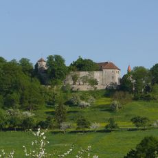
Tannenburg
1.6 km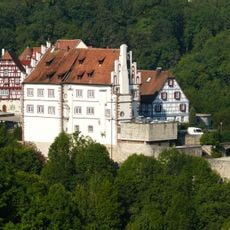
Unteres Schloss
6.7 km
Schloss Obersontheim
3.6 km
Wasserburg Kottspiel
3 km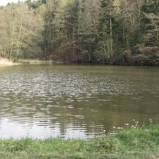
Burgstall Schenkensee
2.8 km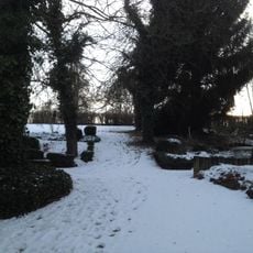
Alter Friedhof
3.5 km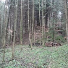
Burgstall Holenstein
2.6 km
Evangelische Pfarrkirche Obersontheim
3.5 km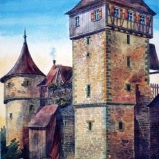
Pulverturm
6.7 km
Oberes Schloss
6.7 km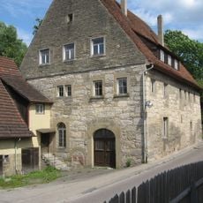
Herrenmühle
3.2 km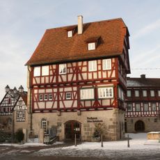
Altes Amtshaus
6.7 km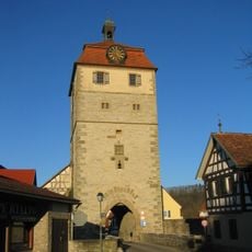
Torturm (Vellberg)
6.6 km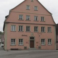
Rathaus
2.2 km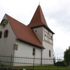
St. Dionysius (Spaichbühl)
5.1 km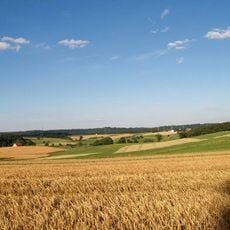
Oberes Bühlertal mit Nebentälern und angrenzenden Gebieten
6.1 km
Oberes Blinde Rot-Tal
5.2 km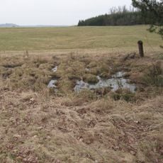
Feuchtgebiet mit Weidengehölz
4.7 km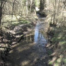
Oberes Blinde Rot-Tal
3.9 km
Bühlerprallhang in den Brunnenwiesen
3.9 km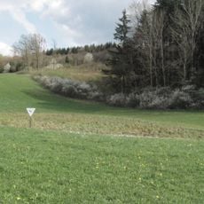
Feuchtgebiet Buchenschnäue
1.5 km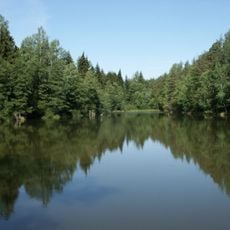
Treibsee
4.7 km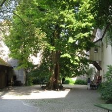
1 Sommerlinde "Sommerlinde auf der Tannenburg"
1.5 km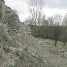
Stillgelegter Gipssteinbruch nordwestl.Bühlertann
3.1 km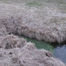
Quelle am Ernsbach
5 km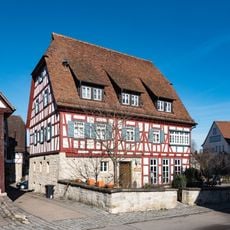
Wohnhaus im Städtle 11
6.7 km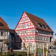
Haus Kammerer
6.7 km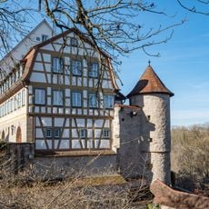
Haus Friedrich
6.7 kmReviews
Visited this place? Tap the stars to rate it and share your experience / photos with the community! Try now! You can cancel it anytime.
Discover hidden gems everywhere you go!
From secret cafés to breathtaking viewpoints, skip the crowded tourist spots and find places that match your style. Our app makes it easy with voice search, smart filtering, route optimization, and insider tips from travelers worldwide. Download now for the complete mobile experience.

A unique approach to discovering new places❞
— Le Figaro
All the places worth exploring❞
— France Info
A tailor-made excursion in just a few clicks❞
— 20 Minutes