
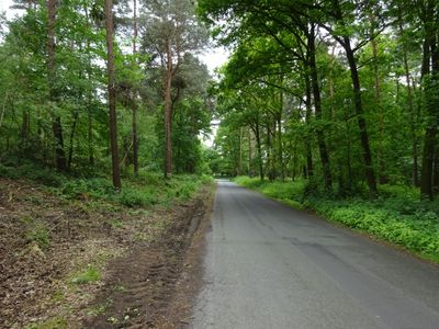
Landschaftsschutzgebiet VO Rees, Landschaftsschutzgebiet in Nordrhein-Westfalen
Location: Rees
Location: Emmerich am Rhein
Inception: 1972
GPS coordinates: 51.86120,6.19173
Latest update: March 2, 2025 23:11
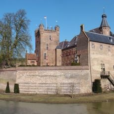
Huis Bergh
3.7 km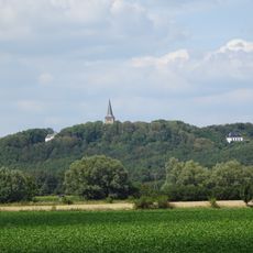
Eltenberg
1.4 km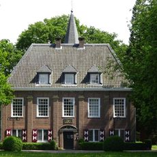
Schlößchen Borghees
1.9 km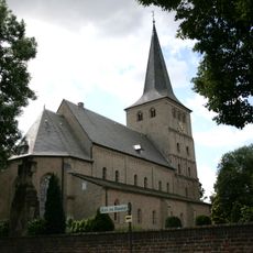
Elten
1.5 km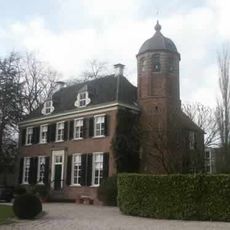
Boetselaersborg
3.8 km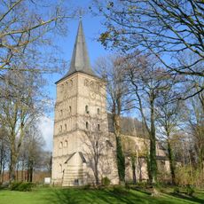
Stiftskirche St. Vitus
1.4 km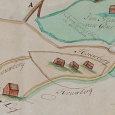
Houberg
3.8 km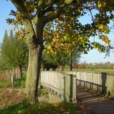
Lindhorstbrücke
2.6 km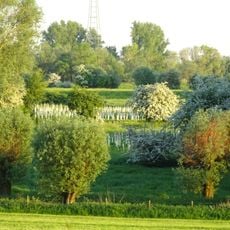
Emmericher Ward
2.8 km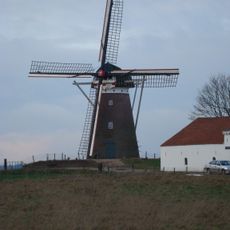
Düffels Möl
3.1 km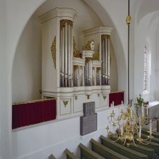
Sint-Pancras en Joriskerk
3.7 km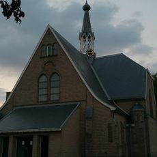
Sint-Suitbertuskerk
3 km
Huis Bergh
3.7 km
Die Moiedtjes
1.8 km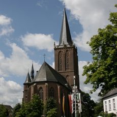
St. Martinus
2.6 km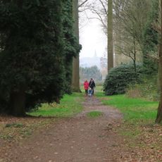
Garten von Huis Bergh
3.7 km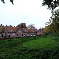
Muntwal 11, 's-Heerenberg
3.8 km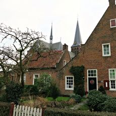
Muntwal 7, 's-Heerenberg
3.8 km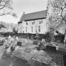
Muntwal 1, 's-Heerenberg
3.8 km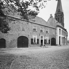
Hofstraat 8, 's-Heerenberg
3.8 km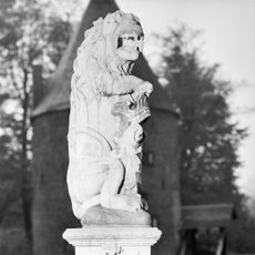
Wapenleeuwen op voorburcht bij Huis Bergh
3.7 km
Rijksmonument 515551
2.8 km
Wachthuis van de omwalling, herbouwd op de oude grondslagen. Tentdak
3.8 km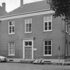
Deftig herenhuis met schuiframen en deur uit de bouwtijd
3.8 km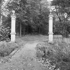
Zuilen bij Huis Bergh
3.7 km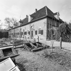
Dienstwoningen Huis Bergh
3.5 km
De Kaatsbaan
3.5 km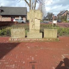
Oorlogsmonument
3.1 kmReviews
Visited this place? Tap the stars to rate it and share your experience / photos with the community! Try now! You can cancel it anytime.
Discover hidden gems everywhere you go!
From secret cafés to breathtaking viewpoints, skip the crowded tourist spots and find places that match your style. Our app makes it easy with voice search, smart filtering, route optimization, and insider tips from travelers worldwide. Download now for the complete mobile experience.

A unique approach to discovering new places❞
— Le Figaro
All the places worth exploring❞
— France Info
A tailor-made excursion in just a few clicks❞
— 20 Minutes