
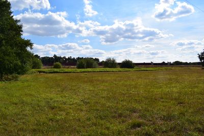
Landschaftsschutzgebiet Feuchtsenne, protected area in Germany
Location: Bielefeld
Inception: 1995
GPS coordinates: 51.94736,8.49080
Latest update: March 7, 2025 03:44
Christop 13
4.7 km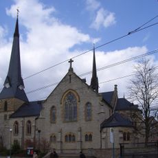
Bartholomäuskirche (Bielefeld)
4.9 km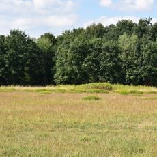
Rieselfelder Windel
1.6 km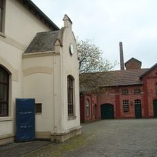
Brennerei Elmendorf
5.5 km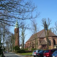
Herz-Jesu-Kirche
5.3 km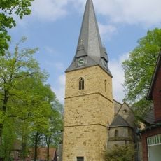
Evangelische Kirche Isselhorst
5.4 km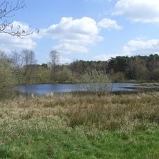
Kampeters Kolk
1.6 km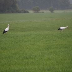
Große Wiese
3.7 km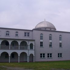
Vatan-Moschee
4.1 km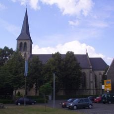
St. Friedrich
1.3 km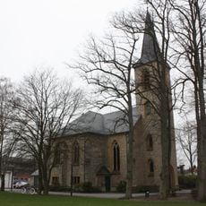
Johanneskirche
1.1 km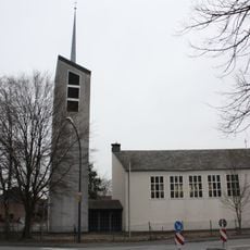
Christuskirche (Avenwedde)
3.2 km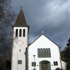
Herz Jesu
5.3 km
Villa Dopheide
5.4 km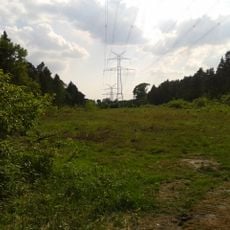
Südkamp
4.1 km
St. Judas Thaddäus
6.1 km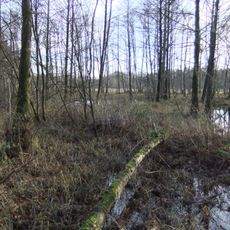
Feuchtwiesen Röhrmann
2.6 km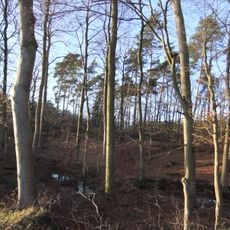
Reiher- und Röhrbach
911 m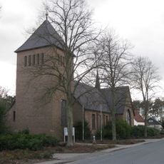
St. Michael
3.9 km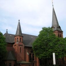
Evangelische Kirche Ummeln
3.4 km
St. Marien
3.3 km
Holtkämperei
5.3 km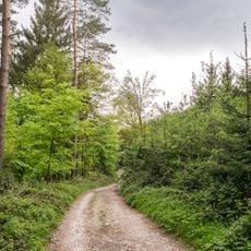
Östlicher Teutoburger Wald (LP Bielefeld-Senne)
5.5 km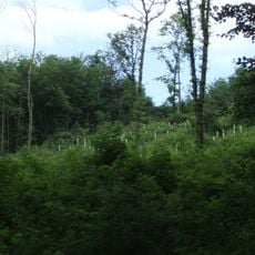
Östlicher Teutoburger Wald (LP Bielefeld-Ost)
5.7 km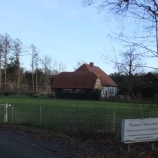
Museum Osthusschule
1.1 km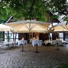
Museumshof Senne
4.1 km
Hasselbachaue
3 km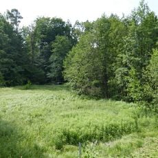
Schwarzes Venn
1.1 kmReviews
Visited this place? Tap the stars to rate it and share your experience / photos with the community! Try now! You can cancel it anytime.
Discover hidden gems everywhere you go!
From secret cafés to breathtaking viewpoints, skip the crowded tourist spots and find places that match your style. Our app makes it easy with voice search, smart filtering, route optimization, and insider tips from travelers worldwide. Download now for the complete mobile experience.

A unique approach to discovering new places❞
— Le Figaro
All the places worth exploring❞
— France Info
A tailor-made excursion in just a few clicks❞
— 20 Minutes