
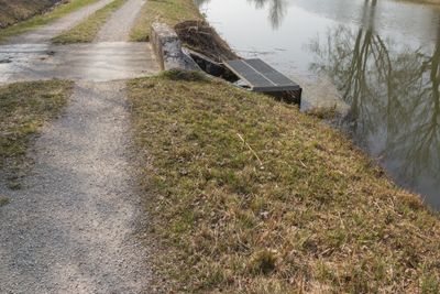
Grundablass bei Plankstetten, Grundablass im Landkreis Neumarkt in der Oberpfalz in Bayern
Location: Berching
Part of: Ludwig Canal
GPS coordinates: 49.06715,11.46267
Latest update: April 16, 2025 02:40
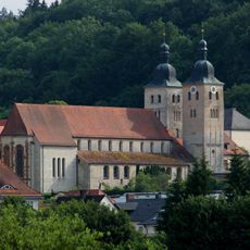
Plankstetten Abbey
664 m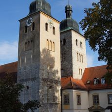
Abteikirche Mariä Himmelfahrt
662 m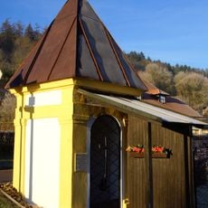
Wegkapelle zum Heiland im Kerker
950 m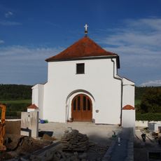
Cemetery chapel
803 m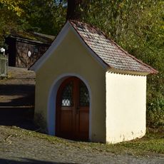
Wegkapelle Mariahilf
400 m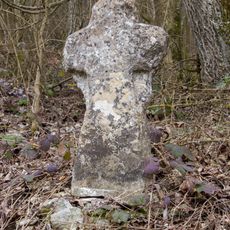
Steinkreuz (D-3-73-112-160)
972 m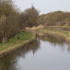
Abschnitt des Ludwig-Donau-Main-Kanals #10
724 m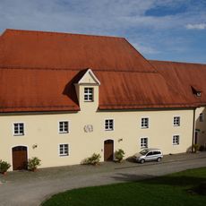
Klosterbrauerei Klosterplatz 1 in Berching
605 m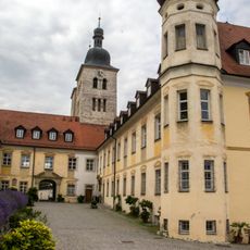
Cultural heritage D-3-6934-0027 in Berching
663 m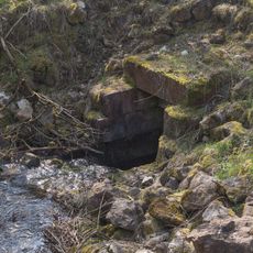
Kanalausleitung
648 m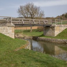
Brücke bei Biberbach
314 m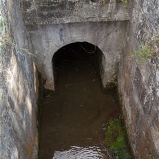
Creek culvert
13 m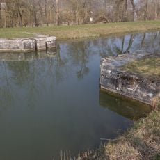
Canal safety lock near Plankstetten
167 m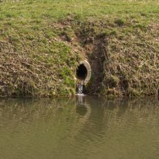
Bacheinlauf bei km 44 6
677 m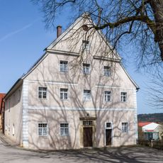
Amtshaus
781 m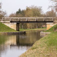
Brücke bei Plankstetten
407 m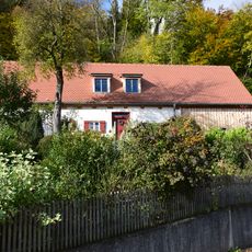
Ehemaliges Kleinbauernhaus
942 m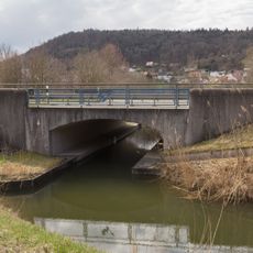
Brücke B299 bei km 44 9
991 m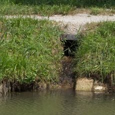
Bacheinleitung bei Plankstetten
8 m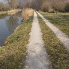
Bacheinlauf bei km 43 8
127 m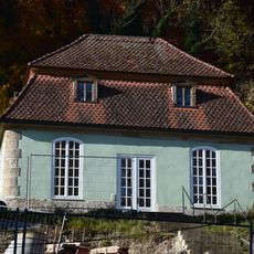
Gartenhaus Fribertshofener Straße 1 in Berching
739 m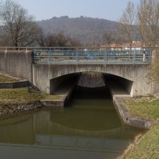
Brücke B299 bei km 44 1
195 m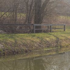
Creek culvert at km 44.2
298 m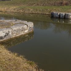
Kanalsperre bei km 44 8
904 m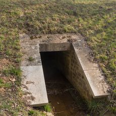
Bachdurchlass bei km 44 5
605 m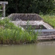
Zwangsentlastung bei Plankenstetten
7 m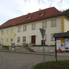
Klosterhospiz Klosterplatz 2-3
753 m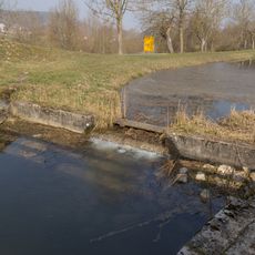
Sperrmauer bei km 43,6
308 mVisited this place? Tap the stars to rate it and share your experience / photos with the community! Try now! You can cancel it anytime.
Discover hidden gems everywhere you go!
From secret cafés to breathtaking viewpoints, skip the crowded tourist spots and find places that match your style. Our app makes it easy with voice search, smart filtering, route optimization, and insider tips from travelers worldwide. Download now for the complete mobile experience.

A unique approach to discovering new places❞
— Le Figaro
All the places worth exploring❞
— France Info
A tailor-made excursion in just a few clicks❞
— 20 Minutes