
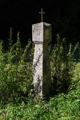
Bildstock im Klumpertal, Cultural heritage monument in Bavaria, Germany
Location: Pottenstein
Address: Winterleite 91278 91278
Website: http://suehnekreuz.de/bayern/wannberg.htm
GPS coordinates: 49.73433,11.44616
Latest update: April 3, 2025 08:25
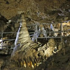
Devil's Cave
2.9 km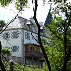
Schloss
2 km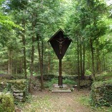
Wallfahrtskapelle
3.5 km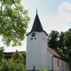
Saalkirche
2 km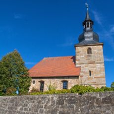
Evangelisch-lutherische Pfarrkirche
1.6 km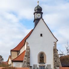
St. Johannes der Täufer
3.4 km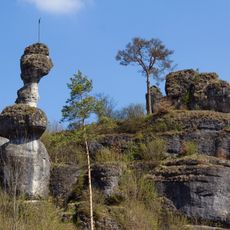
Weiherstaler Männchen bei Schüttersmühle
2.4 km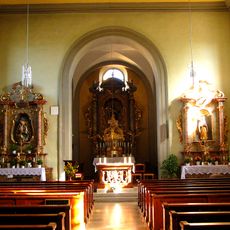
Chorturmkirche
2 km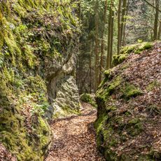
Jägersteig
1.7 km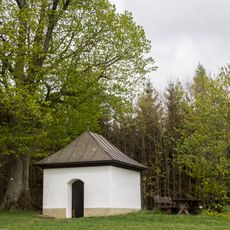
Feldkapelle
2.7 km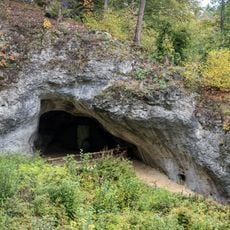
Bodendenkmal in Pottenstein (Oberfranken), #D-4-6234-0096
3 km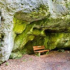
Cultural heritage D-4-6234-0075 in Pottenstein (Oberfranken)
2.1 km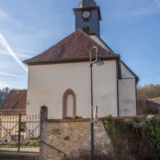
Cultural heritage D-4-6234-0199 in Betzenstein
4.1 km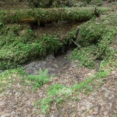
Ponordoline ESE von Weidensees
3.7 km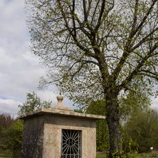
Feldkapelle
4 km
Ehemaliges Schulhaus
4.1 km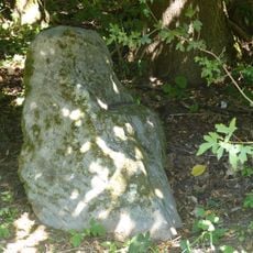
Four boundary stones
3.3 km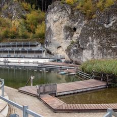
Freibad
3.9 km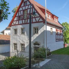
Wohnhaus
2 km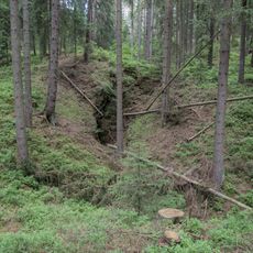
Doline mit Diebskeller (D214) SE von Bronn
3.7 km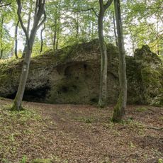
Dolomitfels mit Höhle Alter Keller (D241) W von Neudorf
4.1 km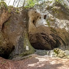
Großes Hasenloch (D92) ESE von Pottenstein
3.9 km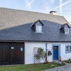
Wohnstallhaus Hüll 13
4.1 km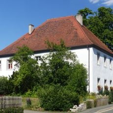
Cultural heritage D-4-72-118-56 in Betzenstein
2.7 km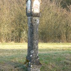
Bildstock
4 km
Kleine Teufelshöhle
3 km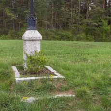
Feldkreuz
2.8 km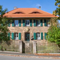
Pfarrhaus
1.6 kmReviews
Visited this place? Tap the stars to rate it and share your experience / photos with the community! Try now! You can cancel it anytime.
Discover hidden gems everywhere you go!
From secret cafés to breathtaking viewpoints, skip the crowded tourist spots and find places that match your style. Our app makes it easy with voice search, smart filtering, route optimization, and insider tips from travelers worldwide. Download now for the complete mobile experience.

A unique approach to discovering new places❞
— Le Figaro
All the places worth exploring❞
— France Info
A tailor-made excursion in just a few clicks❞
— 20 Minutes