
Gipfelbereich Silberberg SE von Bodenmais, Geotop in Landkreis Regen in Bavaria, Germany
Location: Bodenmais
Elevation above the sea: 965 m
Length: 300 m
Width: 200 m
GPS coordinates: 49.05738,13.12436
Latest update: April 7, 2025 23:52
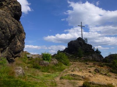
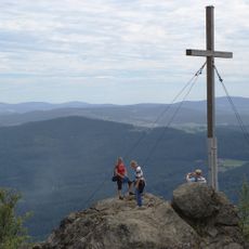
Silberberg bei Bodenmais
27 m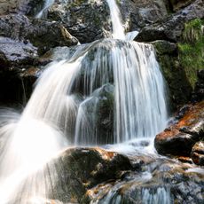
Rieslochfälle
3.5 km
Hennenkobel
4.4 km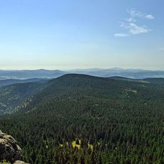
Mittagsplatzl
4.2 km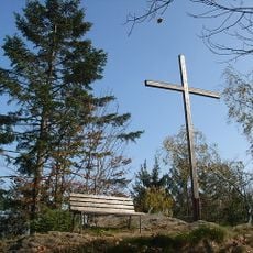
Kronberg
2.7 km
Märchenalm
3.8 km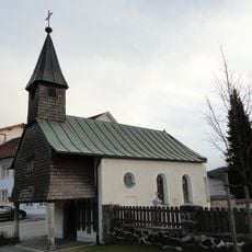
Katholische Friedhofskapelle St. Johannes der Täufer
2.4 km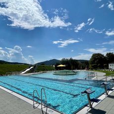
Silberberg-Freibad
2.3 km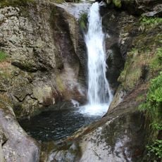
Hochfall im Moosbachtal
4.4 km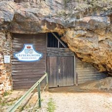
Silberberg Mine
229 m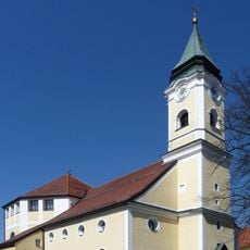
Katholische Pfarrkirche Mariä Himmelfahrt
2.1 km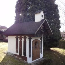
Stöberlkapelle
1.7 km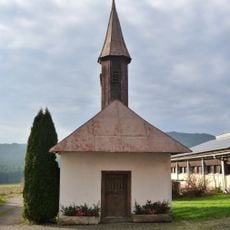
Kapelle
3.3 km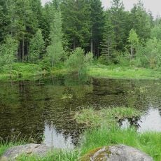
Kiesau
3.7 km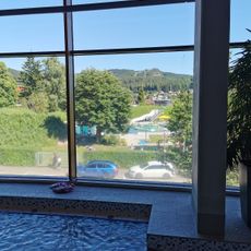
Silberberg-Hallenbad
2.4 km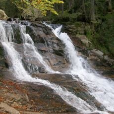
Riesloch
3.4 km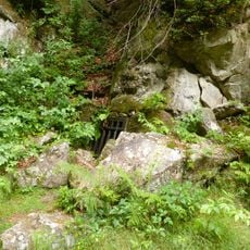
Pegmatitgrube am Hennenkobel
3.4 km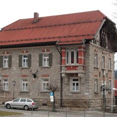
Forstamt Bodenmais
2.1 km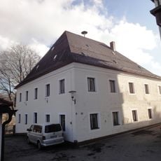
Bergamt
2 km
Wohnhaus
1.7 km
Ehemaliges Rathaus
1.9 km
"Altes E-Werk"
2.2 km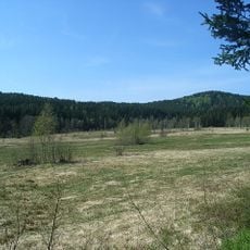
Moore westlich Zwiesel
4.3 km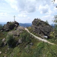
Silberberg (BY)
1 km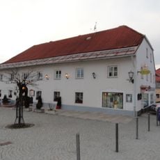
Wirtshaus
2.1 km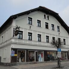
Giebelhaus
2.1 km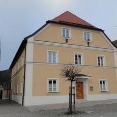
Pfarrhaus
2.1 km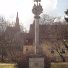
Dreifaltigkeitssäule
1.8 kmReviews
Visited this place? Tap the stars to rate it and share your experience / photos with the community! Try now! You can cancel it anytime.
Discover hidden gems everywhere you go!
From secret cafés to breathtaking viewpoints, skip the crowded tourist spots and find places that match your style. Our app makes it easy with voice search, smart filtering, route optimization, and insider tips from travelers worldwide. Download now for the complete mobile experience.

A unique approach to discovering new places❞
— Le Figaro
All the places worth exploring❞
— France Info
A tailor-made excursion in just a few clicks❞
— 20 Minutes