
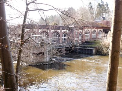
Hydroelectric power station Schwentine II
Hydroelectric power station Schwentine II, hydroelectric power station on the Schwentine river in germany
Location: Schwentinental
Inception: 1909
Address: An der Schwentine
GPS coordinates: 54.28798,10.24812
Latest update: March 12, 2025 14:39
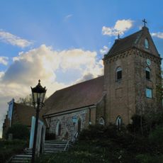
Saint Mary Church
5.4 km
Gut Rastorf
3.3 km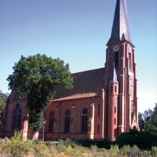
Maria-Magdalenen-Church
4.7 km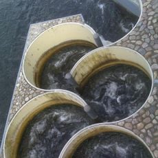
Meander fish passes
37 m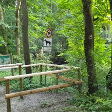
Altarm der Schwentine
1.3 km
Gedenkstätte bei Voßberg
5.2 km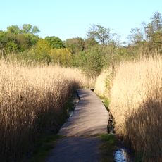
Tröndelsee und Umgebung
5.3 km
Klosterforst Preetz
3.9 km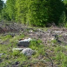
Großsteingrab Dobersdorf 3
3.6 km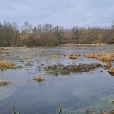
Moorweiher bei Rastorf
3.3 km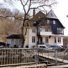
Howaldt’sche Villa
752 m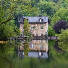
Dobersdorfer See, Passader See mit dem Oberlauf der Hagener Au, Kasseteiche und Umgebung
1.2 km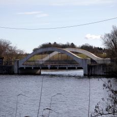
Weiße Brücke
1.1 km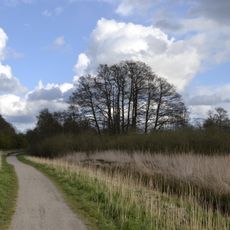
Langsee, Kuckucksberg und Umgebung
4.4 km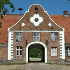
Gut Rastorf: Torhaus
3.2 km
Ehem. Försterei
2.8 km
Schloß Bredeneek
4.4 km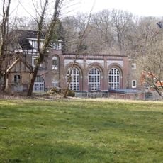
Hydropower plant Schwentine I
869 m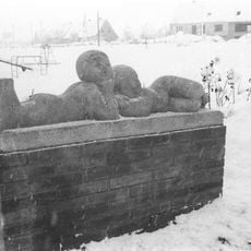
Lying children
3.6 km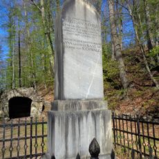
Gedenkstein auf Gut Rastorf
2.8 km
Ehem. Krug „Blauer Löwe“
2.7 km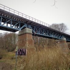
Schwentine railway bridge
4.9 km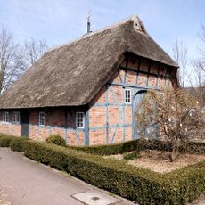
Bahnhofstraße 1
783 m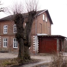
Inspektorenwohnhaus
3.1 km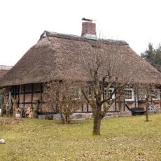
Arbeiterwohnhaus Lange Reihe 10
2.9 km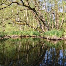
Untere Schwentine
770 m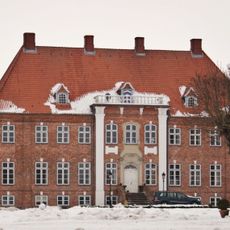
Gut Dobersdorf: Herrenhaus
4.7 km
Am Dorfteich 5a
5.3 kmReviews
Visited this place? Tap the stars to rate it and share your experience / photos with the community! Try now! You can cancel it anytime.
Discover hidden gems everywhere you go!
From secret cafés to breathtaking viewpoints, skip the crowded tourist spots and find places that match your style. Our app makes it easy with voice search, smart filtering, route optimization, and insider tips from travelers worldwide. Download now for the complete mobile experience.

A unique approach to discovering new places❞
— Le Figaro
All the places worth exploring❞
— France Info
A tailor-made excursion in just a few clicks❞
— 20 Minutes