
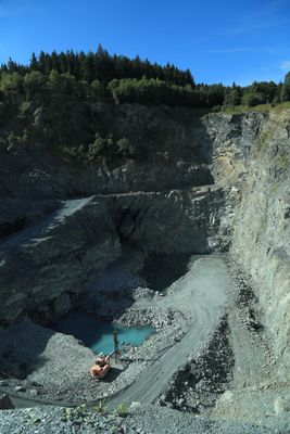
Diabasbruch SE von Ottendorf, Geotop in Landkreis Kronach in Bavaria, Germany
Location: Ludwigsstadt
Elevation above the sea: 500 m
Length: 500 m
Width: 200 m
GPS coordinates: 50.48119,11.41485
Latest update: March 19, 2025 07:50
Museum Technisches Denkmal Lehesten
2.6 km
Trogenbachbrücke
2 km
Michaeliskirche
1.9 km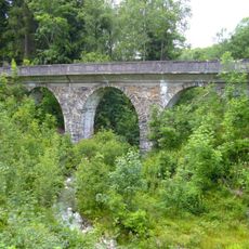
Bahnbrücke
2 km
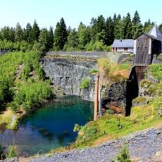
Staatsbruch
2.8 km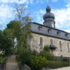
St. Agathen (Lehesten)
2.5 km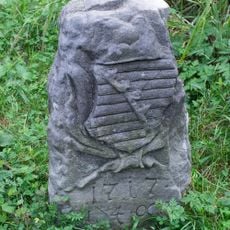
Baudenkmal
4.2 km
Rathaus
1.9 km
Pfarrkirche
3 km
St. Franziskus
2.6 km
Oertels Dachschieferbruch
3 km
Kapelle
2 km
Apotheke
1.9 km
Grenzstein
3.9 km
Amtsgericht
1.9 km
Krankenhaus
2.2 km
Gasthaus Kupferhammer
3.8 km
Steinbach an der Haide 2
2.8 km
Gasthaus
2.9 km
Cultural heritage D-4-76-152-11 in Ludwigsstadt
1.9 km
Schloss
1.9 km
Wohnhaus
2.6 km
Bahnbrücke
2 km
Cultural heritage D-4-76-152-43 in Ludwigsstadt
1.9 km
Pfarrhaus
1.8 km
Cultural heritage D-4-76-152-4 in Ludwigsstadt
1.6 km
Baudenkmal
1.8 km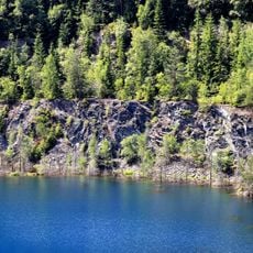
Schieferbrüche um Lehesten
2.8 kmReviews
Visited this place? Tap the stars to rate it and share your experience / photos with the community! Try now! You can cancel it anytime.
Discover hidden gems everywhere you go!
From secret cafés to breathtaking viewpoints, skip the crowded tourist spots and find places that match your style. Our app makes it easy with voice search, smart filtering, route optimization, and insider tips from travelers worldwide. Download now for the complete mobile experience.

A unique approach to discovering new places❞
— Le Figaro
All the places worth exploring❞
— France Info
A tailor-made excursion in just a few clicks❞
— 20 Minutes