
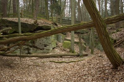
Ehem. Sandsteinbrüche am Hinteren Giesberg E von Dechsendorf, Geotop in Landkreis Erlangen-Höchstadt in Bavaria, Germany
Location: Mark
Elevation above the sea: 314 m
Length: 500 m
Width: 500 m
GPS coordinates: 49.62860,10.96199
Latest update: April 7, 2025 21:30

Langer Johann
3 km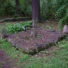
Kosbacher Altar
2.9 km
St. Oswald und Martin
3.1 km
Marienkapelle
1.6 km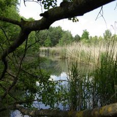
Dechsendorfer Weihergebiet
1.4 km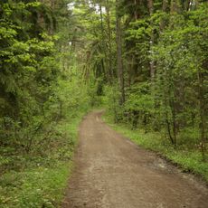
Mönau
2.9 km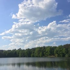
Steinforstgraben mit Kosbacher Weihern und Dauerwaldstreifen östlich des Main-Donau-Kanals
3.1 km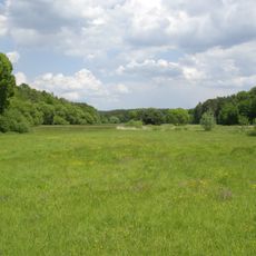
Seebachgrund
1.2 km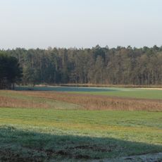
Moorbachtal
2.5 km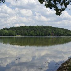
Schutz von Landschaftsteilen im Gebiet des Landkreises Höchstadt an der Aisch, LSG Großdechsendorfer Weihergebiet
2 km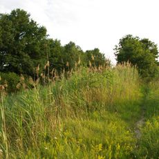
Erdbauten des Ludwig-Donau-Main-Kanals #26
2.9 km
Hausfigur
1.7 km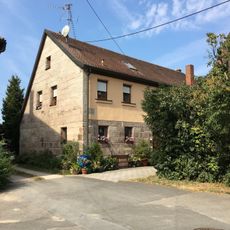
Bauernhof
3.1 km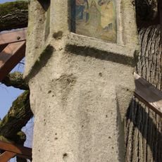
Bildstock Dorfmitte (Dechsendorf)
1.6 km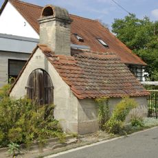
Backofen
1.5 km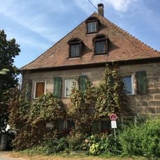
Ehemaliger Herrensitz
3 km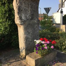
Marter
2.8 km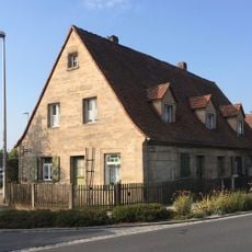
Eingeschossiger Wohnstallbau
3 km
Wegkreuz Dorfmitte
1.6 km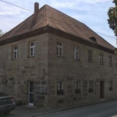
Ehemaliges Verwalterhaus
3.1 km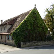
Röttenbacher Straße 6
1.7 km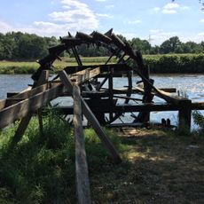
Altes Schäferrad
3 km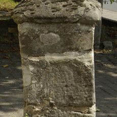
Hofeinfahrt
1.7 km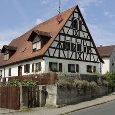
Bauernhaus
1.6 km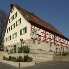
Gasthof
1.6 km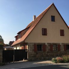
Sandsteinquaderbau
3.1 km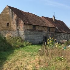
Kleinbauernhaus
3 km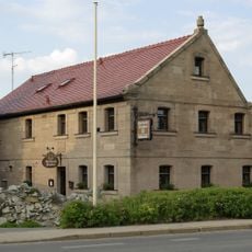
Bauernhaus
1.6 kmReviews
Visited this place? Tap the stars to rate it and share your experience / photos with the community! Try now! You can cancel it anytime.
Discover hidden gems everywhere you go!
From secret cafés to breathtaking viewpoints, skip the crowded tourist spots and find places that match your style. Our app makes it easy with voice search, smart filtering, route optimization, and insider tips from travelers worldwide. Download now for the complete mobile experience.

A unique approach to discovering new places❞
— Le Figaro
All the places worth exploring❞
— France Info
A tailor-made excursion in just a few clicks❞
— 20 Minutes