
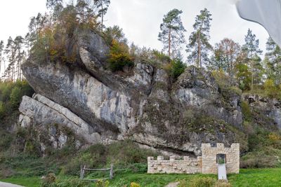
Blechstein SW von Obertrubach, Geotop in Landkreis Forchheim in Bavaria, Germany
Location: Obertrubach
Elevation above the sea: 460 m
Length: 90 m
Width: 50 m
GPS coordinates: 49.69185,11.34139
Latest update: March 3, 2025 02:46
Burgruine
2.8 km
Bärnfels Castle
2.5 km
Burgruine Wolfsberg
2.2 km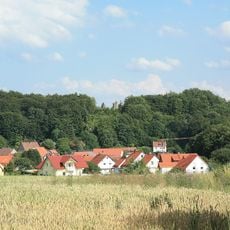
Burgruine Stierberg
3.7 km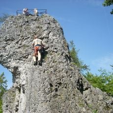
Signalstein
2.9 km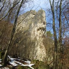
Zehnerstein
2.8 km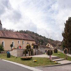
St. Felicitas
3.7 km
St. Laurentius
736 m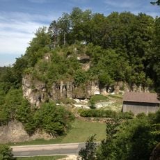
Burgstall Leupoldstein
3.3 km
Burgstall Leuenstein
3.6 km
Mühle
658 m
Rathaus
605 m
Ortskapelle
2.9 km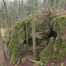
Dolomitfels mit Höhle Steinkirche (D80) E von Leienfels
3.1 km
Kreuz
3.1 km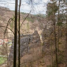
Dohlenstein S von Wolfsberg
2.1 km
Cultural heritage D-4-6334-0075 in Betzenstein
3.7 km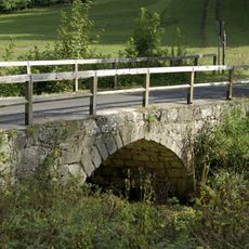
Steinbrücke
469 m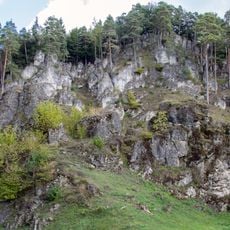
Felsgruppe Alte Küche N von Obertrubach
914 m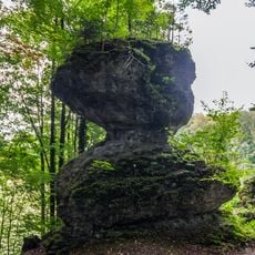
Knopfstein S von Bärnfels
2.4 km
Hirtenhaus
1.2 km
Mühle
222 m
Gasthaus
2 km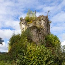
Bärnfelsen in Bärnfels
2.5 km
Backhaus
1.7 km
Vogtei
3.7 km
Cultural heritage D-4-6234-0188 in Obertrubach
2.5 km
Maria Schnee
2.4 kmReviews
Visited this place? Tap the stars to rate it and share your experience / photos with the community! Try now! You can cancel it anytime.
Discover hidden gems everywhere you go!
From secret cafés to breathtaking viewpoints, skip the crowded tourist spots and find places that match your style. Our app makes it easy with voice search, smart filtering, route optimization, and insider tips from travelers worldwide. Download now for the complete mobile experience.

A unique approach to discovering new places❞
— Le Figaro
All the places worth exploring❞
— France Info
A tailor-made excursion in just a few clicks❞
— 20 Minutes