
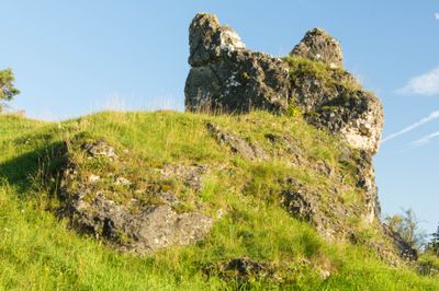
Felsen S von Rehau, Geotop in Landkreis Donau-Ries in Bavaria, Germany
Location: Monheim
Elevation above the sea: 540 m
Length: 80 m
Width: 35 m
GPS coordinates: 48.87934,10.84879
Latest update: March 8, 2025 15:36

Monheim Town Hall
4.1 km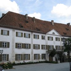
Schloss Monheim
4.1 km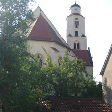
St. Walburga
4.3 km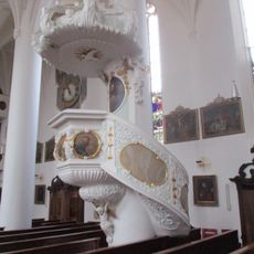
Kanzel
4.3 km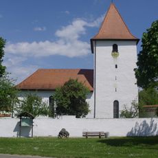
St. Laurentius
4.9 km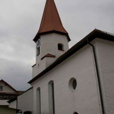
St. Trinitatis
3.8 km
Pulpit of Mariä Himmelfahrt
5.4 km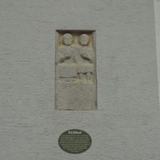
Eingelassener römischer Grabstein
5.2 km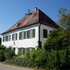
Pfarrhaus
5.5 km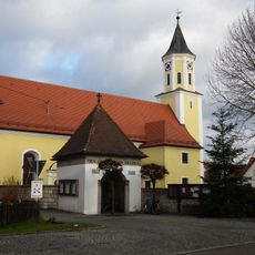
St. Richard
3.3 km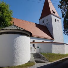
Mariä Himmelfahrt
5.4 km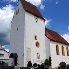
St. Luzia und Ottilia
1.6 km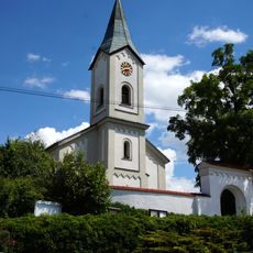
St. Emmeram
4.3 km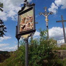
Kalvarienberg
4.2 km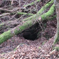
Pumperhöhle
1.4 km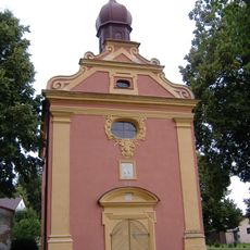
Schloßkapelle Mater dolorosa
3.9 km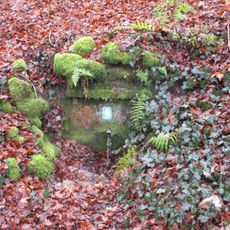
Distelbrünnle
1.9 km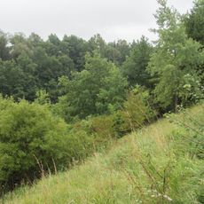
Bahneinschnitt NNW von Weilheim
2.1 km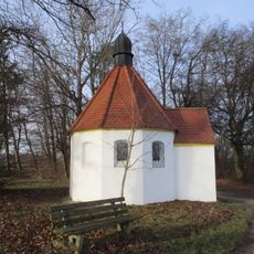
Brandkapelle Monheim
5.1 km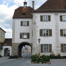
Stadttor, Unteres oder Weißenburger Tor
4.1 km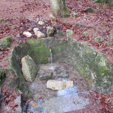
Abtissenbrünnle
3.1 km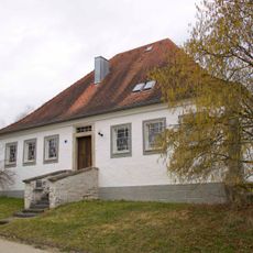
Ehemaliges pfalzbayerisches Zoll-, Maut- und Zollwirtshaus
2.6 km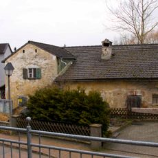
Ehemalige Dorfschmiede
3.8 km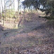
Doline near Otting
4.4 km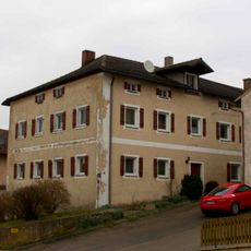
Ehemaliges Brauereigasthaus
3.8 km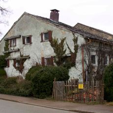
Kleiner Bauernhof
3.8 km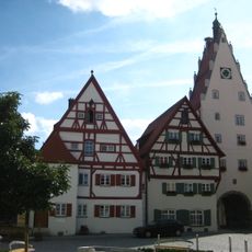
Stadttor, Oberes oder Donauwörther Tor
4.2 km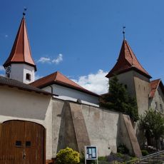
Friedhofsmauer Dorfstraße 29 in Langenaltheim
3.8 kmReviews
Visited this place? Tap the stars to rate it and share your experience / photos with the community! Try now! You can cancel it anytime.
Discover hidden gems everywhere you go!
From secret cafés to breathtaking viewpoints, skip the crowded tourist spots and find places that match your style. Our app makes it easy with voice search, smart filtering, route optimization, and insider tips from travelers worldwide. Download now for the complete mobile experience.

A unique approach to discovering new places❞
— Le Figaro
All the places worth exploring❞
— France Info
A tailor-made excursion in just a few clicks❞
— 20 Minutes