
Bachsystem der Streu mit Nebengewässern, protected area in the European Union defined by the habitats directive in Bayern, Germany
Location: Rhön-Grabfeld
Inception: 2004
GPS coordinates: 50.44903,10.17865
Latest update: March 29, 2025 05:09
Schwarzes Moor in der Rhön
10.8 km
Mühlenweg 25
9 km
Rother Kuppe
6.5 km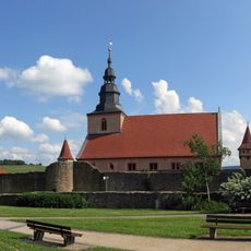
Kirchenburg Ostheim
3.9 km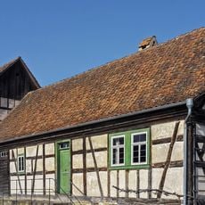
Fränkisches Freilandmuseum Fladungen
8.3 km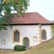
Kapelle
8.9 km
Gangolfsberg
6.8 km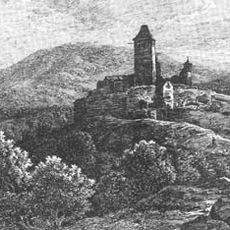
Ruine Lichtenburg
4.8 km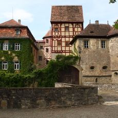
Schloss
9.7 km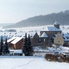
Wechterswinkel Abbey
7.5 km
Hildenburg
7.3 km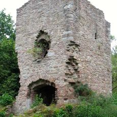
Ruine Mauerschädel
8.5 km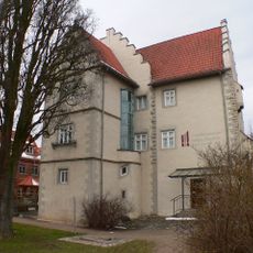
Orgelbaumuseum Schloss Hanstein
4.1 km
Wallanlage Gangolfsberg
6.7 km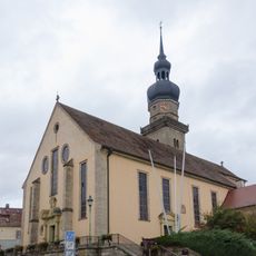
Pfarrkirche
9.1 km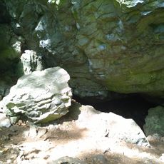
Teufelskeller
6.8 km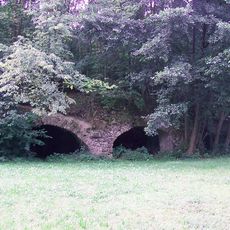
Burgruine
11.4 km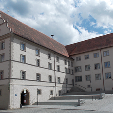
Rhönmuseum
8.2 km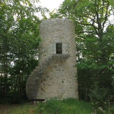
Ostheimer Warte
1.1 km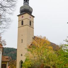
Kirche
6.6 km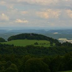
Ilmenberg
8 km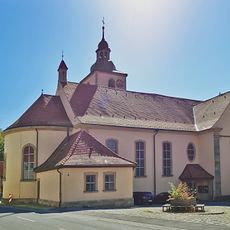
Pfarrkirche
9 km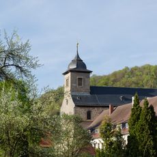
Basilika
7.5 km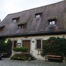
Fronhof
9 km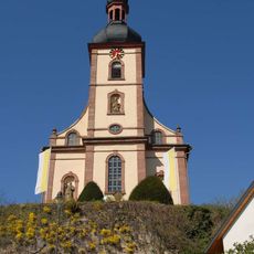
Pfarrkirche
4.3 km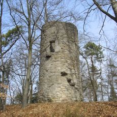
Turm
7.3 km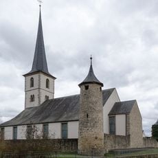
Pfarrkirche
12 km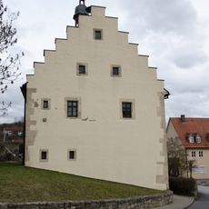
Pfarrkirche
13.2 kmReviews
Visited this place? Tap the stars to rate it and share your experience / photos with the community! Try now! You can cancel it anytime.
Discover hidden gems everywhere you go!
From secret cafés to breathtaking viewpoints, skip the crowded tourist spots and find places that match your style. Our app makes it easy with voice search, smart filtering, route optimization, and insider tips from travelers worldwide. Download now for the complete mobile experience.

A unique approach to discovering new places❞
— Le Figaro
All the places worth exploring❞
— France Info
A tailor-made excursion in just a few clicks❞
— 20 Minutes