
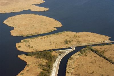
Ostfriesische Meere, special protection areas in Niedersachsen, Germany
Location: Aurich
Inception: June 2001
GPS coordinates: 53.43070,7.35311
Latest update: March 3, 2025 03:06

Upstalsboom
5.5 km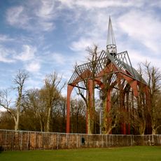
Kloster Ihlow
7.7 km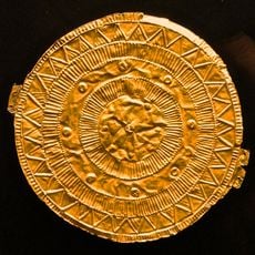
Goldscheibe von Moordorf
5.2 km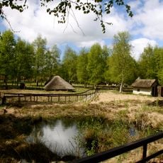
Moormuseum Moordorf
6.9 km
St. Johannes der Täufer
6.8 km
Bangstede Church
3.3 km
Riepster Kirche
3.7 km
St. Martin
4.4 km
Lutherische Kirche
2.1 km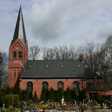
Martin-Luther-Kirche
5.9 km
Ihlowerfehn Church
6.5 km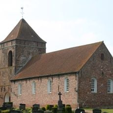
Bedekaspel Church (Südbrookmerland)
2.9 km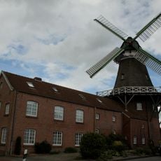
Mühle Wiegboldsbur
2.9 km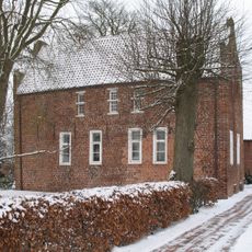
Pfarrhaus (Engerhafe)
6.9 km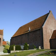
Simonswoldmer Kirche
7.3 km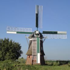
Wasserschöpfmühle Agnes
3.6 km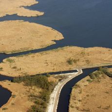
Großes Meer, Loppersumer Meer
4 km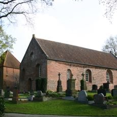
Ochtelbur Church (Ihlow/Ostfriesland)
2.6 km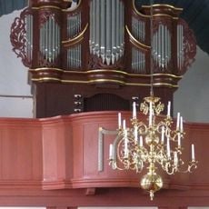
Barsteder Kirche
949 m
Großes Meer und Umgebung (Landkreis Aurich)
4.8 km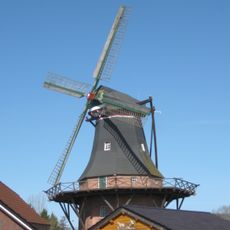
Haxtumer Mühle
7.5 km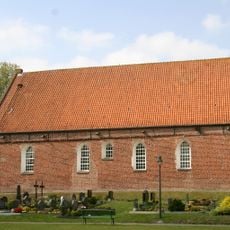
Wibadi-Kirche (Wiegboldsbur)
2.4 km
Upstalsboom und Umgebung
5.8 km
Südteil Großes Meer
3.9 km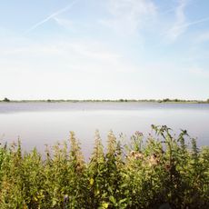
Bansmeer und Umgebung
7.7 km
Großes Meer, Loppersumer Meer
4.1 km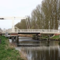
Haxtum bridge
7.7 km
Ihlow
7.1 kmVisited this place? Tap the stars to rate it and share your experience / photos with the community! Try now! You can cancel it anytime.
Discover hidden gems everywhere you go!
From secret cafés to breathtaking viewpoints, skip the crowded tourist spots and find places that match your style. Our app makes it easy with voice search, smart filtering, route optimization, and insider tips from travelers worldwide. Download now for the complete mobile experience.

A unique approach to discovering new places❞
— Le Figaro
All the places worth exploring❞
— France Info
A tailor-made excursion in just a few clicks❞
— 20 Minutes