
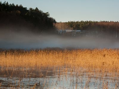
Mittleres Aurach-Tal von Priesendorf bis Walsdorf, protected area in the European Union defined by the habitats directive in Bayern, Germany
Location: Bamberg
Inception: 2000
GPS coordinates: 49.89200,10.73419
Latest update: March 10, 2025 12:16
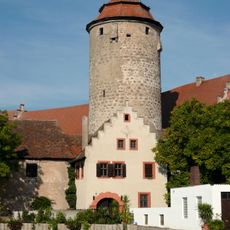
Burg
1 km
Jüdisch
3.6 km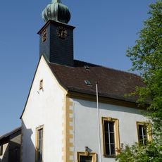
Evangelische
630 m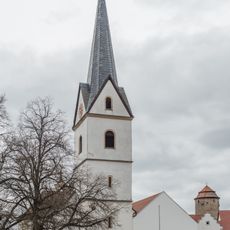
Kirche
1.1 km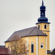
Pfarrkirche
4.1 km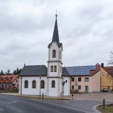
Kirche
2.1 km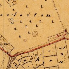
Turmhügel Seeleiten
2.7 km
Jewish ceremonial hall in Walsdorf
3.6 km
Filialkirche
3.1 km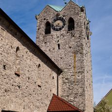
Kirche
2.3 km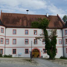
Schloss
628 m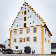
Schloss
4.2 km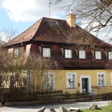
Verwalterhaus
1.1 km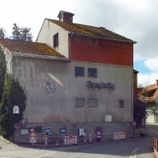
Brauerei
961 m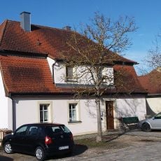
Verwalterhaus
1.1 km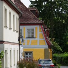
Cultural heritage D-4-71-208-18 in Walsdorf (Oberfranken)
4.2 km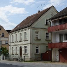
Wohnhaus
4.1 km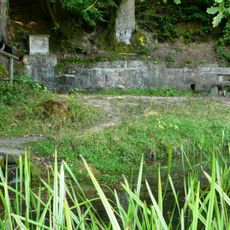
Brunnen
3.9 km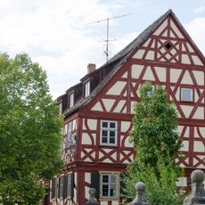
Gasthaus
4.2 km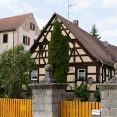
Bauernhaus
4.2 km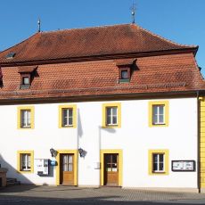
Verwalterhaus
1.2 km
Wohnhaus
880 m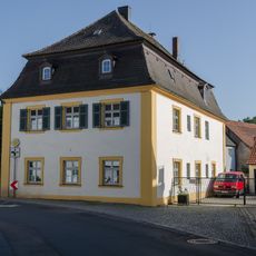
Pfarrhaus
720 m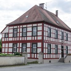
Forstamt
4.2 km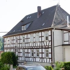
Bauernhaus
654 m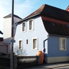
Bauernhaus
1.2 km
Friedhofskreuz
4.1 km
Bauernhaus
668 mReviews
Visited this place? Tap the stars to rate it and share your experience / photos with the community! Try now! You can cancel it anytime.
Discover hidden gems everywhere you go!
From secret cafés to breathtaking viewpoints, skip the crowded tourist spots and find places that match your style. Our app makes it easy with voice search, smart filtering, route optimization, and insider tips from travelers worldwide. Download now for the complete mobile experience.

A unique approach to discovering new places❞
— Le Figaro
All the places worth exploring❞
— France Info
A tailor-made excursion in just a few clicks❞
— 20 Minutes