
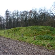
Wilsumer Moor, protected landscape in Lower Saxony, Germany
Location: County of Bentheim
Inception: 1982
GPS coordinates: 52.54850,6.77975
Latest update: April 7, 2025 15:34

Dolmen of Mander
11 km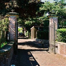
Huis Gramsbergen
10 km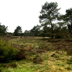
Itterbecker Heide
3.8 km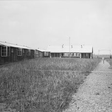
Kamp Balderhaar
6.5 km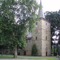
Reformed Church
7.9 km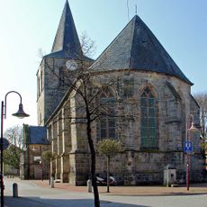
Evangelisch Reformierte Kirche Uelsen
9.4 km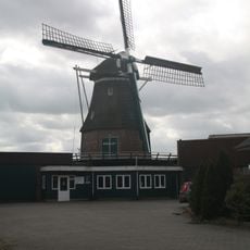
Windlust
6.2 km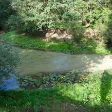
Vechte-Altarm Kalle
10.1 km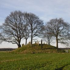
Jodenbergje, Hardenberg
10.9 km
Town hall of Hardenberg
11.4 km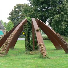
Verzameling Retour
9.8 km
Wortlos
7.8 km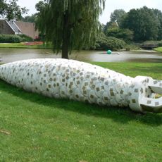
Cuckoo Clock Weight
10.1 km
Höftekerk
11.3 km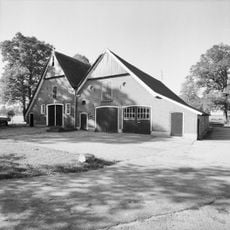
Hardenbergerweg 23, Loozen
9.5 km
Kerkorgel Höftekerk
11.3 km
Gealllieerd erehof
10.5 km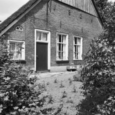
De Wasse
8.6 km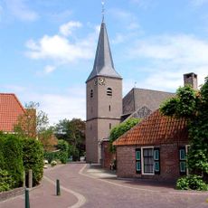
Nederlands Hervormde Kerk, Gramsbergen
10 km
De Wilp
9.6 km
Hekpijlers Huis Gramsbergen
10 km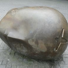
Sculptural Group
10.9 km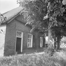
Katerstede Katgerrits
8.3 km
Pand onder afgewolfd zadeldak, met luiken behangen zesruitsvensters. ''De Tapperijen van de Steensteeg''
10.1 km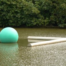
Spatial cubist drawing
10.1 km
Pand onder een aan de achterzijde afgewolfd zadeldak. Voorgevel met houten topschild en zesruitsschuifvensters, met luiken behangen. ''De Tapperijen van de Steensteeg''
10.1 km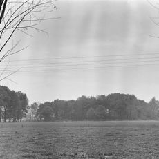
Venerbrugger Schans/Linie
7.4 km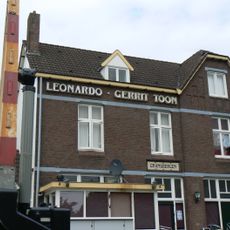
Leonardo - Gerrit Toon
9.8 kmReviews
Visited this place? Tap the stars to rate it and share your experience / photos with the community! Try now! You can cancel it anytime.
Discover hidden gems everywhere you go!
From secret cafés to breathtaking viewpoints, skip the crowded tourist spots and find places that match your style. Our app makes it easy with voice search, smart filtering, route optimization, and insider tips from travelers worldwide. Download now for the complete mobile experience.

A unique approach to discovering new places❞
— Le Figaro
All the places worth exploring❞
— France Info
A tailor-made excursion in just a few clicks❞
— 20 Minutes