
Landschaftsschutzgebiet Kulm, Landschaftsschutzgebiet in Thüringen
Location: Rudolstadt
Location: Uhlstädt-Kirchhasel
Location: Unterwellenborn
Inception: 1938
GPS coordinates: 50.68650,11.35790
Latest update: March 6, 2025 08:40

Volkstedt porcelain
3.6 km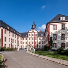
Schloss Saalfeld/Saale
3.7 km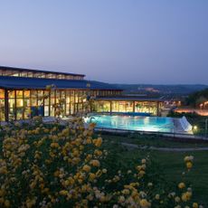
Saalemaxx
3.7 km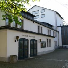
Theater Rudolstadt
3.9 km
Schillerhaus
4.2 km
Stadtkirche St. Andreas Rudolstadt
4.1 km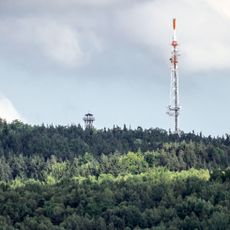
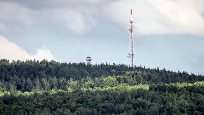
Kulm
876 m
Saalfeld Abbey
3.8 km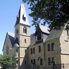
St. Marien (Rudolstadt)
4.1 km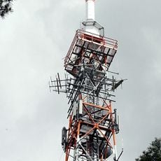
Sender Saalfeld
830 m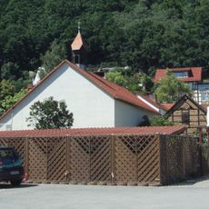
St. Josef der Arbeiter
2.8 km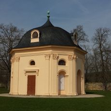
Schallhaus
4.2 km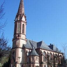
Lutherkirche
4.2 km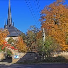
St. Gertrudis
3.5 km
Schloss Cumbach
2.8 km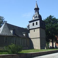
Saint Lawrence Church
3 km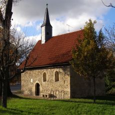
Martinskapelle
4 km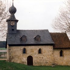
Dorfkirche Aue am Berg
4.1 km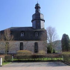
Dorfkirche Catharinau
4 km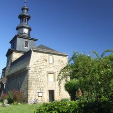
Dorfkirche Cumbach
2.8 km
St. Veit
1.5 km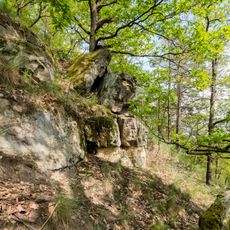
Schenkenberg
4.1 km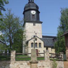
Protestant Church (Langenschade)
3.5 km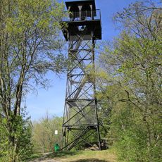
Kulm-Tower
876 m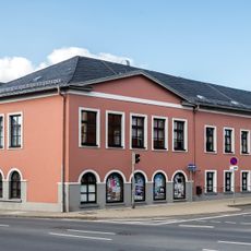
Meiniger Hof
4 km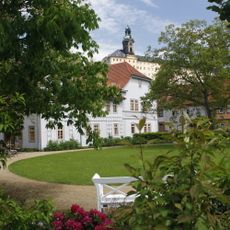
Schillerhaus Rudolstadt
4.2 km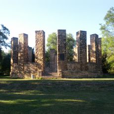
Denkmal für den Rudolstädter Senioren Convent
3.7 km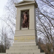
Denkmal für Prinz Ludwig Ferdinand von Preußen auf dem Schlachtfeld bei Saalfeld
2.5 kmReviews
Visited this place? Tap the stars to rate it and share your experience / photos with the community! Try now! You can cancel it anytime.
Discover hidden gems everywhere you go!
From secret cafés to breathtaking viewpoints, skip the crowded tourist spots and find places that match your style. Our app makes it easy with voice search, smart filtering, route optimization, and insider tips from travelers worldwide. Download now for the complete mobile experience.

A unique approach to discovering new places❞
— Le Figaro
All the places worth exploring❞
— France Info
A tailor-made excursion in just a few clicks❞
— 20 Minutes