
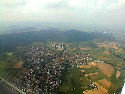
Südliches Weissacher Tal und Berglen, protected landscape area in Baden-Württemberg, Germany
Location: Rems-Murr
Inception: 1984
GPS coordinates: 48.89900,9.49374
Latest update: March 4, 2025 13:22
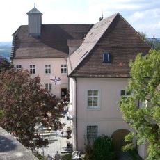
Schloss Ebersberg
5 km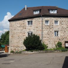
Burg Waldenstein
4.6 km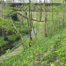
Buchenbach
6.6 km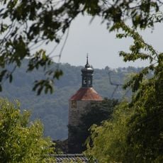
Burg Altwinnenden
4.5 km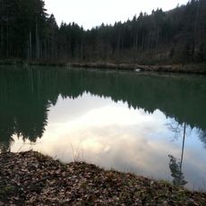
Berghofsee
5.4 km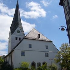
St. Agatha
3.7 km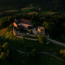
Murrhardter Wald
6.4 km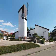
Kreuzkirche
4.2 km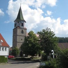
Mauritius Kirche (Oppelsbohm)
4.6 km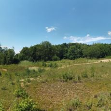
Tongrube Blindenreisach
4.3 km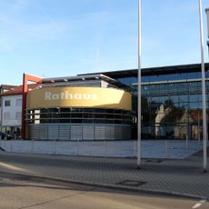
Rudersberg City Hall
2.9 km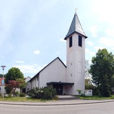
Peterskirche
6.2 km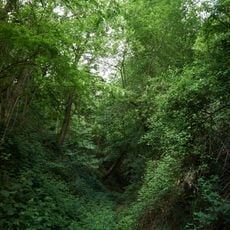
Ehemaliger Schilfsandsteinbruch
4.4 km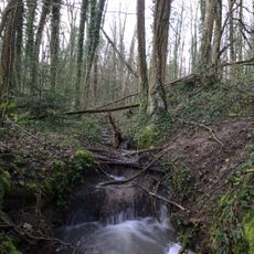
Auenwald am Heutensbach
892 m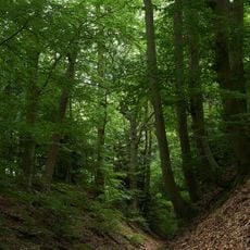
Hohlweg
5.1 km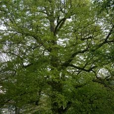
Linde am Eichberg
6.2 km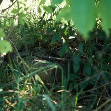
Birnbaum
6.4 km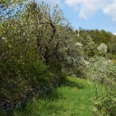
Alter Weinbergweg
5 km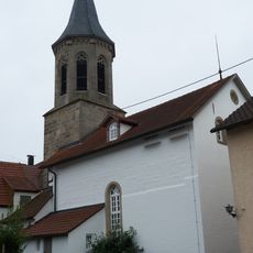
Evangelische Kirche Birkmannsweiler
6 km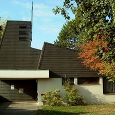
Friedenskirche
6.1 km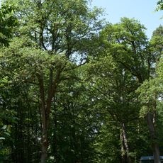
Kreuzeiche am Hörnle
3.9 km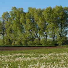
Baumreihe
6.1 km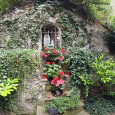
Lourdes Grotte Schloss Ebersberg
5 km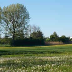
Feuchtwiese am Rotbach
5.9 km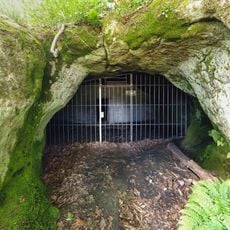
Juxkopf mit Stubensandsteinhöhle
2.7 km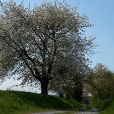
Hohlweg
5.6 km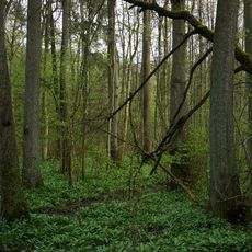
Auenwald am Buchenbachhof
5.4 km
Quellwiese und Gehölz
787 mReviews
Visited this place? Tap the stars to rate it and share your experience / photos with the community! Try now! You can cancel it anytime.
Discover hidden gems everywhere you go!
From secret cafés to breathtaking viewpoints, skip the crowded tourist spots and find places that match your style. Our app makes it easy with voice search, smart filtering, route optimization, and insider tips from travelers worldwide. Download now for the complete mobile experience.

A unique approach to discovering new places❞
— Le Figaro
All the places worth exploring❞
— France Info
A tailor-made excursion in just a few clicks❞
— 20 Minutes