
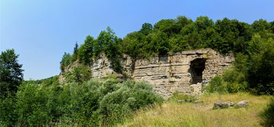
Talhänge um Schwäbisch Hall, protected landscape area in Baden-Württemberg, Germany
Location: Landkreis Schwäbisch Hall
Inception: 1994
GPS coordinates: 49.10320,9.74596
Latest update: March 5, 2025 12:28
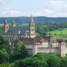
Monastery of Comburg
425 m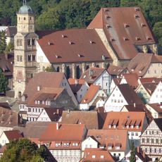
St. Michael
1.2 km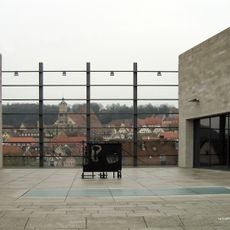
Kunsthalle Würth
1.3 km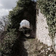
Limpurg
396 m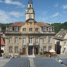
Rathaus Schwäbisch Hall
1.2 km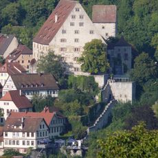
Neubau
1 km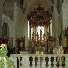
Klosterkirche Comburg
461 m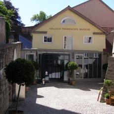
Hällisch-Fränkisches Museum
1.1 km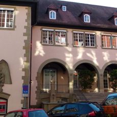
Kreissparkasse (Schwäbisch Hall)
1.2 km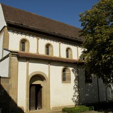
St. Ägidius
729 m
Kirche St. Urban
447 m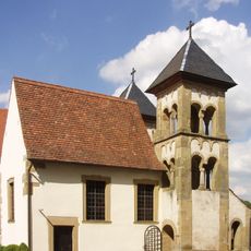
Michaelskapelle
483 m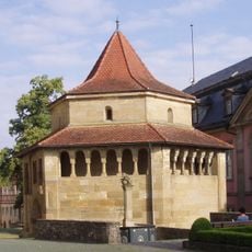
Erhardskapelle
463 m
Bonhoeffer-Haus
1.1 km
Altes Solbad
1.1 km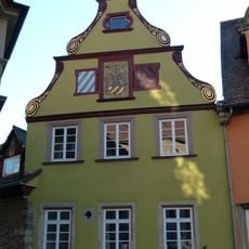
Stellwaghaus
1.2 km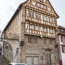
Berlerhof
1.1 km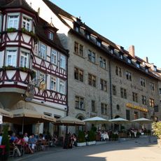
Büschlerhaus
1.2 km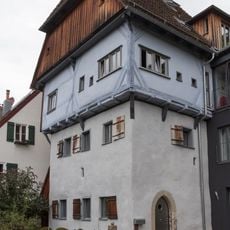
81, Unterlimpurger Street
217 m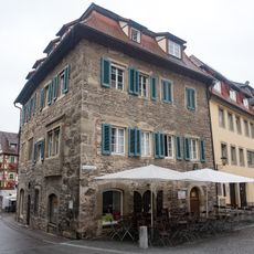
Siedersburg
1.2 km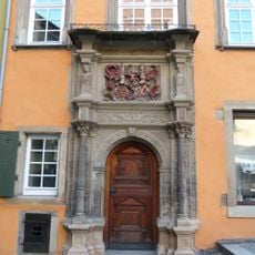
Widmanhaus
1.2 km
Villa Peregrina
997 m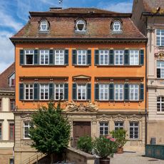
Am Markt 9 (Schwäbisch Hall)
1.3 km
Altes Gymnasium
1.2 km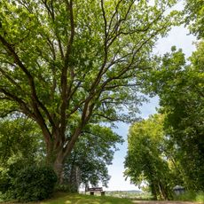
Erhardteiche
631 m
Roter Steg
1.2 km
Gasthaus Adler
1.2 km
Brüdergasse 27
1.3 kmVisited this place? Tap the stars to rate it and share your experience / photos with the community! Try now! You can cancel it anytime.
Discover hidden gems everywhere you go!
From secret cafés to breathtaking viewpoints, skip the crowded tourist spots and find places that match your style. Our app makes it easy with voice search, smart filtering, route optimization, and insider tips from travelers worldwide. Download now for the complete mobile experience.

A unique approach to discovering new places❞
— Le Figaro
All the places worth exploring❞
— France Info
A tailor-made excursion in just a few clicks❞
— 20 Minutes