
Landschaftsschutzgebiet im Landkreis Saarlouis - im Bereich der Stadt Saarlouis
Landschaftsschutzgebiet im Landkreis Saarlouis - im Bereich der Stadt Saarlouis, protected area in Germany
Location: Saarlouis
Inception: 1977
GPS coordinates: 49.32737,6.79499
Latest update: March 10, 2025 17:06
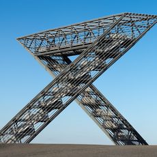
Saar Polygon
1.3 km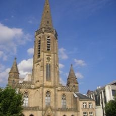
St. Ludwig
3.4 km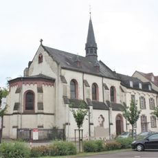
Canisianum
3.3 km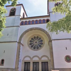
Maria Himmelfahrt
3.4 km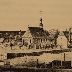
Kloster Fraulautern
2.4 km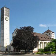
Hl. Dreifaltigkeit (Fraulautern)
2 km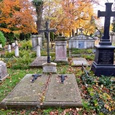
Saarlouis Alter Friedhof
3.4 km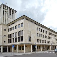
Rathaus Saarlouis
3.5 km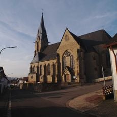
Saint Blaise and Martin Church
3.2 km
Marienpark Hasenberg
3.1 km
Deutsches Tor
3.6 km
Saint Lawrence Church
1.6 km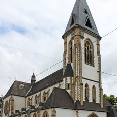
St. Martin (Schwalbach (Saar))
3 km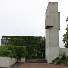
Christkönig
3.4 km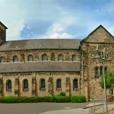
Saint Mary Church
2.6 km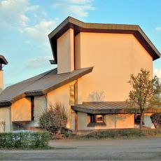
St. Johannes
1.8 km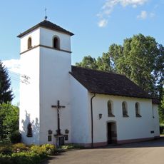
St. Apollonia (Fraulautern)
2.2 km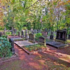
Jüdischer Friedhof
3.4 km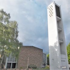
St. Josef (Saarlouis)
1.1 km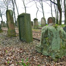
Jüdischer Friedhof Saarwellingen
3.2 km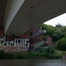
Peter-Neis-Brücke
3 km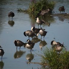
Rastgebiete im mittleren Saartal
758 m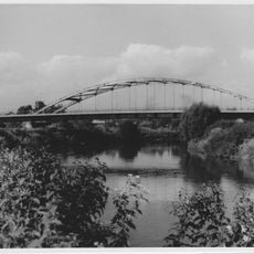
Brücke
3.1 km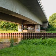
Gustav-Heinemann-Brücke
3.5 km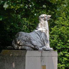
Seelöwe
3 km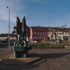
Rathausbrunnen
2.9 km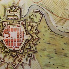
Festung Saarlouis
3.5 km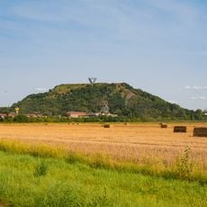
Lisdorfer Aue
2.4 kmReviews
Visited this place? Tap the stars to rate it and share your experience / photos with the community! Try now! You can cancel it anytime.
Discover hidden gems everywhere you go!
From secret cafés to breathtaking viewpoints, skip the crowded tourist spots and find places that match your style. Our app makes it easy with voice search, smart filtering, route optimization, and insider tips from travelers worldwide. Download now for the complete mobile experience.

A unique approach to discovering new places❞
— Le Figaro
All the places worth exploring❞
— France Info
A tailor-made excursion in just a few clicks❞
— 20 Minutes