
Taubertalbrücke, Autobahnbrücke in Deutschland
Location: Tauberbischofsheim
Length: 661 m
GPS coordinates: 49.60189,9.68303
Latest update: April 1, 2025 14:23
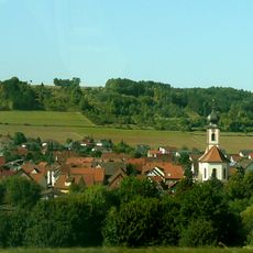
St. Vitus
1 km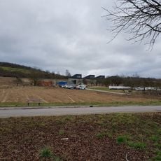
Wasserwerk Taubertal
831 m
Schloss Abendantz
633 m
Zobelschloss
494 m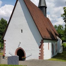
Wolfgangskapelle (Distelhausen)
657 m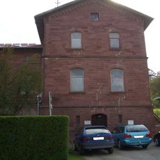
Bahnhof Distelhausen
404 m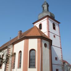
St. Markus
762 m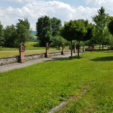
Kreuzweg in der Friedhofsmauer
731 m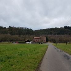
Bahnstation Distelhausen
405 m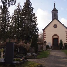
Friedhofskapelle
685 m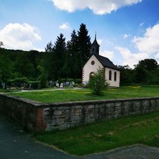
Friedhof Dittigheim
664 m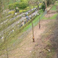
Friedhof
618 m
Wasserschutzgebiet Dittigheim
506 m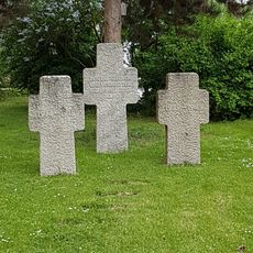
Kriegerdenkmal
1 km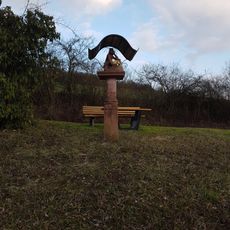
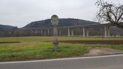
Bildstock
924 m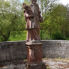
Bildstock
955 m
Landratsamt Main-Tauber-Kreis – Kreismedienzentrum
487 m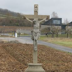
Steinkreuz
895 m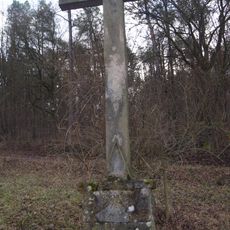
Steinkreuz
564 m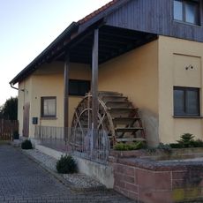
Wassermühle Dittigheim
938 m
Gedenkstein
919 m
Bildstock
924 m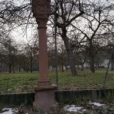
Bildstock
861 m
Autobahnmeisterei Tauberbischofsheim
655 m
Bildstock
897 m
Bildstock
919 m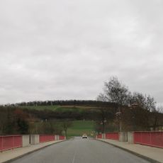
Tauberbrücke
940 m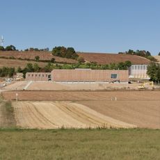
Straßenmeisterei Tauberbischofsheim-Distelhausen
491 mReviews
Visited this place? Tap the stars to rate it and share your experience / photos with the community! Try now! You can cancel it anytime.
Discover hidden gems everywhere you go!
From secret cafés to breathtaking viewpoints, skip the crowded tourist spots and find places that match your style. Our app makes it easy with voice search, smart filtering, route optimization, and insider tips from travelers worldwide. Download now for the complete mobile experience.

A unique approach to discovering new places❞
— Le Figaro
All the places worth exploring❞
— France Info
A tailor-made excursion in just a few clicks❞
— 20 Minutes