
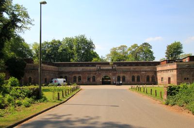
Fort VI, part of the former outer ring of forts in Cologne, Germany, on the left (Western) bank of the River Rhine
Location: Lindenthal
Inception: 1873
Part of: Forts in Cologne
GPS coordinates: 50.91459,6.89134
Latest update: March 8, 2025 03:57
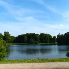
Decksteiner Weiher
824 m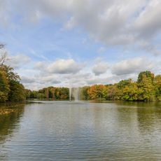
Stadtwald Köln
1.7 km
Krieler Dömchen
1.2 km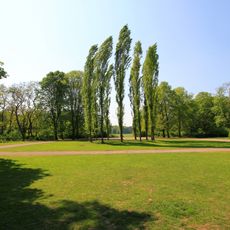
Beethovenpark (Köln)
1.5 km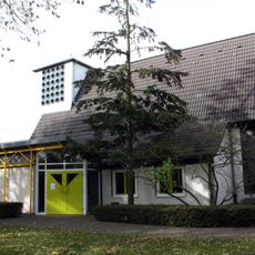
Friedenskirche
1.9 km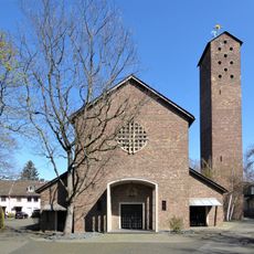
St. Albertus Magnus
1.2 km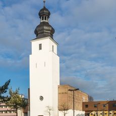
Zur Heiligen Familie
1.9 km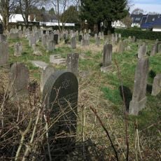
Jüdischer Friedhof Köln-Deckstein
660 m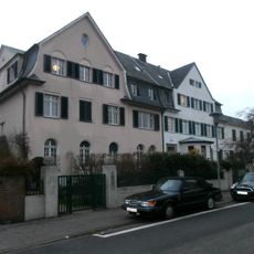
Max-Bruch-Straße 8
1.5 km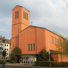
Paul Gerhardt church
1.8 km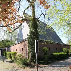
St. Thomas Morus
1.3 km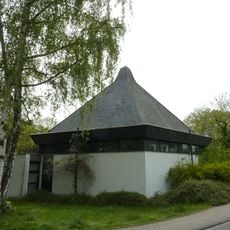
Dietrich-Bonhoeffer-Kirche
491 m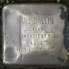
Stolperstein dedicated to Hans Ballin
1.6 km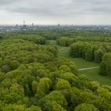
Landschaftsschutzgebiet Äußerer Grüngürtel Müngersdorf bis Marienburg und verbindende Grünzüge
1 km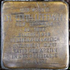
Stolperstein dedicated to Edith Leffmann
1.5 km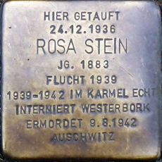
Stolperstein dedicated to Rosa Stein
1.1 km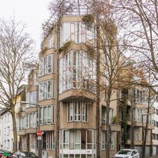
Scheffelstraße 47
1.6 km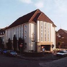
Neuapostolische Kirche Köln-Süd
1.7 km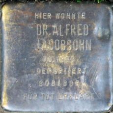
Stolperstein dedicated to Alfred Jacobsohn
1.5 km
Enckestraße 2
787 m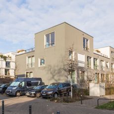
Wohnbebauung „Baufreunde 2011“
1.9 km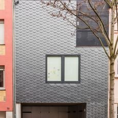
Schlegelstraße 28
1.3 km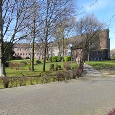
Mutterhaus der Cellitinnen zur heiligen Elisabeth (Köln-Lindenthal)
993 m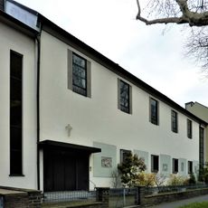
Katholisch-apostolisches Gemeindehaus (Köln-Sülz)
1.4 km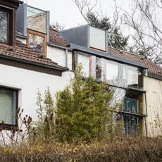
Überlinger Straße 11
1 km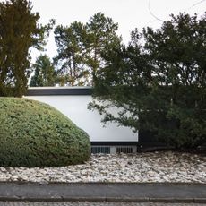
Räderscheidtstraße 1 bis 3
694 m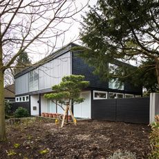
Peter‐Kintgen‐Straße 2
740 m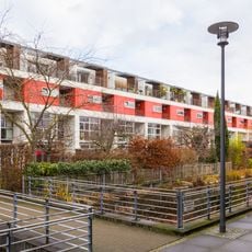
Johannes-Theodor-Baargeldweg 24 bis 48
1.8 kmReviews
Visited this place? Tap the stars to rate it and share your experience / photos with the community! Try now! You can cancel it anytime.
Discover hidden gems everywhere you go!
From secret cafés to breathtaking viewpoints, skip the crowded tourist spots and find places that match your style. Our app makes it easy with voice search, smart filtering, route optimization, and insider tips from travelers worldwide. Download now for the complete mobile experience.

A unique approach to discovering new places❞
— Le Figaro
All the places worth exploring❞
— France Info
A tailor-made excursion in just a few clicks❞
— 20 Minutes