
Pru District, district of Ghana
Location: Brong-Ahafo Region
Shares border with: East Gonja Municipal District
GPS coordinates: 8.21700,-0.65200
Latest update: March 2, 2025 23:44
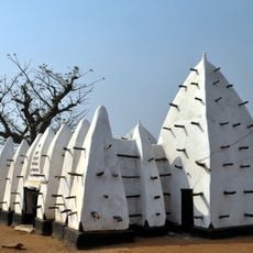
Larabanga Mosque
173.9 km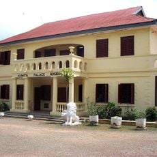
Manhyia Palace
199.3 km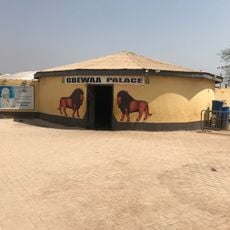
Gbewaa Palace
154.1 km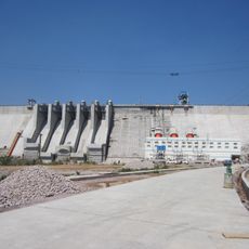
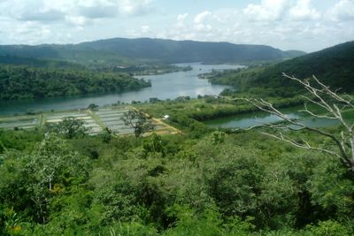
Bui Dam
174.6 km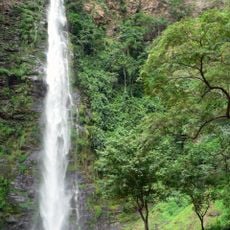
Wli waterfalls
183.3 km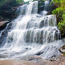
Kintampo waterfalls
116.1 km
Bui National Park
188.7 km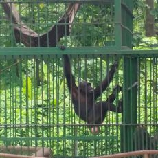
Kumasi Zoo
200.1 km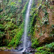
Kyabobo National Park
141.5 km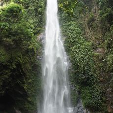
Tagbo Falls
161.7 km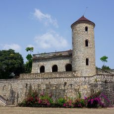
Château Vial
195.9 km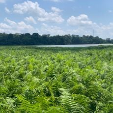
Owabi Wildlife Sanctuary
200.6 km
St Peter's Cathedral Basilica, Kumasi
200.2 km
Wesley Methodist Cathedral
200.6 km
Yaa Asantewaa Museum
190 km
Forêt de Missahoé
196.3 km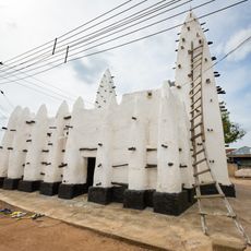
Maluwe Mosque
187.4 km
Tafi Atome
185.7 km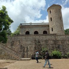
Château Viale
195.9 km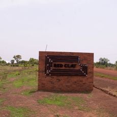
Red Clay Studio
141.8 km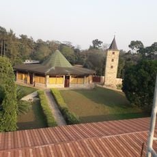
Abbaye de l'Ascension de Danyi-Dzogbegan
186.7 km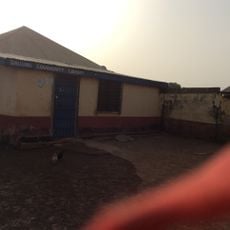
Dallung Community Library
162 km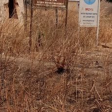
Moya
140.2 km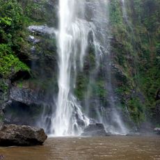
Chutes d'Yikpa
186.2 km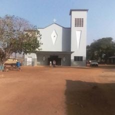
Yendi Cathedral
153.5 km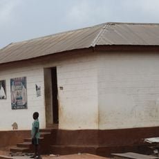
Tano Abenamu Subunu Shrine
198.2 km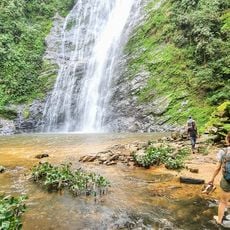
Akloa Waterfall
160.6 km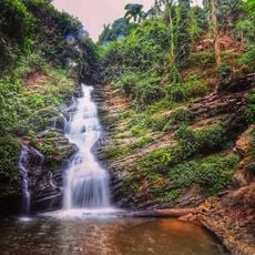
Kloto
199.4 kmReviews
Visited this place? Tap the stars to rate it and share your experience / photos with the community! Try now! You can cancel it anytime.
Discover hidden gems everywhere you go!
From secret cafés to breathtaking viewpoints, skip the crowded tourist spots and find places that match your style. Our app makes it easy with voice search, smart filtering, route optimization, and insider tips from travelers worldwide. Download now for the complete mobile experience.

A unique approach to discovering new places❞
— Le Figaro
All the places worth exploring❞
— France Info
A tailor-made excursion in just a few clicks❞
— 20 Minutes