
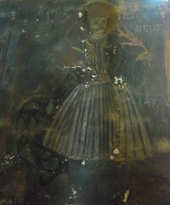
Ι. Ναός Αγίου Γεωργίου, church building in Greece
Location: Sintiki Municipality
GPS coordinates: 41.22417,23.02833
Latest update: April 9, 2025 15:22

Lake Kerkini
8.7 km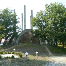
Samouil's Fortress
19 km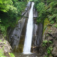
Smolare Falls
19.1 km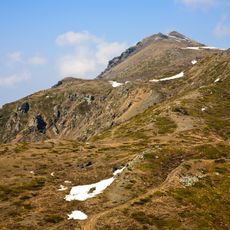
Tumba Peak
15.3 km
Radomir
13.3 km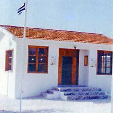
Fort Istibey
21.3 km
Belasitsa Nature Park
19.1 km
Kongur
16.3 km
Kongura
19.1 km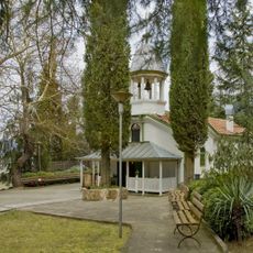
Petrich Monastery
22.2 km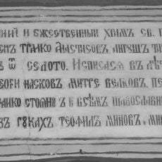
Saint Elijah Church
17.9 km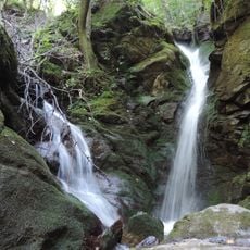
Leshnishki waterfall
19.8 km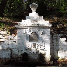
Бела чешма
16.4 km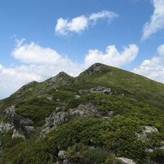
Punkova skala
14.2 km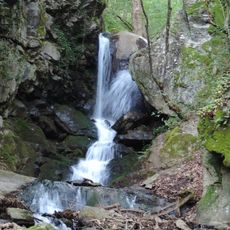
Yavornishki waterfall
14.5 km
Лозен
12 km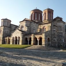
Saint John the Baptist Minastery, Akritochori
12.9 km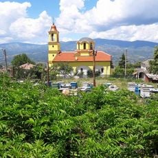
Saint Demetrius Church
16.5 km
Дяволски мост
20 km
Дебело Брдо
14.6 km
Holy Trinity Church, Kato Theodoraki
9 km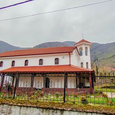
Sts. Constantine and Helena Church
22.4 km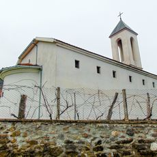
Holy Trinity Church, Smolari
19.8 km
Црква „Св. Спас“ - Старо Коњарево
16.9 km
Црква „Св. Климент Охридски“ - Ново Коњарево
20.5 km
Nativity of the Theotokos Church
18.8 km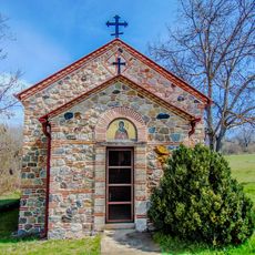
St. Petka Church
21.1 km
Dormition of the Theotokos Church
22.2 kmReviews
Visited this place? Tap the stars to rate it and share your experience / photos with the community! Try now! You can cancel it anytime.
Discover hidden gems everywhere you go!
From secret cafés to breathtaking viewpoints, skip the crowded tourist spots and find places that match your style. Our app makes it easy with voice search, smart filtering, route optimization, and insider tips from travelers worldwide. Download now for the complete mobile experience.

A unique approach to discovering new places❞
— Le Figaro
All the places worth exploring❞
— France Info
A tailor-made excursion in just a few clicks❞
— 20 Minutes