
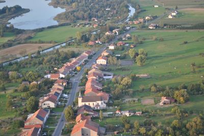
Diane-Capelle, commune in Moselle, France
Location: Moselle
Location: arrondissement of Sarrebourg-Château-Salins
Elevation above the sea: 274 m
Shares border with: Barchain, Gondrexange, Kerprich-aux-Bois, Languimberg, Rhodes
GPS coordinates: 48.72889,6.93389
Latest update: May 28, 2025 04:53
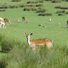
Parc animalier de Sainte-Croix
5.5 km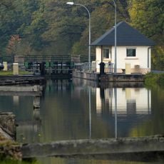
Canal des houillères de la Sarre
3.6 km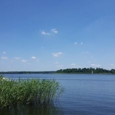
Étang du Stock
2.4 km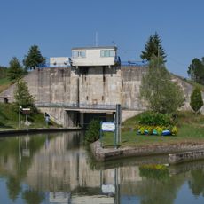
Ecluse de Rechicourt
7.7 km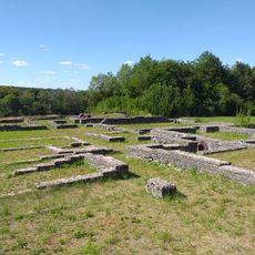
Villa gallo-romaine de Saint-Ulrich
6.9 km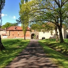
Château de romécourt
7.8 km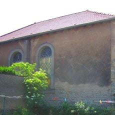
Imling synagogue
6.7 km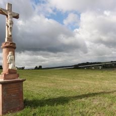
Landbach Viaduct
7.5 km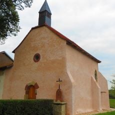
Ste-Anne (Albeschaux)
6.3 km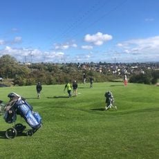
Golf du Pays de Sarrebourg
6.4 km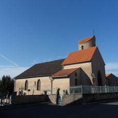
Église Saint-Remi de Xouaxange
5.8 km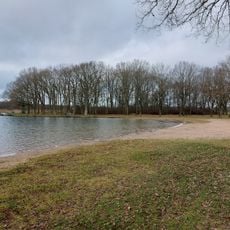
Plage de Langatte
3.4 km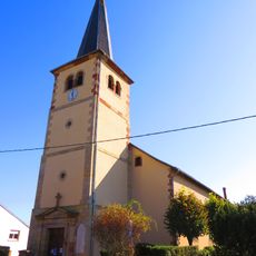
Église Saint-Luc de Gondrexange
5 km
Église Saint-Antoine-de-Padoue de Hertzing
4.8 km
Église Saint-Séverin de Haut-Clocher
5.9 km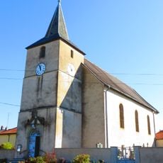
Église Saint-Denis de Diane-Capelle
331 m
Église Saint-Martin de Fribourg
7 km
Église Saint-Sévère de Gosselming
8.6 km
Église Saint-Nicolas d'Héming
4.5 km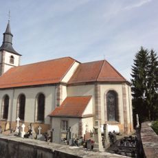
Église Saint-Michel de Langatte
4.6 km
Église Sainte-Marguerite de Landange
6.7 km
Église Saint-Pierre-aux-Liens de Kerprich-aux-Bois
2.2 km
Église Saint-Adelphe de Languimberg
5.9 km
Église Saint-Martin de Dolving
8.2 km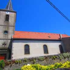
Église de l'Exaltation-de-la-Sainte-Croix d'Imling
6.7 km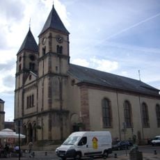
Collégiale Saint-Étienne de Sarrebourg
6.7 km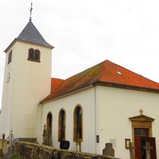
Église Notre-Dame de Rhodes
4.1 km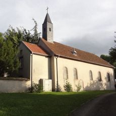
Couvent de Saint-Ulrich
6.9 kmReviews
Visited this place? Tap the stars to rate it and share your experience / photos with the community! Try now! You can cancel it anytime.
Discover hidden gems everywhere you go!
From secret cafés to breathtaking viewpoints, skip the crowded tourist spots and find places that match your style. Our app makes it easy with voice search, smart filtering, route optimization, and insider tips from travelers worldwide. Download now for the complete mobile experience.

A unique approach to discovering new places❞
— Le Figaro
All the places worth exploring❞
— France Info
A tailor-made excursion in just a few clicks❞
— 20 Minutes