
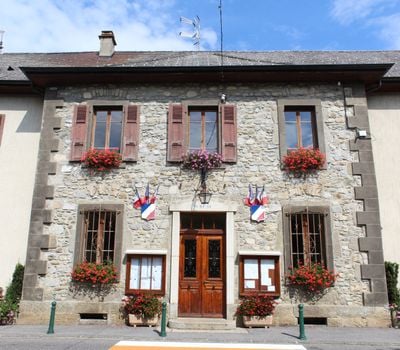
Pers-Jussy, commune in Haute-Savoie, France
Location: Canton of Reignier-Ésery
Location: Haute-Savoie
Location: arrondissement of Saint-Julien-en-Genevois
Elevation above the sea: 693 m
Shares border with: Arbusigny, La Chapelle-Rambaud, Cornier, Etaux, Reignier-Esery, Scientrier
Phone: +33450944079
Email: accueil@mairie-pers-jussy.fr
Website: https://mairie-pers-jussy.fr
GPS coordinates: 46.10722,6.26722
Latest update: June 12, 2025 21:18
Bénite Fontaine
6.8 km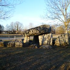
Pierre-aux-Fées
3.1 km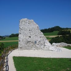
Château de Faucigny
7.1 km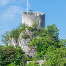
Château de La Roche-sur-Foron
5.9 km
Shedrub Choekhor Ling
7.7 km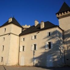
Château de l'Échelle
5.8 km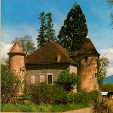
Château de Baudry
5.9 km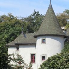
Château de Loëx
7.2 km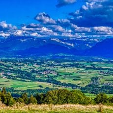
Col d'Évires
7 km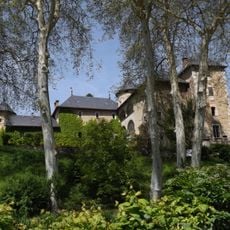
Château d'Arenthon
5 km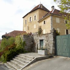
Château du Saix
5.8 km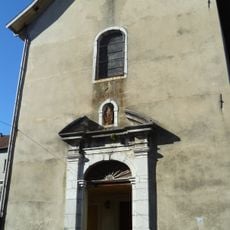
Couvent des Bernardins de La Roche-sur-Foron
5.6 km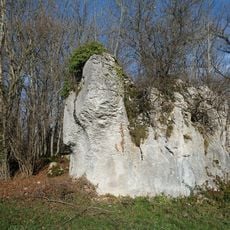
Plaine des Rocailles
2.4 km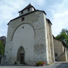
Église Sainte-Foy de Contamine-sur-Arve
6.2 km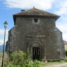
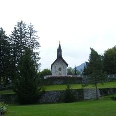
Chapelle de Moussy
2.3 km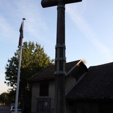
Wayside cross of La Roche-sur-Foron
5.7 km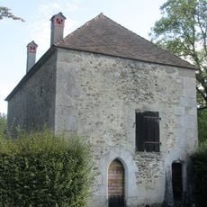
Chapelle de la Maladière-de-Veige
4.4 km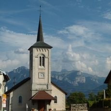
Église Saint-Just de Cornier
3 km
Cimetière de Contamine-sur-Arve
6.2 km
Golf Country Club d'Ésery
4.2 km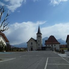
Église Saint-Théodule d'Arenthon
5.1 km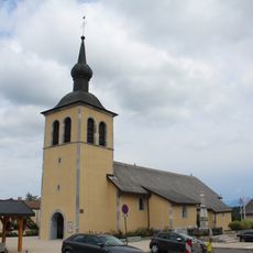
Église Saint-Jean-Baptiste d'Arbusigny
4.2 km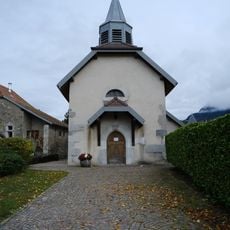
Église Saint-Sixt-II de Saint-Sixt
7.7 km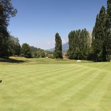
Golf de Mornex
6.3 km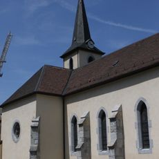
Église Saint-Pierre-aux-Liens de Monnetier
7.6 km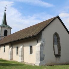
Église Saint-André d'Etaux
5.1 km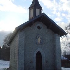
Chapelle de la Marmotte de La Chapelle-Rambaud
4.6 km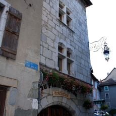
Immeuble, 1 rue des Fours, La Roche-sur-Foron
5.8 kmReviews
Visited this place? Tap the stars to rate it and share your experience / photos with the community! Try now! You can cancel it anytime.
Discover hidden gems everywhere you go!
From secret cafés to breathtaking viewpoints, skip the crowded tourist spots and find places that match your style. Our app makes it easy with voice search, smart filtering, route optimization, and insider tips from travelers worldwide. Download now for the complete mobile experience.

A unique approach to discovering new places❞
— Le Figaro
All the places worth exploring❞
— France Info
A tailor-made excursion in just a few clicks❞
— 20 Minutes