Canton of Plateau d'Hauteville, canton of France
Location: Ain
Inception: March 22, 2015
Capital city: Plateau d'Hauteville
GPS coordinates: 45.97920,5.60530
Latest update: June 2, 2025 13:22
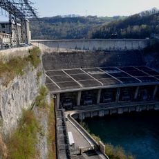
Génissiat Dam
18 km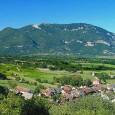
Grand Colombier
14.8 km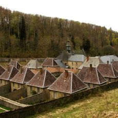
Chartreuse de Portes
16 km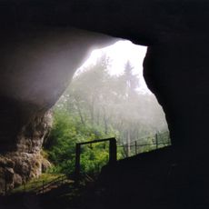
Grottes du Cerdon
15.9 km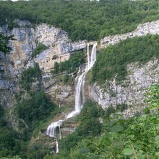
Cascade de la Charabotte
3.4 km
Culoz
20.3 km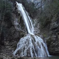
Cascade de la Fouge
12.2 km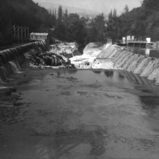
Perte du Rhône
22.5 km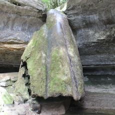
Cascade du Pain de sucre
9.5 km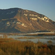
Marais de Lavours National Nature Reserve
20.9 km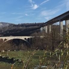
Bellegarde-sur-Valserine Viaduct
21.6 km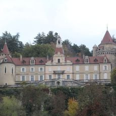
Castle of Machuraz
13.7 km
Château d'Angeville
763 m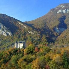
Château de Montvéran
19.6 km
Abbaye de Saint-Sulpice
9.2 km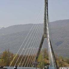
Pont de Seyssel
18 km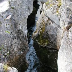
Pertes de la Valserine
23.1 km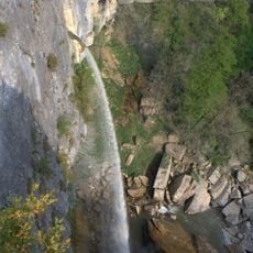
Cascade de Cerveyrieu
12.5 km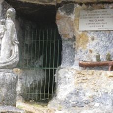
Aqueduc romain de Vieu
10.9 km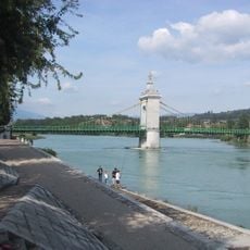
Vieux pont suspendu de Seyssel
17.8 km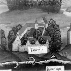
Chartreuse d'Arvières
13.1 km
Gorges de l'Albarine
7 km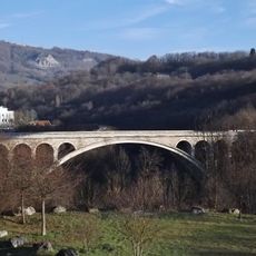
Pont de Savoie
21.7 km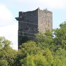
Château de Dorches
14.8 km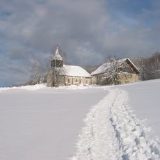
Chapel of Retord
14.9 km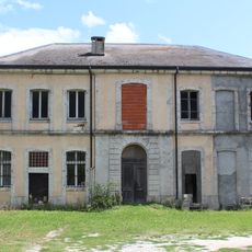
Château d'Anglefort
17.7 km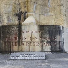
Monument des Maquis de l'Ain
13.9 km
Cascade du Pain de sucre de Surjoux
16.2 kmVisited this place? Tap the stars to rate it and share your experience / photos with the community! Try now! You can cancel it anytime.
Discover hidden gems everywhere you go!
From secret cafés to breathtaking viewpoints, skip the crowded tourist spots and find places that match your style. Our app makes it easy with voice search, smart filtering, route optimization, and insider tips from travelers worldwide. Download now for the complete mobile experience.

A unique approach to discovering new places❞
— Le Figaro
All the places worth exploring❞
— France Info
A tailor-made excursion in just a few clicks❞
— 20 Minutes