
Ogy, commune in Moselle, France
Location: canton of Pange
Location: Ogy-Montoy-Flanville
Location: arrondissement of Metz
Elevation above the sea: 267 m
Shares border with: Marsilly, Coincy, Colligny, Maizery, Montoy-Flanville, Retonfey
GPS coordinates: 49.10444,6.31083
Latest update: June 4, 2025 20:06
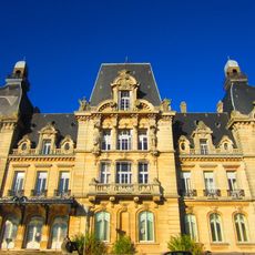
Château de Mercy
5.4 km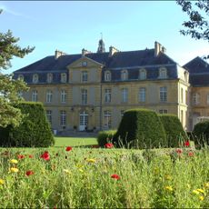
Château de Pange
3.9 km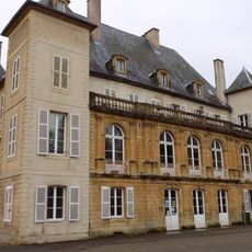
Château d'Urville
5.1 km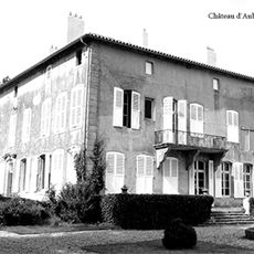
Château d'Aubigny
2.8 km
Château de Colombey
3.6 km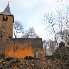
Église Saint-Nabor de Colombey
3.3 km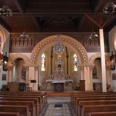
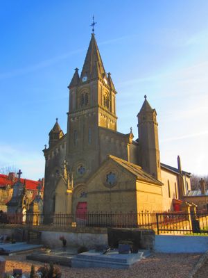
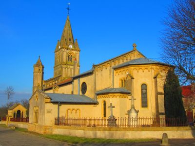
Saint Aignan Church
1.2 km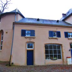
Château de Montoy
3 km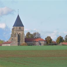
Église Sainte-Barbe de Sainte-Barbe
6.1 km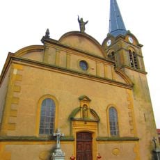
Église Sainte-Marie-Madeleine de Courcelles-sur-Nied
4.3 km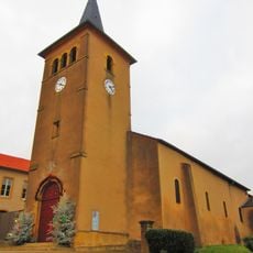
Saint Lambertus Church
3.2 km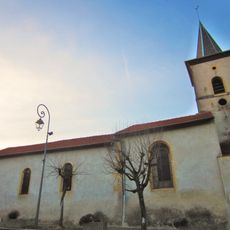
Église Sainte-Agnès de Nouilly
5.2 km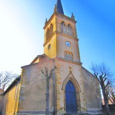
Église Saint-Martin de Pange
4.1 km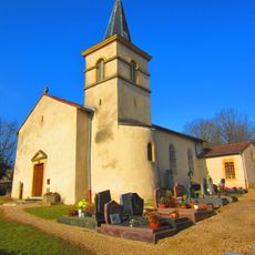
Église Saint-Arnoul de Silly-sur-Nied
3.9 km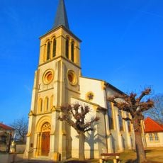
Église Sainte-Catherine de Servigny-lès-Sainte-Barbe
5.6 km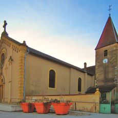
Église Saint-Martin de Retonfey
3.5 km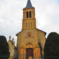
Église Saint-Maximin de Laquenexy
3 km
Chapelle du château de Montoy-Flanville
3 km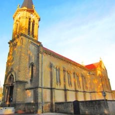
Église Saint-Jean-Baptiste des Etangs
6.4 km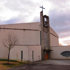
Église Notre-Dame-de-Confiance de la Grange-aux-Bois
5.1 km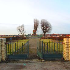
Noisseville Franco-Prussian War Memorial
3.8 km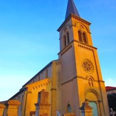
Église de la Translation-de-Saint-Étienne de Noisseville
4.2 km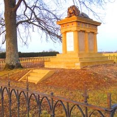
Monument du 1er Corps d'Armée allemand
3.6 km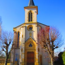
Chapelle Saint-Maur de Vrémy
6.8 km
Chapelle du centre hospitalier spécialisé des Vallons
4.3 km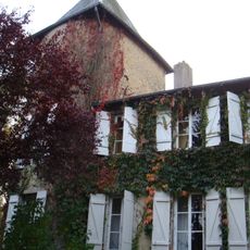
Château des Étangs
6.4 km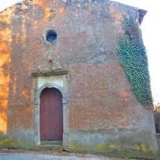
Chapelle castrale des Étangs
6.4 km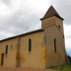
Chapelle de Domangeville
4.7 kmReviews
Visited this place? Tap the stars to rate it and share your experience / photos with the community! Try now! You can cancel it anytime.
Discover hidden gems everywhere you go!
From secret cafés to breathtaking viewpoints, skip the crowded tourist spots and find places that match your style. Our app makes it easy with voice search, smart filtering, route optimization, and insider tips from travelers worldwide. Download now for the complete mobile experience.

A unique approach to discovering new places❞
— Le Figaro
All the places worth exploring❞
— France Info
A tailor-made excursion in just a few clicks❞
— 20 Minutes