
Canton of Giromagny, canton of France
Location: Territoire de Belfort
Inception: March 22, 2015
Capital city: Giromagny
GPS coordinates: 47.72734,6.83486
Latest update: May 1, 2025 13:59
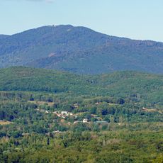
Planche des Belles Filles
6.3 km
Cycling at Planche des Belles Filles
6.4 km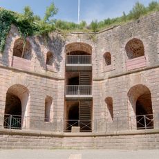
Fort de Giromagny
1.7 km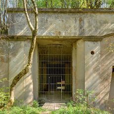
Fort de Roppe
7.2 km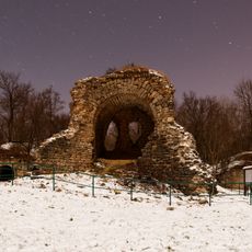
Ouvrage "G" de la D.A.T.
7.6 km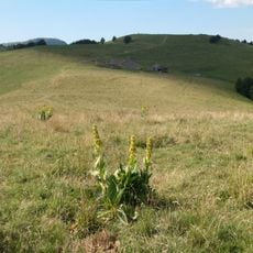
Wissgrut
7.5 km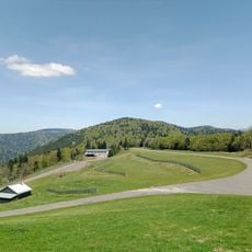
Ballon Saint-Antoine
7.2 km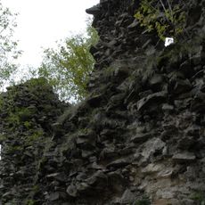
Château du Rosemont
4.3 km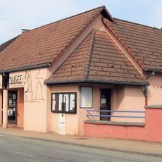
Forge d'Étueffont
6.5 km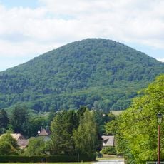
Fayé
4.8 km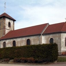
Église Saint-Georges de Grosmagny
3.6 km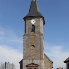
Église Saint-Vincent de Lachapelle-sous-Chaux
2.7 km
Église Saint-Jean-Baptiste de Giromagny
1.8 km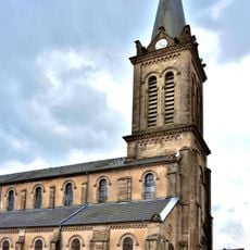
Église de la Nativité-de-Notre-Dame de Lepuix
3.8 km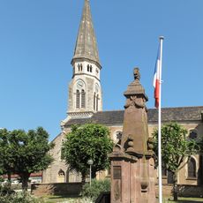
Église Saint-Joseph
6.2 km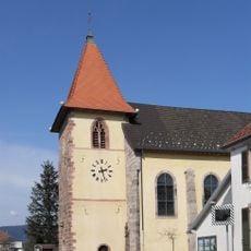
Église Saint-Martin de Chaux
2.4 km
Église Saint-Georges
1.3 km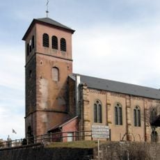
Église Saint-Valbert d'Étueffont
6.5 km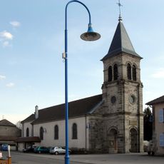
Église de Évette-Salbert
6.3 km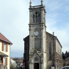
Église Sainte-Catherine
4.2 km
Le Salbert
7.7 km
Roche du Canton
4.8 km
Église Notre-Dame-Auxiliatrice
5.1 km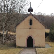
Chapelle Sainte-Madeleine de Lamadeleine-Val-des-Anges
7 km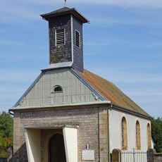
Chapelle d'Errevet
6.7 km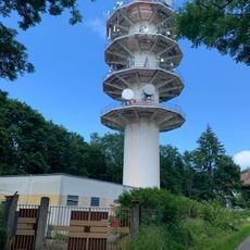
Tour hertzienne TDF du Salbert
7.7 km
Chapelle du prieuré Saint-Benoît de Chauveroche
4.5 km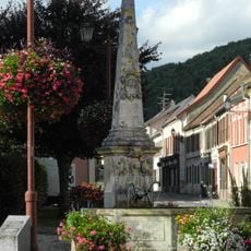
Monument commémoratif de la réunion de l'Alsace à la France en 1648
1.8 kmReviews
Visited this place? Tap the stars to rate it and share your experience / photos with the community! Try now! You can cancel it anytime.
Discover hidden gems everywhere you go!
From secret cafés to breathtaking viewpoints, skip the crowded tourist spots and find places that match your style. Our app makes it easy with voice search, smart filtering, route optimization, and insider tips from travelers worldwide. Download now for the complete mobile experience.

A unique approach to discovering new places❞
— Le Figaro
All the places worth exploring❞
— France Info
A tailor-made excursion in just a few clicks❞
— 20 Minutes