
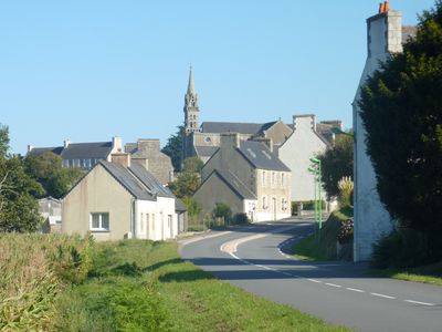
Botsorhel, commune in Finistère, France
Location: Finistère
Location: arrondissement of Morlaix
Elevation above the sea: 204 m
Shares border with: Plougras, Bolazec, Guerlesquin, Lannéanou, Plouégat-Moysan, Scrignac, Plouigneau
Phone: +33298728543
Email: mairie.botsorhel@wanadoo.fr
Website: https://botsorhel.fr
GPS coordinates: 48.52694,-3.64139
Latest update: June 12, 2025 01:40
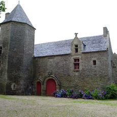
Manoir de Mézedern
4.9 km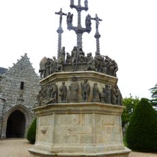
Plougonven Parish close
5.3 km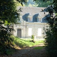
Château de Keraël
2 km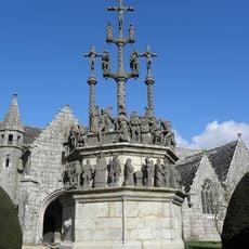
Calvary at Plougonven
5.3 km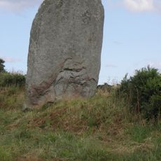
Menhir de Créac'h Edern
5.7 km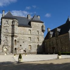
Château et manoir de Kéroué
8.6 km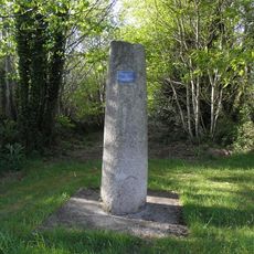
Borne milliaire de Quillidien
5.7 km
Manoir de Lesmoal
6.2 km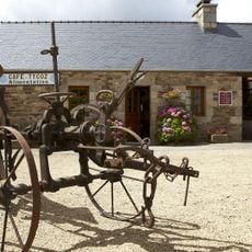
Ecomuseum of Plouigneau
6.5 km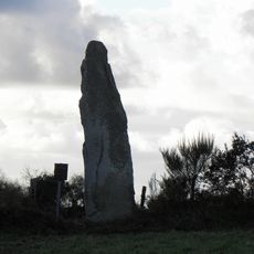
Menhir de Kerellou
3.8 km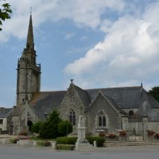
Église Saint-Pierre de Plougras
6.1 km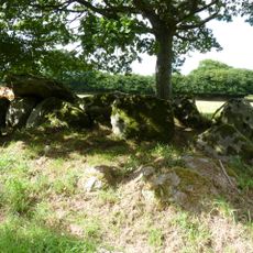
Allée couverte de Kernescop
11.1 km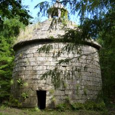
Colombier de Lesmoal
6.3 km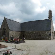
Chapelle Saint-Gonéry de Plougras
6.5 km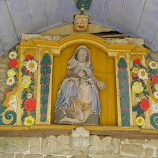
Pietà de Plougras
6.1 km
Église Saint-Ténénan de Guerlesquin
4.1 km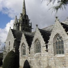
Église Saint-Yves de Plougonven
5.2 km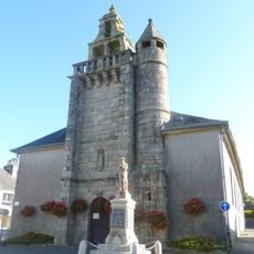
Église Saint-Jean-Baptiste
4.8 km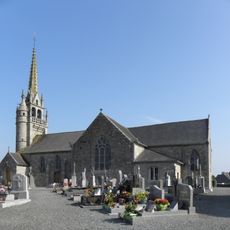
Église Saint-Pierre
5.6 km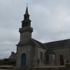
Église Saint-Eutrope de Saint-Eutrope
7.3 km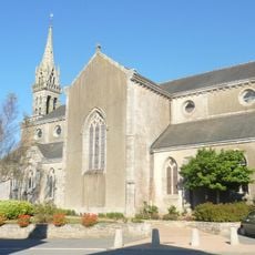
Église Saint-Georges de Botsorhel
11 m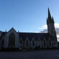
Église Saint-Ignace de Plouigneau
6.3 km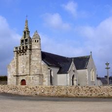
Église Notre-Dame-et-Saint-Guénaël de Bolazec
10.2 km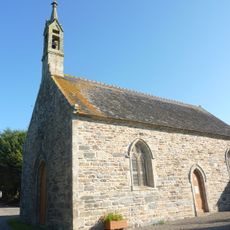
Chapelle Saint-Germain de Kervézec
8 km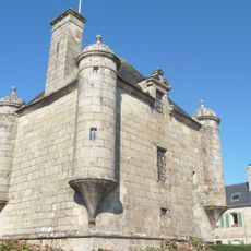
Prétoire de Guerlesquin
4 km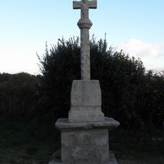
Croix de Saint-Ener
3.5 km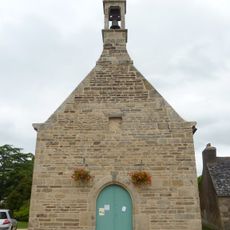
Chapelle du Christ de Plougonven
5.2 km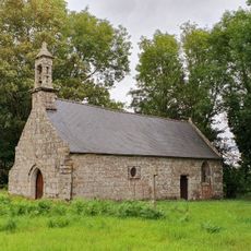
Chapelle Saint-Maudez de Guerlesquin
6.3 kmReviews
Visited this place? Tap the stars to rate it and share your experience / photos with the community! Try now! You can cancel it anytime.
Discover hidden gems everywhere you go!
From secret cafés to breathtaking viewpoints, skip the crowded tourist spots and find places that match your style. Our app makes it easy with voice search, smart filtering, route optimization, and insider tips from travelers worldwide. Download now for the complete mobile experience.

A unique approach to discovering new places❞
— Le Figaro
All the places worth exploring❞
— France Info
A tailor-made excursion in just a few clicks❞
— 20 Minutes