
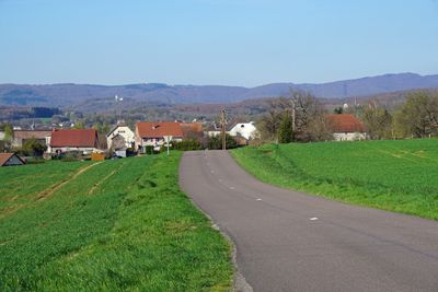
Andornay, commune in Haute-Saône, France
Location: canton of Lure-Sud
Location: Haute-Saône
Location: arrondissement of Lure
Elevation above the sea: 314 m
Industry: administration publique générale
Shares border with: Magny-Danigon, Clairegoutte, Lyoffans, Magny-Jobert, Palante
Phone: +33384630914
Email: communeandornay@orange.fr
Website: https://pays-de-lure.fr/vie-communautaire/andornay.htm
GPS coordinates: 47.65556,6.59667
Latest update: April 3, 2025 07:50
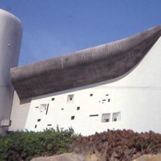
Notre Dame du Haut
5.7 km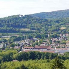
Bourlémont
5.8 km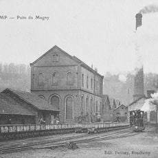
Puits du Magny
4.6 km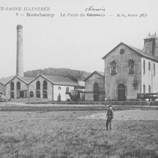
Puits du Chanois
4.8 km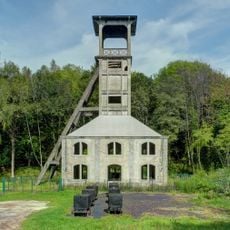
Chevalement du puits Sainte Marie
5.8 km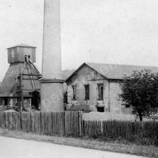
Puits Sainte-Pauline
6.4 km
Musée de la mine Marcel Maulini
5.6 km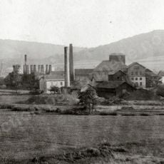
Puits Saint-Joseph
6 km
Église Notre-Dame-du Bas de Ronchamp
5.6 km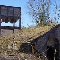
Atelier de triage-lavage-cokerie du Chanois
4.9 km
Château d'Étobon
5.9 km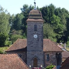
Temple luthérien de Clairegoutte
2 km
Ferme-clouterie
2 km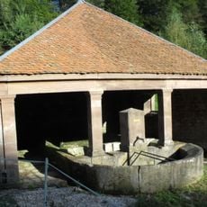
Fontaine-Lavoir
4 km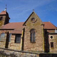
Église Saint-Martin de Lomont
3.9 km
Église de Malbouhans
6.5 km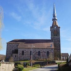
Église Saint-Christophe de Moffans
4.5 km
Église Saint-Hippolyte de La Côte
4.3 km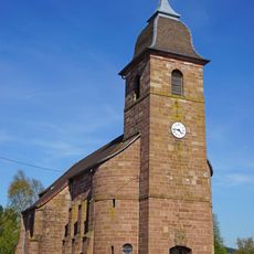
Église Saint-Nicolas de Faymont
5.3 km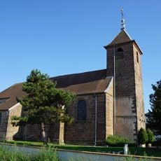
Église Saint-Hippolyte de Roye
4.5 km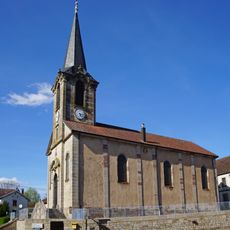
Église protestante de Magny-Danigon
2.2 km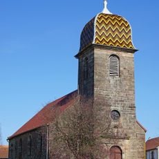
Église Saint-Martin de Lyoffans
1.4 km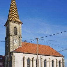
Temple d'Étobon
6.1 km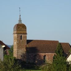
Église Saint-Laurent de Frotey-lès-Lure
3.1 km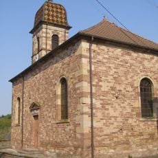
Église de Belverne
4.8 km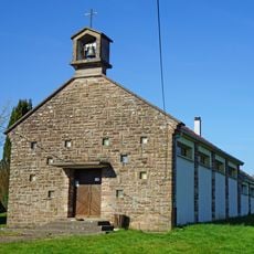
Chapelle Saint-Bernard de Clairegoutte
1.9 km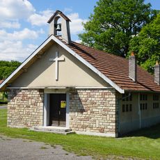
Chapelle Sainte-Pauline
6.2 km
Chapelle des Cornottes de la Combe
729 mReviews
Visited this place? Tap the stars to rate it and share your experience / photos with the community! Try now! You can cancel it anytime.
Discover hidden gems everywhere you go!
From secret cafés to breathtaking viewpoints, skip the crowded tourist spots and find places that match your style. Our app makes it easy with voice search, smart filtering, route optimization, and insider tips from travelers worldwide. Download now for the complete mobile experience.

A unique approach to discovering new places❞
— Le Figaro
All the places worth exploring❞
— France Info
A tailor-made excursion in just a few clicks❞
— 20 Minutes