
Saint-Andéol-le-Château, former commune in Rhône, France
Location: Rhône
Elevation above the sea: 313 m
Shares border with: Givors, Chassagny, Mornant, Saint-Jean-de-Touslas, Saint-Romain-en-Gier
GPS coordinates: 45.58583,4.69500
Latest update: June 4, 2025 21:30
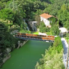
Canal de Givors
6.3 km
Givors suspension bridge
6.6 km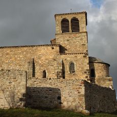
Chapelle Saint-Vincent de Saint-Laurent-d'Agny
7 km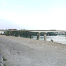
Pont de Givors
6.4 km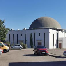
Khaled ibn El Walid mosque
6.2 km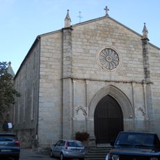
Église Saint-Pierre de Mornant
4.1 km
Église Saint-Blaise de Chassagny
3.7 km
Église Saint-Laurent de Saint-Laurent-d'Agny
6.2 km
Église Sainte-Marie de Taluyers
6.6 km
Église Notre-Dame-de-l'Assomption de Trèves
5.3 km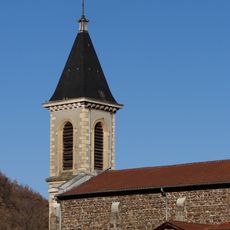
Église Saint-Romain de Saint-Romain-en-Gier
2.4 km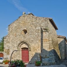
Église Saint-Sulpice de Montagny
6.3 km
Église Saint-Jean-Baptiste de Chaussan
6.8 km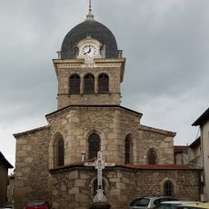
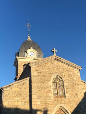
Église Saint-Andéol de Saint-Andéol-le-Château
149 m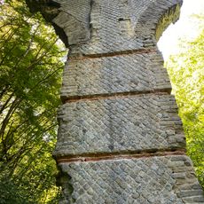
Bridge of Virieux
6.8 km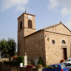
Église Saint-Saturnin de Saint-Sorlin
5.8 km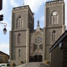
Église Saint-Didier de Saint-Didier-sous-Riverie
6.8 km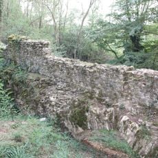
Bridge of Jurieux
6.2 km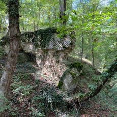
Bridge of La Billannière
6.6 km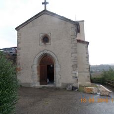
Église de l'Assomption-de-la-Vierge de Dargoire
3.6 km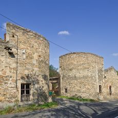
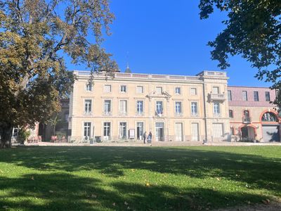
Château Le Clos Bourbon
6.5 km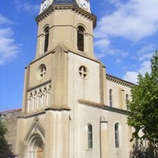
Église Saint-Joseph de Saint-Joseph
6.9 km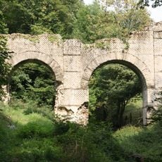
Bridge of Les Granges
5.5 km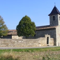
Chapelle Saint-Lazare de Saint-Martin-de-Cornas
1.6 km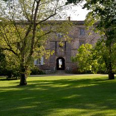
Château de Chassagny
3.8 km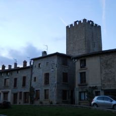
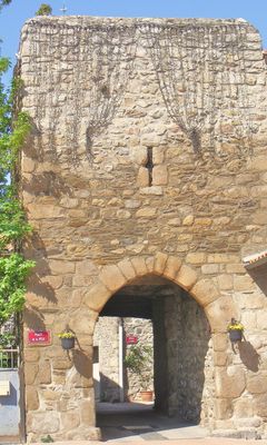
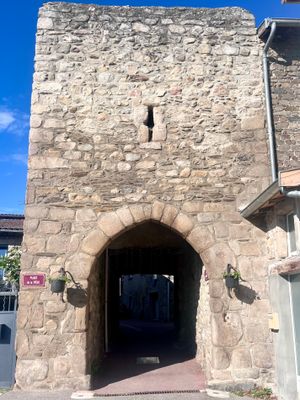
Tour de la Dîme
4.1 km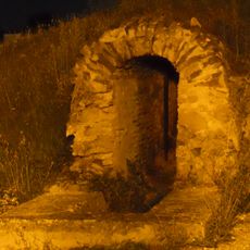
Pont-aqueduc du Mornantet
4.3 km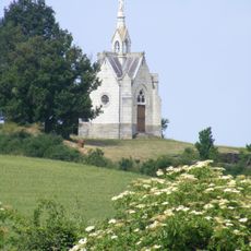
Chapelle Notre-Dame-de-Lourdes de Crêt Chagneux
6.7 kmVisited this place? Tap the stars to rate it and share your experience / photos with the community! Try now! You can cancel it anytime.
Discover hidden gems everywhere you go!
From secret cafés to breathtaking viewpoints, skip the crowded tourist spots and find places that match your style. Our app makes it easy with voice search, smart filtering, route optimization, and insider tips from travelers worldwide. Download now for the complete mobile experience.

A unique approach to discovering new places❞
— Le Figaro
All the places worth exploring❞
— France Info
A tailor-made excursion in just a few clicks❞
— 20 Minutes