
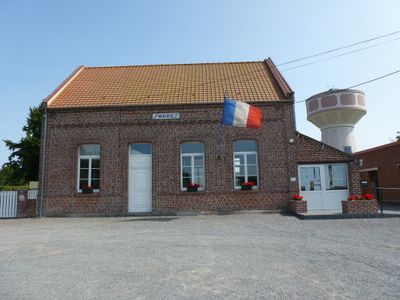
Enguinegatte, former commune in Pas-de-Calais, France
Location: Pas-de-Calais
Location: canton of Fauquembergues
Location: arrondissement of Saint-Omer
Elevation above the sea: 89 m
Shares border with: Mametz, Thérouanne, Delettes, Enquin-les-Mines, Erny-Saint-Julien
GPS coordinates: 50.60806,2.27111
Latest update: June 6, 2025 16:59
Château de Crémimil, Estrée-Blanche
4.4 km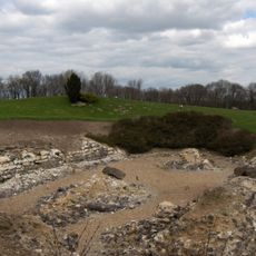
Abbaye Saint-Jean-du-Mont de Thérouanne
3.3 km
City walls of Thérouanne
3.3 km
Église Saint-Martin de Thérouanne
3.3 km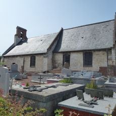
Chapelle Saint-Martin de Nielles
3 km
Église Saint-Omer de Blessy
4.3 km
Église Saint-Honoré de Crecques
3.9 km
Église Saint-Maxime de Delettes
4.6 km
Église Saint-Vaast de Mametz
5 km
Église Saint-Pierre de Liettres
5.3 km
Église Saint-Omer de Dohem
7 km
Église Saint-Vaast de Bomy
4.6 km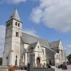
Église Saint-Martin de Fléchin
5.6 km
Moulin de Mametz
5 km
Église Saint-Maclou de Rebecques
4.7 km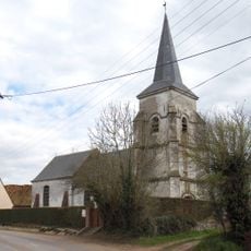
Église Notre-Dame d'Upen-d'Aval
4.9 km
Église Saint-Pierre-ès-Liens de Coyecques
6.3 km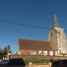
Église Saint-Léger d'Herbelles
6.2 km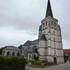
Église Saint-Vaast d'Estrée-Blanche
3.8 km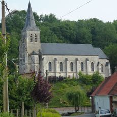
Église Saint-Omer d'Enquin-les-Mines
2.4 km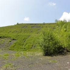
Spoil tip 32
5.3 km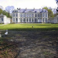
Château de Bomy
4.4 km
Église Saint-Julien d'Erny-Saint-Julien
2.7 km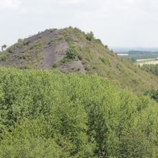
Spoil tip 31
5.2 km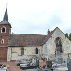
Église Sainte-Apolline de Fléchinelle
3.8 km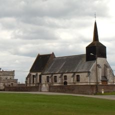
Église Saint-Martin de Clarques
4.1 km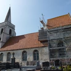
Église Saint-Germain de Serny
2.6 km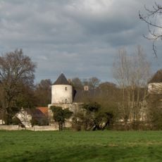
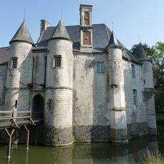
Château de Liettres
5 kmReviews
Visited this place? Tap the stars to rate it and share your experience / photos with the community! Try now! You can cancel it anytime.
Discover hidden gems everywhere you go!
From secret cafés to breathtaking viewpoints, skip the crowded tourist spots and find places that match your style. Our app makes it easy with voice search, smart filtering, route optimization, and insider tips from travelers worldwide. Download now for the complete mobile experience.

A unique approach to discovering new places❞
— Le Figaro
All the places worth exploring❞
— France Info
A tailor-made excursion in just a few clicks❞
— 20 Minutes