
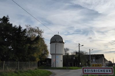
Pierres, commune in Eure-et-Loir, France
Location: canton of Maintenon
Location: Eure-et-Loir
Location: arrondissement of Chartres
Elevation above the sea: 133 m
Shares border with: Villiers-le-Morhier, Nogent-le-Roi
Phone: +33237276650
Email: mairie@mairie-pierres.fr
Website: http://mairie-pierres.fr
GPS coordinates: 48.59111,1.56694
Latest update: May 27, 2025 04:21

Maintenon Castle
1.1 km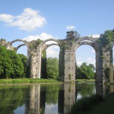
Aqueduct of Maintenon
1.7 km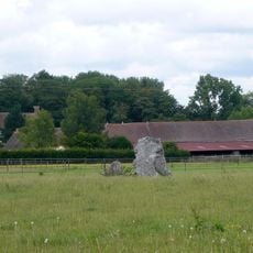
Changé archaeological site
2.7 km
Menhir dit Le But de Gargantua et dolmen dit Le Berceau
2.7 km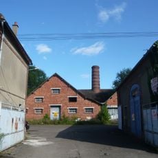
Briqueterie Lambert
5.7 km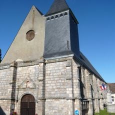
Saint Piatus church
5 km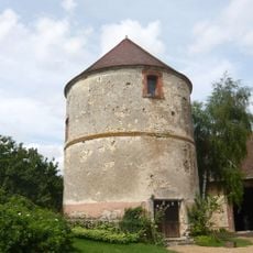
Ferme au colombier
4.1 km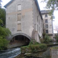
Moulin de Saint-Piat
5 km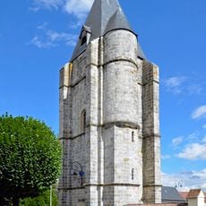
Tour du Pilori
6.5 km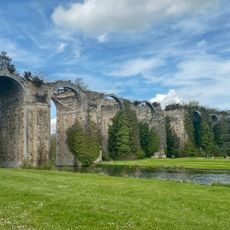
Golf du Château de Maintenon
1.7 km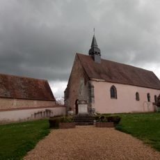
Église Saint-Hilaire, Mévoisins
4.9 km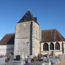
Église Saint-Martin, Bouglainval
5.3 km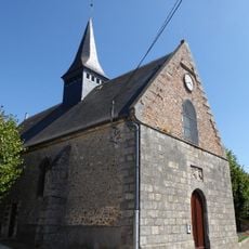
Église Saint-Jean-Baptiste, Chartainvilliers
5.4 km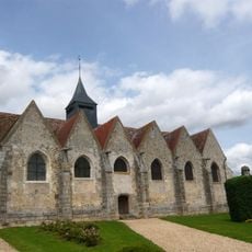
Église Saint-Léger de Néron
4.1 km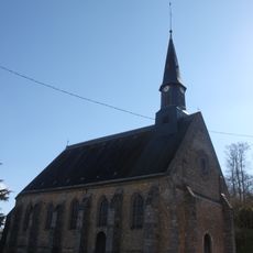
Église Saint-Étienne de Villiers-le-Morhier
3.2 km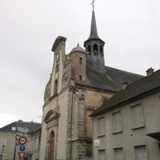
Église Saint-Pierre, Maintenon
748 m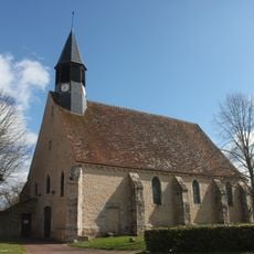
Église Saint-Martin, Yermenonville
5.5 km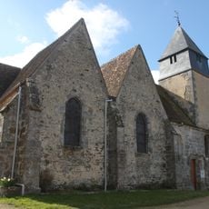
Église Saint-Martin de Saint-Martin-de-Nigelles
4 km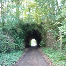
Tunnel la Grande Voûte
3.6 km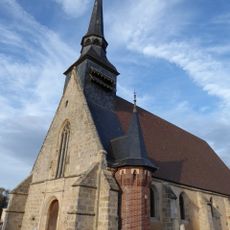
Église Saint-Gervais-Saint-Protais, Pierres
425 m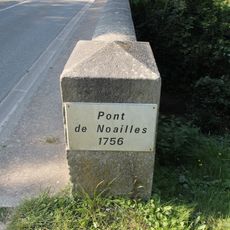
Pont de Noailles
5.8 km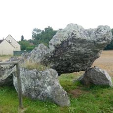
Dolmen de la Grenouille
2.9 km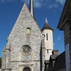
Chapelle Saint-Nicolas
990 m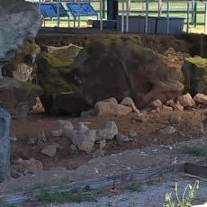
Dolmen Petit
2.8 km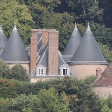
Château de Bouglainval
5 km
But de Gargantua
2.7 km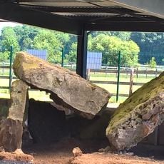
Dolmen du Berceau
2.8 km
Golf Nogent Le Roi
6.3 kmReviews
Visited this place? Tap the stars to rate it and share your experience / photos with the community! Try now! You can cancel it anytime.
Discover hidden gems everywhere you go!
From secret cafés to breathtaking viewpoints, skip the crowded tourist spots and find places that match your style. Our app makes it easy with voice search, smart filtering, route optimization, and insider tips from travelers worldwide. Download now for the complete mobile experience.

A unique approach to discovering new places❞
— Le Figaro
All the places worth exploring❞
— France Info
A tailor-made excursion in just a few clicks❞
— 20 Minutes