
Reignac, commune in Charente, France
Location: canton of Baignes-Sainte-Radegonde
Location: Charente
Location: arrondissement of Cognac
Elevation above the sea: 104 m
Shares border with: Barbezieux-Saint-Hilaire, Condéon, Salles-de-Barbezieux, Le Tâtre, Montmérac
Phone: +33545785237
Email: mairiereignac@wanadoo.fr
GPS coordinates: 45.42250,-0.18306
Latest update: June 2, 2025 22:09

Château de Barbezieux
6 km
Abbaye Saint-Étienne
6.2 km
Château de Montausier
5.8 km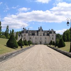
Château de Montchaude
3.1 km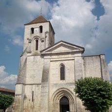
Église Saint-Mathias
6 km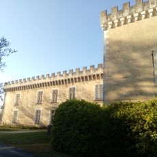
Château de Touvérac
4.8 km
Église Notre-Dame de Berneuil
9.3 km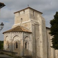
Église Saint-Pardoux
7.5 km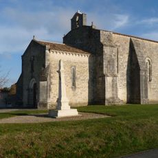
Église Saint-Jean
3.5 km
Église Saint-Sulpice
8.1 km
Prieuré Saint-Pierre de Guimps
6.8 km
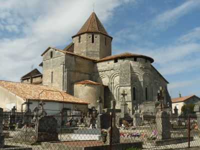
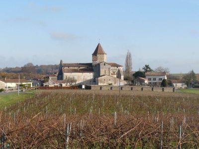
Église Saint-Pierre de Reignac
27 m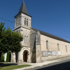
Église Sainte-Eugénie de Saint-Maigrin
7.6 km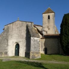
Église Saint-Hilaire de Barbezieux
4.3 km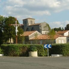
Église Saint-Bonnet
9.1 km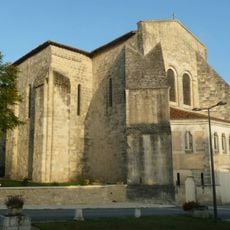
Église Saint-Marien
3.9 km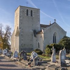
Église Saint-Jacques
5.2 km
Église Saint-Pierre d'Oriolles
8 km
Église Saint-Martin de Touvérac
5 km
Église Saint-Vincent de la Chapelle
9.3 km
Théâtre du Château
6 km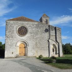
Église abbatiale Saint-Étienne de l'ancienne abbaye de Bénédictins de Baignes-Sainte-Radegonde
6.2 km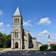
Église Saint-Cybard de Montchaude
3.3 km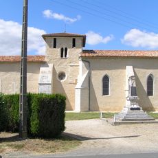
Église prieuré Saint-Saturnin
3.5 km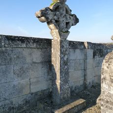
Croix de cimetière de Barret
7.8 km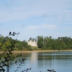
Château de Saint-Maigrin
5.4 km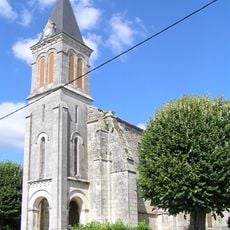
Prieuré Sainte-Radegonde de Baignes-Sainte-Radegonde
7.4 km
Temple protestant de Saint-Maigrin
7.5 kmReviews
Visited this place? Tap the stars to rate it and share your experience / photos with the community! Try now! You can cancel it anytime.
Discover hidden gems everywhere you go!
From secret cafés to breathtaking viewpoints, skip the crowded tourist spots and find places that match your style. Our app makes it easy with voice search, smart filtering, route optimization, and insider tips from travelers worldwide. Download now for the complete mobile experience.

A unique approach to discovering new places❞
— Le Figaro
All the places worth exploring❞
— France Info
A tailor-made excursion in just a few clicks❞
— 20 Minutes