
Vaux-lès-Saint-Claude, commune in Jura, France
Location: Jura
Location: arrondissement of Saint-Claude
Industry: administration publique générale
Shares border with: Molinges, Jeurre, Lavancia-Epercy, Pratz, Rogna, Viry, Chassal-Molinges
Phone: +33384424225
Email: mairie-de-vaux-les-saint-claude@wanadoo.fr
GPS coordinates: 46.35778,5.73722
Latest update: March 11, 2025 14:12

Château de Dortan
7.4 km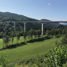
Viaduc de Villards-d'Héria
5.9 km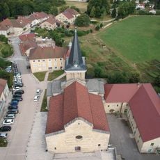
Église Notre-Dame de Saint-Lupicin
6.4 km
Chapelle de Saint-Romain-de-Roche
892 m
Roche d'Antre
6.8 km
Église Saint-Laurent d'Arbent
8.1 km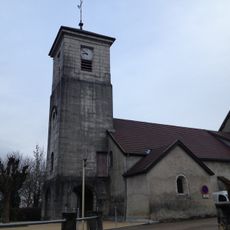
Église Saint-Martin de Dortan
7.3 km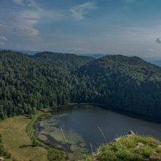
Scenic viewpoint
6.8 km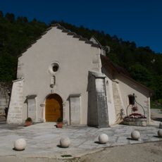
Chapelle de Lect
5.7 km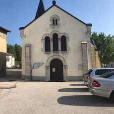
Église de l'Assomption de Lavans-lès-Saint-Claude
4.5 km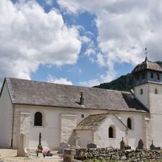
Église Saint-Léger de Jeurre
2.4 km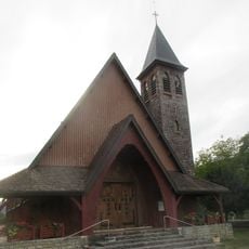
Église Saint-Georges de Lavancia-Epercy
5.4 km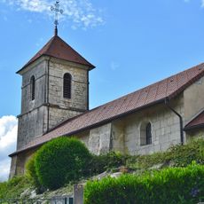
Église Saint-Maurice de Montcusel
5.9 km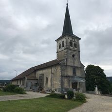
Église Saint-Romain de Viry
6.2 km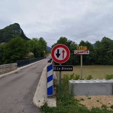
Bridge of Chancia
7.2 km
Église de la Décollation-de-Saint-Jean-Baptiste de Rogna
3.5 km
Chapelle Saint-Laurent de Villards-d'Héria
6.2 km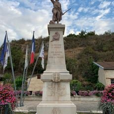
War memorial of Arbent
8.1 km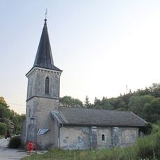
Chapelle Saint-Michel de Sièges
5.1 km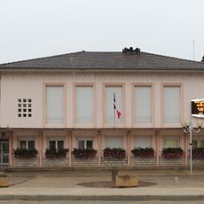
Town hall of Dortan
7.4 km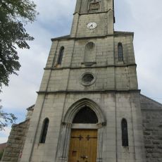
Église Sainte-Marie-Madeleine de Lect
5.8 km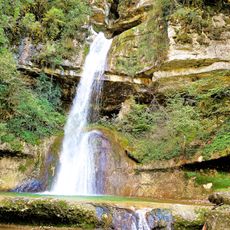
Cascade du Moulin
4.8 km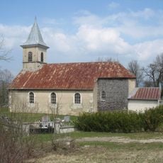
Église Saint-Georges de Larrivoire
4.1 km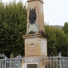
War memorial of Dortan
7.3 km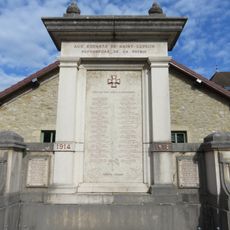
War memorial of Saint-Lupicin
6.4 km
Église Saint-Léger de Molinges
2.1 km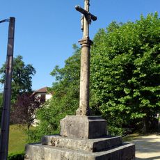
Croix de Pratz
2.9 km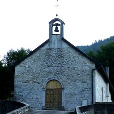
Église de Chancia
7.4 kmReviews
Visited this place? Tap the stars to rate it and share your experience / photos with the community! Try now! You can cancel it anytime.
Discover hidden gems everywhere you go!
From secret cafés to breathtaking viewpoints, skip the crowded tourist spots and find places that match your style. Our app makes it easy with voice search, smart filtering, route optimization, and insider tips from travelers worldwide. Download now for the complete mobile experience.

A unique approach to discovering new places❞
— Le Figaro
All the places worth exploring❞
— France Info
A tailor-made excursion in just a few clicks❞
— 20 Minutes