
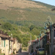
Pressiat, former commune in Ain, France
Location: Ain
Location: arrondissement of Bourg-en-Bresse
Industry: administration publique générale
Shares border with: Courmangoux, Treffort-Cuisiat, Bourcia
GPS coordinates: 46.32306,5.38556
Latest update: April 12, 2025 05:26
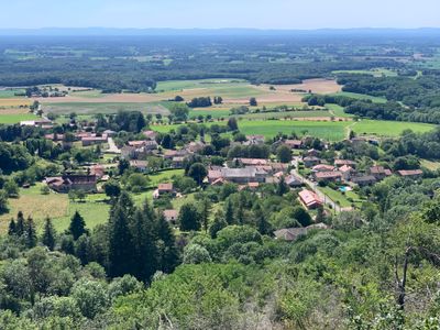
Mont Myon
1.2 km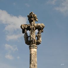
Calvaire de Dingier
4.4 km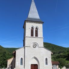
Église Saint-Laurent de Pressiat
54 m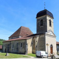
Église Saint-Hippolyte de Verjon
3.8 km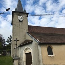
Église Sainte-Catherine de Montfleur
4 km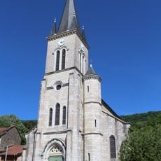
Église Saint-Clément de Cuisiat
2.5 km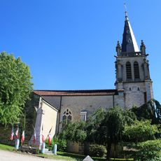
Église Saint-Oyen de Courmangoux
1.4 km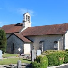
Église Sainte-Madeleine de Pouillat
3.3 km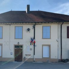
Town hall of Pouillat
3.3 km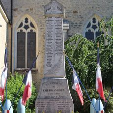
War memorial of Courmangoux
1.5 km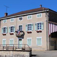
Mairie de Courmangoux
1.5 km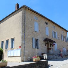
Town hall of Verjon
3.9 km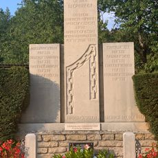
Monument des Déportés de Courmangoux
2.3 km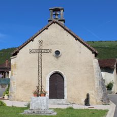
Chapelle Saint-Sébastien de Chevignat
829 m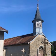
Chapelle Saint-Léger de Civria
3.1 km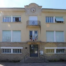
Mairie de Pressiat
95 m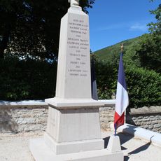
War memorial of Pressiat
53 m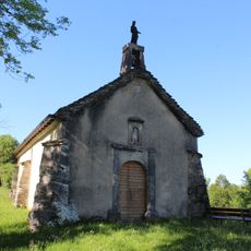
Chapelle Saint-Jean-Baptiste de Pouillat
3.3 km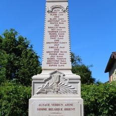
War memorial of Cuisiat
2.5 km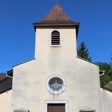
Église Saint-Gengulphe de Bourcia
3.8 km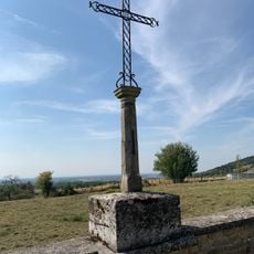
Cemetery cross of Pressiat
81 m
War memorial of Verjon
3.8 km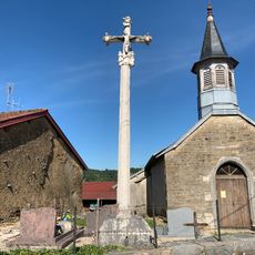
Croix de cimetière de Civria
3.1 km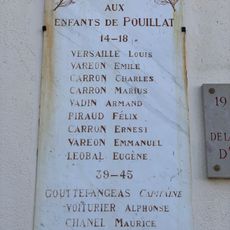
War memorial of Pouillat
3.3 km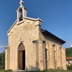
Chapelle Notre-Dame-du-Sacré-Cœur de Dingier
4.5 km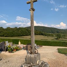
Cemetery cross of Verjon
4.4 km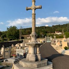
Cemetery cross of Courmangoux
1.4 km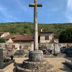
Cemetery cross of Cuisiat
3 kmReviews
Visited this place? Tap the stars to rate it and share your experience / photos with the community! Try now! You can cancel it anytime.
Discover hidden gems everywhere you go!
From secret cafés to breathtaking viewpoints, skip the crowded tourist spots and find places that match your style. Our app makes it easy with voice search, smart filtering, route optimization, and insider tips from travelers worldwide. Download now for the complete mobile experience.

A unique approach to discovering new places❞
— Le Figaro
All the places worth exploring❞
— France Info
A tailor-made excursion in just a few clicks❞
— 20 Minutes