
Tanneron, commune in Var, France
Location: canton of Fayence
Location: Var
Location: arrondissement of Draguignan
Elevation above the sea: 274 m
Shares border with: Auribeau-sur-Siagne, Mandelieu-la-Napoule, Pégomas, Peymeinade, Le Tignet, Les Adrets-de-l'Estérel, Fréjus, Montauroux
Phone: +33493606813
Email: accueil@communedetanneron.fr
Website: http://communedetanneron.fr
GPS coordinates: 43.59056,6.87556
Latest update: May 29, 2025 14:13
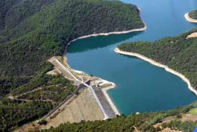
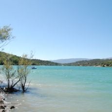
Lac de Saint-Cassien
6.1 km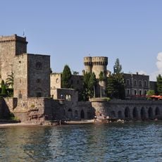
Château de la Napoule
9.3 km
Château de La Colle Noire
7.1 km
Mont Vinaigre
10.8 km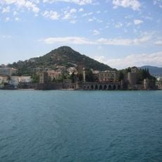
San Peyre
8.8 km
Mosquée Iqraa de Cannes
8 km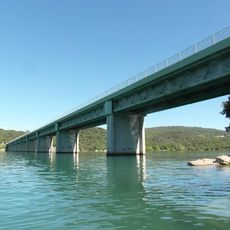
Pont du Pré-Claou
6 km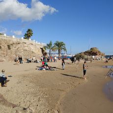
Plage de la Raguette
9.3 km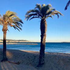
Plage de Robinson
8.8 km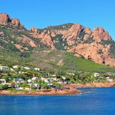
Arboretum du Plan Esterel
11.7 km
Dolmen de la Graou
8.3 km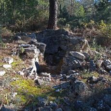
Lou Serre Dinguille dolmen
7.4 km
Riviera Golf Club
7.2 km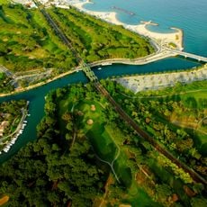
Old Course Cannes Golf Links
8.5 km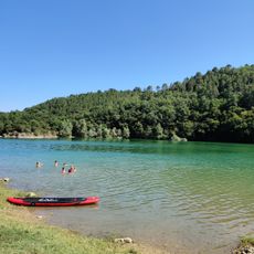
Plage des Américains
7.6 km
Sanctuaire de Notre-Dame-de-Valcluse
4.6 km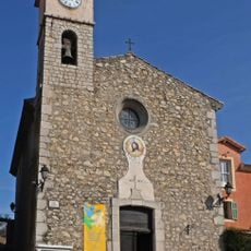
Église Saint-Georges de La Roquette-sur-Siagne
5.9 km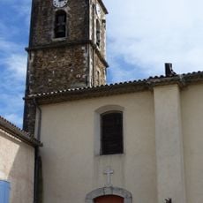
Église Saint-Pierre de Pegomas
3.3 km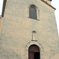
Église d'Auribeau-sur-Siagne
4.2 km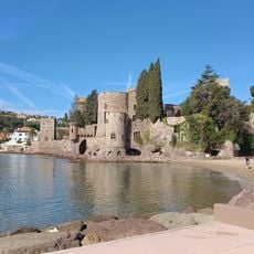
Plage du Château
9.2 km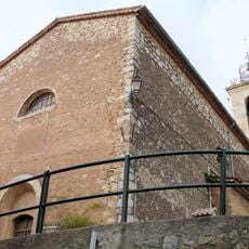
Église Saint-Casimir de Spéracèdes
6.6 km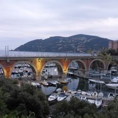
La Rague Viaduct
9.6 km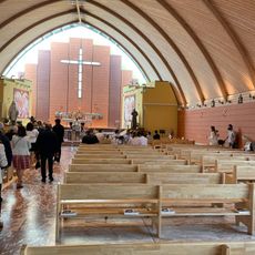
Notre-Dame du Liban
7.8 km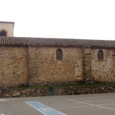
Église Notre-Dame-de-Peygros de Tanneron
399 m
Église Notre-Dame des Adrets-de-l'Estérel
7.8 km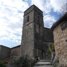
Église Saint-Barthélemy de Montauroux
9.6 km
Chapelle Barthélemy de Montauroux
9.5 km
Cinéum
8.1 kmReviews
Visited this place? Tap the stars to rate it and share your experience / photos with the community! Try now! You can cancel it anytime.
Discover hidden gems everywhere you go!
From secret cafés to breathtaking viewpoints, skip the crowded tourist spots and find places that match your style. Our app makes it easy with voice search, smart filtering, route optimization, and insider tips from travelers worldwide. Download now for the complete mobile experience.

A unique approach to discovering new places❞
— Le Figaro
All the places worth exploring❞
— France Info
A tailor-made excursion in just a few clicks❞
— 20 Minutes